 Old Cumbria Gazetteer
 |
 |
|
| Base Brown, Borrowdale | ||
| Base Brown | ||
| civil parish:- | Borrowdale (formerly Cumberland) | |
| county:- | Cumbria | |
| locality type:- | hill | |
| coordinates:- | NY22511146 | |
| 1Km square:- | NY2211 | |
| 10Km square:- | NY21 | |
| altitude:- | 2119 feet | |
| altitude:- | 646m | |
|
|
||
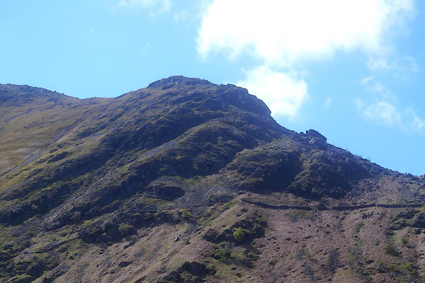
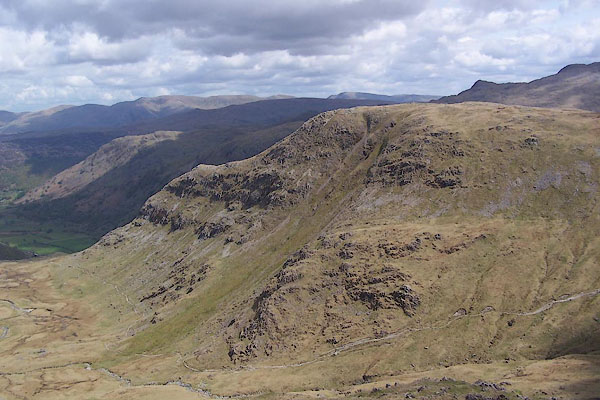 BSU08.jpg (taken 17.5.2010) 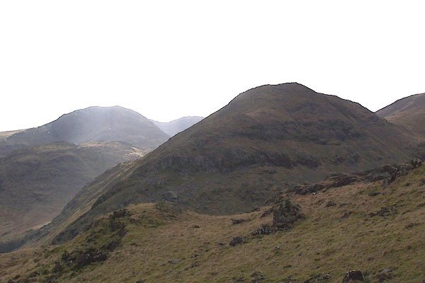 BNG59.jpg From the black lead mines. (taken 26.2.2007) |
||
|
|
||
| evidence:- | old map:- Ford 1839 map placename:- Bays Brown |
|
| source data:- | Map, uncoloured engraving, Map of the Lake District of
Cumberland, Westmoreland and Lancashire, scale about 3.5 miles
to 1 inch, published by Charles Thurnam, Carlisle, and by R
Groombridge, 5 Paternoster Row, London, 3rd edn 1843.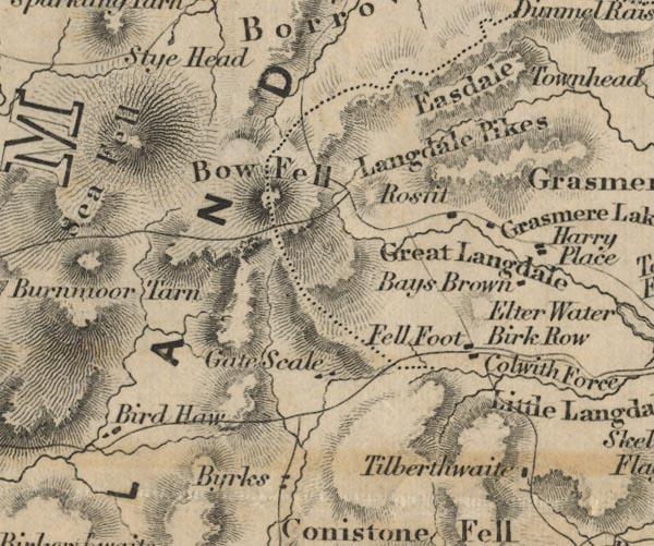 FD02NY20.jpg "Bays Brown" item:- JandMN : 100.1 Image © see bottom of page |
|
|
|
||
| evidence:- | outline view:- Jenkinson 1875 placename:- Base Brown |
|
| source data:- | Print, lithograph, outline view, Panoramic Sketches from Scawfell Pike, Cumberland,
by Edwin A Pettitt, London, published by Edward Stanford, 55 Charing Cross, London,
1875.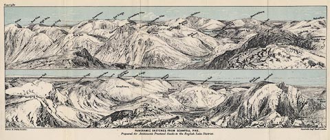 click to enlarge click to enlargeJk01E3.jpg "... Base Brown ..." item:- JandMN : 28.9 Image © see bottom of page |
|
|
|
||
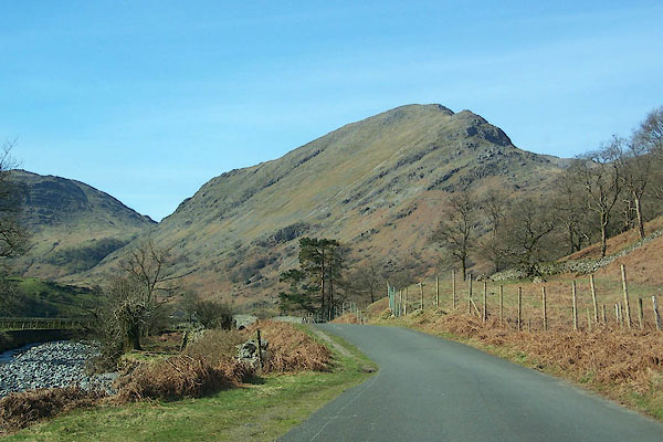 BLY02.jpg From the road to Seathwaite. (taken 24.4.2006) 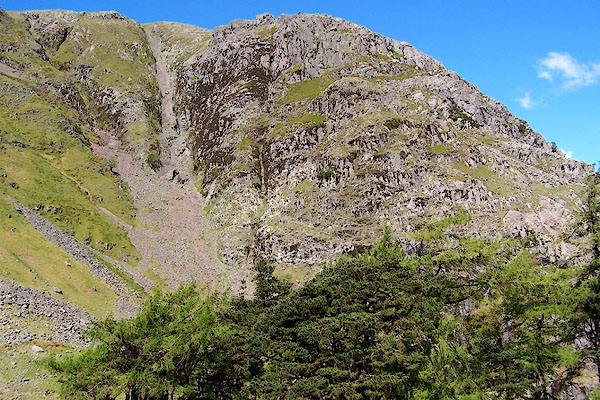 BQO06.jpg (taken 12.5.2009) |
||
|
|
||
 CGA86.jpg Each of the terraces is the remains of a pyroclastic flow. (taken 7.5.2017) |
||
|
|
||
 Lakes Guides menu.