 Old Cumbria Gazetteer
 |
 |
|
| Beldoo Hill, Stainmore | ||
| Beldoo Hill | ||
| civil parish:- | Stainmore (formerly Westmorland) | |
| county:- | Cumbria | |
| locality type:- | hill | |
| locality type:- | county boundary mark | |
| coordinates:- | NY89181382 | |
| 1Km square:- | NY8913 | |
| 10Km square:- | NY81 | |
| altitude:- | 1565 feet | |
| altitude:- | 477m | |
| county:- | Durham | |
| current boundary | ||
| locality:- | Cumbria boundary | |
| old boundary | ||
| locality:- | Cumberland boundary | |
|
|
||
| evidence:- | possibly old map:- Bowen and Kitchin 1760 placename:- Bauderskarth Hill |
|
| source data:- | Map, hand coloured engraving, A New Map of the Counties of
Cumberland and Westmoreland Divided into their Respective Wards,
scale about 4 miles to 1 inch, by Emanuel Bowen and Thomas
Kitchin et al, published by T Bowles, Robert Sayer, and John
Bowles, London, 1760.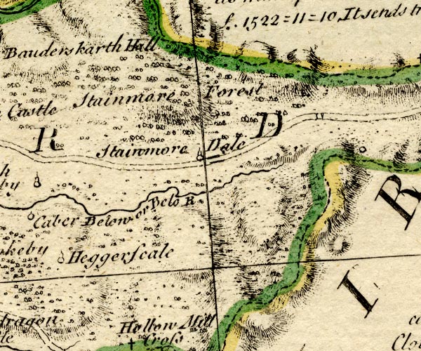 BO18NY81.jpg "Bauderskarth Hill" hill hachuring, on county boundary Westmorland Yorkshire item:- Armitt Library : 2008.14.10 Image © see bottom of page |
|
|
|
||
| evidence:- | old map:- Jefferys 1770 (Wmd) placename:- Bald How |
|
| source data:- | Map, 4 sheets, The County of Westmoreland, scale 1 inch to 1
mile, surveyed 1768, and engraved and published by Thomas
Jefferys, London, 1770.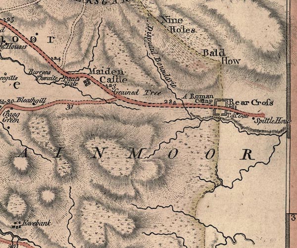 J5NY81SE.jpg "Bald How" hill hachuring; hill or mountain, across county boundary item:- National Library of Scotland : EME.s.47 Image © National Library of Scotland |
|
|
|
||
 Lakes Guides menu.