 Old Cumbria Gazetteer
 |
 |
|
| Birkrigg Common, Aldingham | ||
| Birkrigg Common | ||
| civil parish:- | Aldingham (formerly Lancashire) | |
| civil parish:- | Urswick (formerly Lancashire) | |
| county:- | Cumbria | |
| locality type:- | common | |
| coordinates:- | SD28507447 (etc) | |
| 1Km square:- | SD2874 | |
| 10Km square:- | SD27 | |
| altitude:- | 447 feet | |
| altitude:- | 136m | |
|
|
||
| evidence:- | descriptive text:- West 1778 (11th edn 1821) placename:- station, Birkrigg Common |
|
| source data:- | Guide book, A Guide to the Lakes, by Thomas West, published by
William Pennington, Kendal, Cumbria once Westmorland, and in
London, 1778 to 1821. goto source goto sourcePage 41:- "... Leaving Urswick behind, ascend Birkrig, a rocky eminence, and from the beacon have a variety" goto sourcePage 42:- "of extensive and pleasant views, of land and sea, mountains and islands. Ulverston appears to the north east, seated under a hanging wood, and beyond that Furness-fells, in various shapes, form the grandest termination that can be imagined. The back view is the reverse of this. When the tide is up, you see a fine arm of the sea stretching far within land, terminated by bold rocks and steep shores. Beyond this expanse, a far country is seen, and Lancaster town and castle, in a fine point of view, under a screen of high grounds, over which sable Clougha rears his venerable head. Ingleborough, behind many other mountains, has a fine effect from this station." |
|
|
|
||
| evidence:- | old map:- Otley 1818 placename:- Birkrigg |
|
| source data:- | Map, uncoloured engraving, The District of the Lakes,
Cumberland, Westmorland, and Lancashire, scale about 4 miles to
1 inch, by Jonathan Otley, 1818, engraved by J and G Menzies,
Edinburgh, Scotland, published by Jonathan Otley, Keswick,
Cumberland, et al, 1833.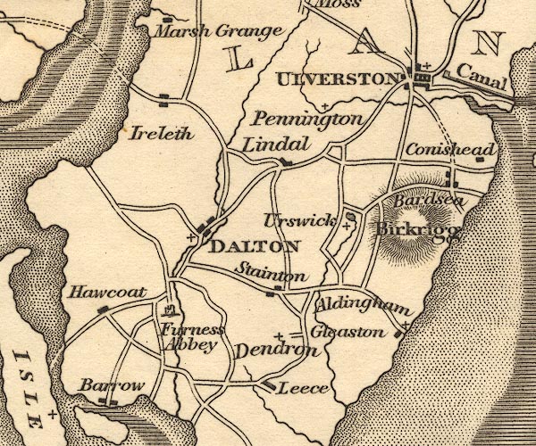 OT02SD27.jpg item:- JandMN : 48.1 Image © see bottom of page |
|
|
|
||
Lakes Guides menu.