Old Cumbria Gazetteer
 |
 |
|
||
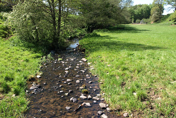
| Blencarn Beck | ||||
| runs into:- |  Briggle Beck Briggle Beck |
|||
|
|
||||
| civil parish:- | Culgaith (formerly Cumberland) | |||
| county:- | Cumbria | |||
| locality type:- | river | |||
| 1Km square:- | NY6231 | |||
| 10Km square:- | NY63 | |||
|
|
||||
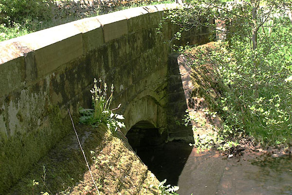
 BWN67.jpg At the bridge in Blencarn, (taken 25.5.2012) |
||||
|
|
||||
| evidence:- | old map:- OS County Series (Cmd 51 13) placename:- Blencarn Beck |
|||
| source data:- | Maps, County Series maps of Great Britain, scales 6 and 25
inches to 1 mile, published by the Ordnance Survey, Southampton,
Hampshire, from about 1863 to 1948. |
|||
|
|
||||
| evidence:- | probably old map:- Bickham 1753-54 (Cmd) placename:- Blenkenbeck River |
|||
| source data:- | Map, uncoloured engraving, perspective map, Map of Cumberland
North from London, by George Bickham, James Street, Bunhill
Fields, London, 1753, published by F Jollie and Sons, Carlisle,
Cumberland, 1811.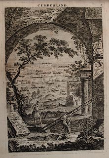 click to enlarge click to enlargeJL05.jpg "Blenkenbeck R" view (sort of) item:- Carlisle Library : 4.2 Image © Carlisle Library |
|||
|
|
||||
| places:- |
|
|||
|
||||
|
||||
Lakes Guides menu.