Old Cumbria Gazetteer
 |
 |
|
||
| Boredale Beck | ||||
| runs into:- |  Sandwick Beck Sandwick Beck |
|||
|
|
||||
| locality:- | Boredale | |||
| civil parish:- | Martindale (formerly Westmorland) | |||
| county:- | Cumbria | |||
| locality type:- | river | |||
| 1Km square:- | NY4217 (etc) | |||
| 10Km square:- | NY41 | |||
|
|
||||
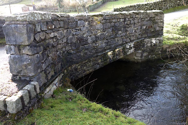
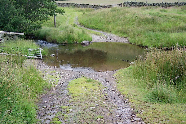
 BQZ89.jpg At the footbridge, looking towards the ford. (taken 6.7.2009) 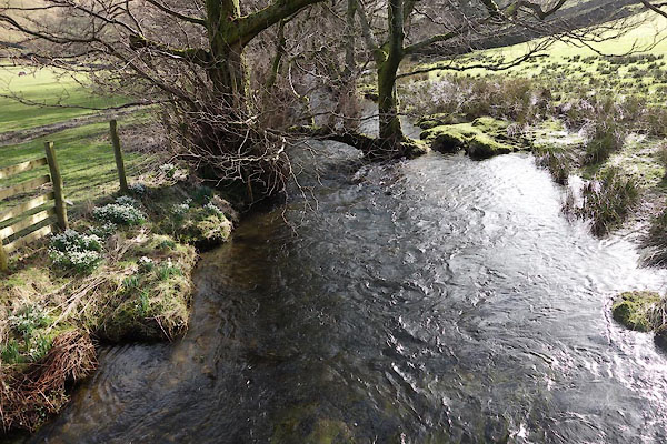 BZZ40.jpg (taken 27.2.2014) |
||||
|
|
||||
| evidence:- | old map:- OS County Series (Wmd 12 12) placename:- Boredale Beck |
|||
| source data:- | Maps, County Series maps of Great Britain, scales 6 and 25
inches to 1 mile, published by the Ordnance Survey, Southampton,
Hampshire, from about 1863 to 1948. |
|||
|
|
||||
| evidence:- | probably old map:- Jefferys 1770 (Wmd) |
|||
| source data:- | Map, 4 sheets, The County of Westmoreland, scale 1 inch to 1
mile, surveyed 1768, and engraved and published by Thomas
Jefferys, London, 1770.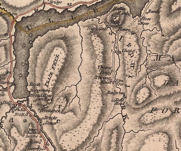 J5NY41NW.jpg single or double wiggly line; river, plotted wrong item:- National Library of Scotland : EME.s.47 Image © National Library of Scotland |
|||
|
|
||||
| evidence:- | old map:- Cary 1789 (edn 1805) |
|||
| source data:- | Map, uncoloured engraving, Westmoreland, scale about 2.5 miles
to 1 inch, by John Cary, London, 1789; edition 1805.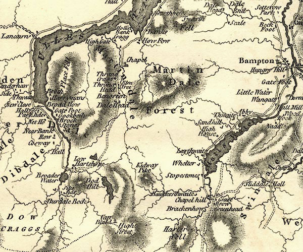 CY24NY41.jpg river running into Ullswater (incorrectly) item:- JandMN : 129 Image © see bottom of page |
|||
|
|
||||
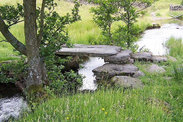
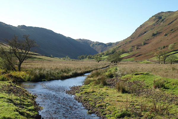 BTR51.jpg (taken 20.10.2010) |
||||
|
|
||||
| places:- |
|
|||
|
||||
|
||||
Lakes Guides menu.