 |
 |
|
|
|
|
Bransty |
| locality:- |
Whitehaven |
| civil parish:- |
Whitehaven (formerly Cumberland) |
| county:- |
Cumbria |
| locality type:- |
locality |
| locality type:- |
buildings |
| coordinates:- |
NX97691903 (etc) |
| 1Km square:- |
NX9719 |
| 10Km square:- |
NX91 |
|
|
| evidence:- |
old map:- OS County Series (Cmd 67 2)
placename:- Bransty
|
| source data:- |
Maps, County Series maps of Great Britain, scales 6 and 25
inches to 1 mile, published by the Ordnance Survey, Southampton,
Hampshire, from about 1863 to 1948.
|
|
|
| evidence:- |
old map:- Ford 1839 map
placename:- Bransty
|
| source data:- |
Map, uncoloured engraving, Map of the Lake District of
Cumberland, Westmoreland and Lancashire, scale about 3.5 miles
to 1 inch, published by Charles Thurnam, Carlisle, and by R
Groombridge, 5 Paternoster Row, London, 3rd edn 1843.
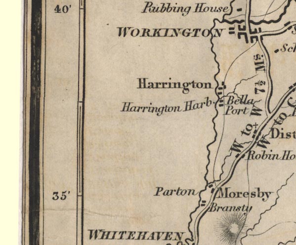
FD02NX92.jpg
"Bransty"
item:- JandMN : 100.1
Image © see bottom of page
|
|
|
| places:- |
 |
NX97431848 Bransty Arch (Whitehaven) gone |
|
|
|
NX97461855 Bransty Hotel (Whitehaven) |
|
|
|
NX97441851 bridge, Whitehaven (2) (Whitehaven) |
|
|
|
NX97351918 coke works, Bransty (Whitehaven) gone |
|
|
|
NX97441859 Bransty Engine Shed (Whitehaven) gone |
|
|
|
NX97391877 Bransty Engine Shed (Whitehaven) |
|
|
|
NX97641929 police station, Bransty (Whitehaven) |
|
|
|
NX97331917 railway sidings, Bransty (Whitehaven / Parton) |
|
|
|
NX97451880 rope works, Whitehaven (Whitehaven) |
|
|
|
NX97421897 soap works, Whitehaven (Whitehaven) |
|
|
|
NX97641928 Tobacco Pipes (Whitehaven) |
|
|
|
NX9718 tramroad, James's Pit (Workington) gone |
|
|
|
NX9718 tramroad, William Pit (Whitehaven) gone |
|
|
|
NX97671897 Bransty Road (Whitehaven) |
|
|
|
NX97451851 Bransty Row (Whitehaven) |
|
|
|
NX97401910 William Pit (Whitehaven) |
|
|
|
NX97411894 Lonsdale Ironworks (Whitehaven) gone |
|
|
|
NX97851991 Bransty Turnpike (Whitehaven) L |
|
