 Old Cumbria Gazetteer
 |
 |
|
| Crow Park Bridge, Lancaster Canal | ||
| Crow Park Bridge | ||
| Crowpark Bridge | ||
| bridge no.181 | ||
| site name:- | Lancaster Canal | |
| Street:- | Hawes Lane | |
| locality:- | Natland | |
| civil parish:- | Natland (formerly Westmorland) | |
| county:- | Cumbria | |
| locality type:- | canal bridge | |
| locality type:- | bridge | |
| coordinates:- | SD51368910 | |
| 1Km square:- | SD5189 | |
| 10Km square:- | SD58 | |
|
|
||
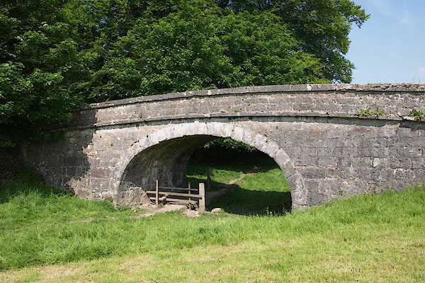 BYM37.jpg (taken 7.6.2013) |
||
|
|
||
| evidence:- | old map:- OS County Series (Wmd 38 16) placename:- Crowpark Bridge |
|
| source data:- | Maps, County Series maps of Great Britain, scales 6 and 25
inches to 1 mile, published by the Ordnance Survey, Southampton,
Hampshire, from about 1863 to 1948. |
|
|
|
||
| evidence:- | old map:- Cary 1789 (edn 1805) |
|
| source data:- | Map, uncoloured engraving, Westmoreland, scale about 2.5 miles
to 1 inch, by John Cary, London, 1789; edition 1805.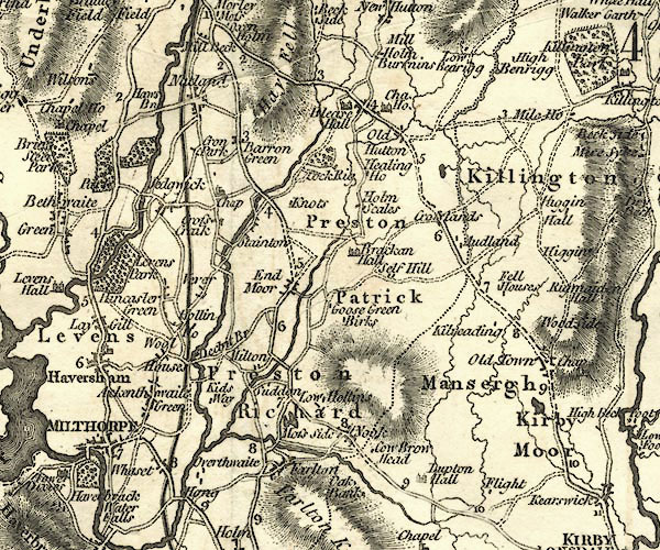 CY24SD58.jpg road across a stream; bridge over the Lancaster Canal item:- JandMN : 129 Image © see bottom of page |
|
|
|
||
| evidence:- | database:- Listed Buildings 2010 placename:- Crowpark Bridge |
|
| source data:- | courtesy of English Heritage "LANCASTER KENDAL CANAL, CROWPARK BRIDGE OVER LANCASTER/KENDAL CANAL / / HAWES LANE / NATLAND / SOUTH LAKELAND / CUMBRIA / II / 76450 / SD5139089018" |
|
| source data:- | courtesy of English Heritage "Canal Bridge. 1818 by John Fletcher, engineer, from the original designs of John Rennie whose route for the canal was authorised in 1792. Squared, coursed limestone with limestone string and coping. Single flattened elliptical arch with rusticated voussoirs and keystone. Shallow arched parapets. Approx. 12' wide between parapets. Canal now dry." |
|
|
|
||
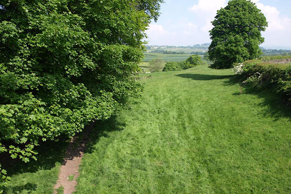 BYM38.jpg View N. (taken 7.6.2013) 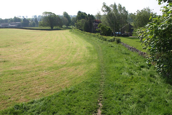 BYM39.jpg View S. (taken 7.6.2013) 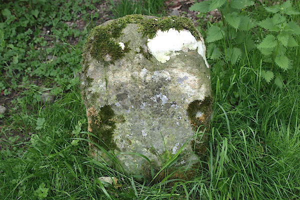 BYM45.jpg Stone, significance? (taken 7.6.2013) |
||
|
|
||
 Lakes Guides menu.