Old Cumbria Gazetteer
 |
 |
|
||
| Cawdale Beck | ||||
| civil parish:- | Bampton (formerly Westmorland) | |||
| county:- | Cumbria | |||
| locality type:- | river | |||
| 1Km square:- | NY4817 | |||
| 10Km square:- | NY41 | |||
|
|
||||
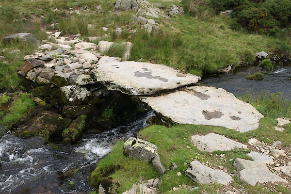
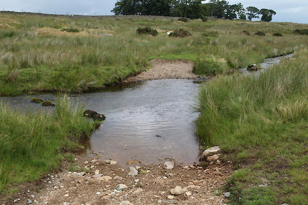
 BTH71.jpg At the slate bridge, (taken 11.8.2010)  BZK68.jpg (taken 29.9.2013) |
||||
|
|
||||
| evidence:- | old map:- OS County Series (Wmd 13 7) placename:- Cordale Beck |
|||
| source data:- | Maps, County Series maps of Great Britain, scales 6 and 25
inches to 1 mile, published by the Ordnance Survey, Southampton,
Hampshire, from about 1863 to 1948. |
|||
|
|
||||
| evidence:- | old map:- Garnett 1850s-60s H |
|||
| source data:- | Map of the English Lakes, in Cumberland, Westmorland and
Lancashire, scale about 3.5 miles to 1 inch, published by John
Garnett, Windermere, Westmorland, 1850s-60s.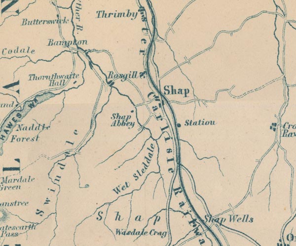 GAR2NY51.jpg wiggly line, river item:- JandMN : 82.1 Image © see bottom of page |
|||
|
|
||||
| places:- |
|
|||
|
||||
 Lakes Guides menu.