 Old Cumbria Gazetteer
 |
 |
|
| Cocklaw Fell, Longsleddale | ||
| Cocklaw Fell | ||
| civil parish:- | Longsleddale (formerly Westmorland) | |
| county:- | Cumbria | |
| locality type:- | hill | |
| locality type:- | fell | |
| coordinates:- | NY48060402 (etc) | |
| 1Km square:- | NY4804 | |
| 10Km square:- | NY40 | |
|
|
||
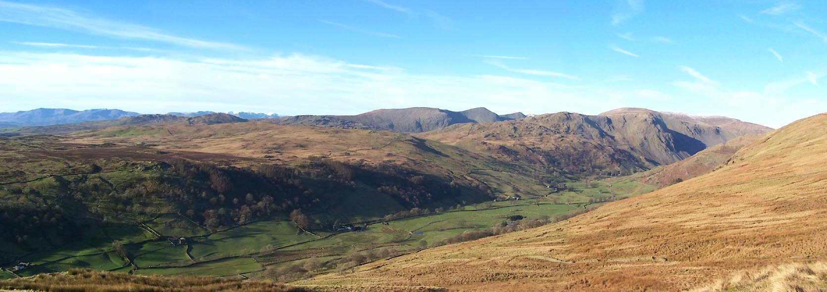 Click to enlarge BXS53.jpg (taken 29.11.2012) |
||
|
|
||
| evidence:- | old map:- OS County Series (Wmd 27 10) placename:- Cocklaw Fell |
|
| source data:- | Maps, County Series maps of Great Britain, scales 6 and 25
inches to 1 mile, published by the Ordnance Survey, Southampton,
Hampshire, from about 1863 to 1948. OS County Series (Wmd 27 11) |
|
|
|
||
 Kendal Corn Rent Act 1836 Kendal Corn Rent Act 1836 |
||
|
|
||
| evidence:- | old map:- OS 1881-82 New Series (outline edition) placename:- Cocklaw Fell |
|
| source data:- | Map, engraving, area north of Kendal, Westmorland, New Series
one inch map, outline edition, sheet 39, scale 1 inch to 1 mile,
published by the Ordnance Survey, Southampton, Hampshire,
1881-82.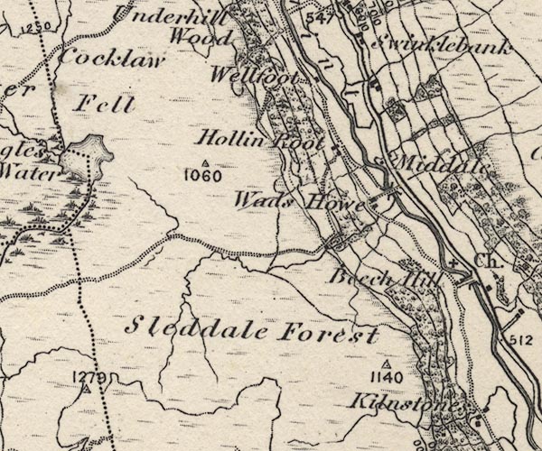 O21NY40W.jpg "Cocklaw Fell" item:- JandMN : 61 Image © see bottom of page |
|
|
|
||
| evidence:- | textbook:- EPNS Westmorland 1967 placename:- Cokelaikemore placename:- Cockley Fell |
|
| source data:- | Book, The Place Names of Westmorland, two volumes, by A H Smith,
published for the English Place Name Society by Cambridge
University Press, Cambridgeshire, 1967 |
|
|
|
||
| evidence:- | map:- OS Six Inch (1956) placename:- Cocklaw Fell |
|
| source data:- | Map series, various editions with the national grid, scale about
6 inches to 1 mile, published by the Ordnance Survey,
Southampton, Hampshire, scale 1 to 10560 from 1950s to 1960s,
then 1 to 10000 from 1960s to 2000s, superseded by print on
demand from digital data.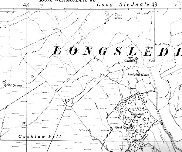 SINY4804.jpg "Cocklaw Fell" |
|
|
|
||
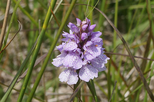 CBC47.jpg Orchid. (taken 11.7.2014) 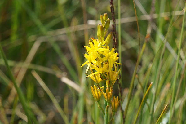 CBC48.jpg Bog asphodel, Narthecium ossifragum. (taken 11.7.2014) 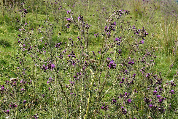 CBC52.jpg Thistle, Cirsium sp. (taken 11.7.2014) 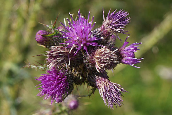 CBC53.jpg Thistle, Cirsium sp. (taken 11.7.2014) |
||
|
|
||
 Lakes Guides menu.