Old Cumbria Gazetteer
 |
 |
|
||
| Coledale Beck | ||||
| runs into:- |  Newlands Beck Newlands Beck |
|||
|
|
||||
| civil parish:- | Above Derwent (formerly Cumberland) | |||
| county:- | Cumbria | |||
| locality type:- | river | |||
| 1Km square:- | NY2222 (etc) | |||
| 10Km square:- | NY22 | |||
|
|
||||
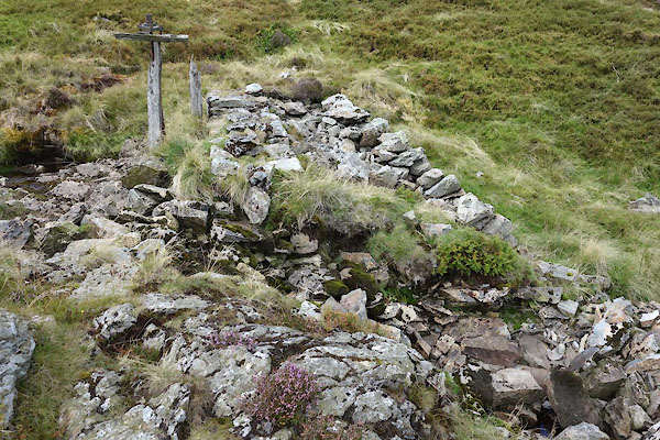
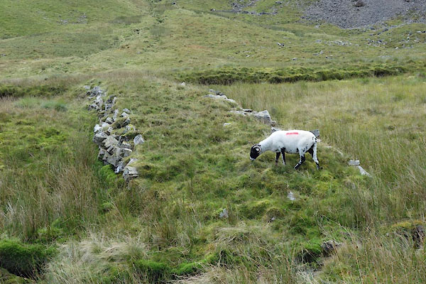
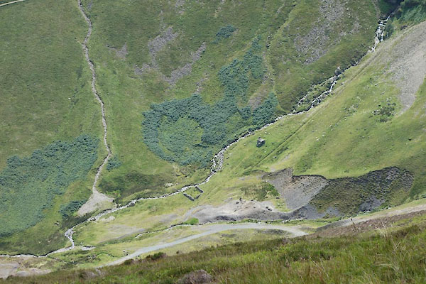 CDS04.jpg Just below Force Crag, Pudding Beck in front. (taken 17.8.2015) 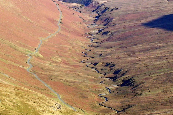 BOR94.jpg Lower reach. (taken 13.2.2008) |
||||
|
|
||||
| evidence:- | old map:- OS County Series (Cmd 63 8) placename:- Coledale Beck |
|||
| source data:- | Maps, County Series maps of Great Britain, scales 6 and 25
inches to 1 mile, published by the Ordnance Survey, Southampton,
Hampshire, from about 1863 to 1948. |
|||
|
|
||||
| evidence:- | old map:- Donald 1774 (Cmd) |
|||
| source data:- | Map, hand coloured engraving, 3x2 sheets, The County of Cumberland, scale about 1
inch to 1 mile, by Thomas Donald, engraved and published by Joseph Hodskinson, 29
Arundel Street, Strand, London, 1774.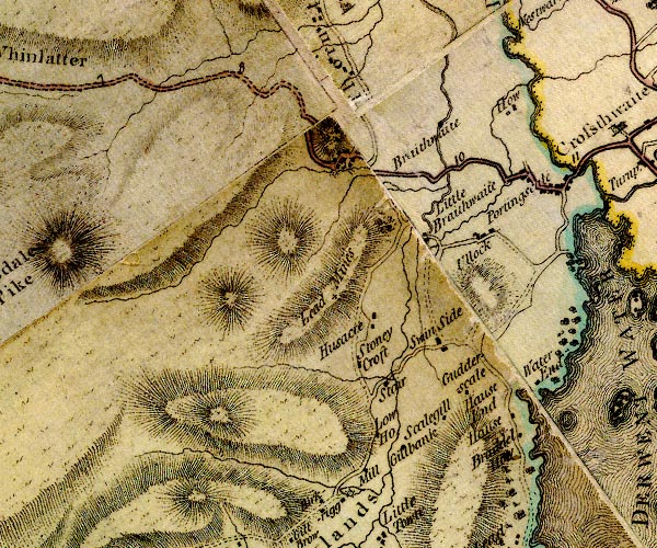 D4NY22SW.jpg single or double wiggly line; a river item:- Carlisle Library : Map 2 Image © Carlisle Library |
|||
|
|
||||
| evidence:- | old map:- West 1784 map |
|||
| source data:- | Map, hand coloured engraving, A Map of the Lakes in Cumberland,
Westmorland and Lancashire, scale about 3.5 miles to 1 inch,
engraved by Paas, 53 Holborn, London, about 1784.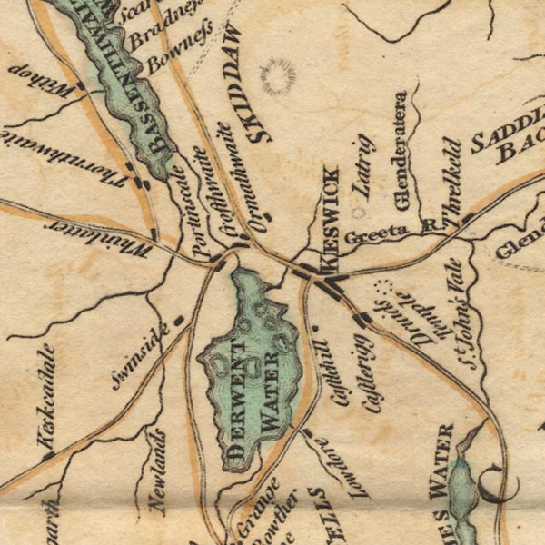 Ws02NY22.jpg item:- Armitt Library : A1221.1 Image © see bottom of page |
|||
|
|
||||
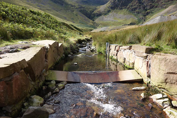
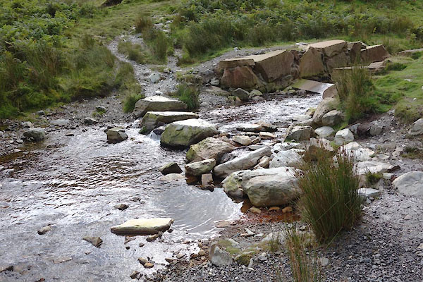
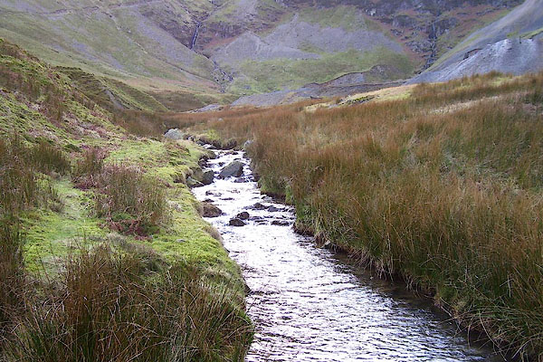 BOR93.jpg Upper reach. (taken 13.2.2008) 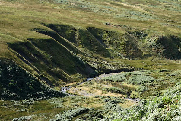 CDY89.jpg (taken 16.9.2015) 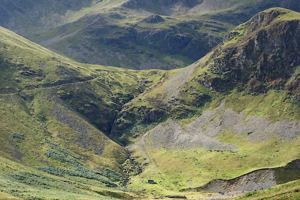 CDY92.jpg Waterfall, by Force Crag, (taken 16.9.2015) |
||||
|
|
||||
| places:- |
|
|||
|
||||
|
||||
|
||||
|
||||
|
||||
Lakes Guides menu.