 Old Cumbria Gazetteer
 |
 |
|
| Dock Tarn, Borrowdale | ||
| runs into:- |  Willygrass Gill Willygrass Gill |
|
|
|
||
| Dock Tarn | ||
| locality:- | Green Combe | |
| civil parish:- | Borrowdale (formerly Cumberland) | |
| county:- | Cumbria | |
| locality type:- | tarn | |
| coordinates:- | NY27371436 (etc) | |
| 1Km square:- | NY2714 | |
| 10Km square:- | NY21 | |
| altitude:- | 1323 feet | |
| altitude:- | 403m | |
|
|
||
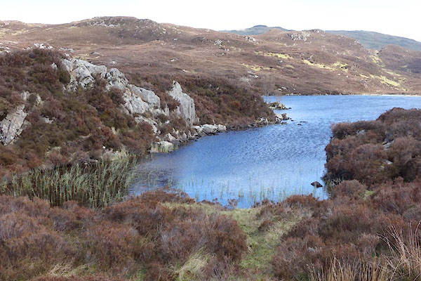 BYJ53.jpg (taken 22.5.2013) 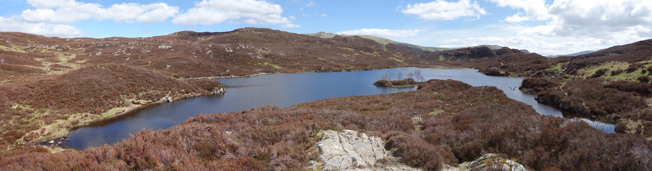 Click to enlarge BYJ52.jpg (taken 22.5.2013) |
||
|
|
||
| evidence:- | old map:- OS County Series (Cmd 70 10) placename:- Dock Tarn |
|
| source data:- | Maps, County Series maps of Great Britain, scales 6 and 25
inches to 1 mile, published by the Ordnance Survey, Southampton,
Hampshire, from about 1863 to 1948. |
|
|
|
||
| evidence:- | descriptive text:- Otley 1823 (5th edn 1834) |
|
| source data:- | Guide book, A Concise Description of the English Lakes, the
mountains in their vicinity, and the roads by which they may be
visited, with remarks on the mineralogy and geology of the
district, by Jonathan Otley, published by the author, Keswick,
Cumberland now Cumbria, by J Richardson, London, and by Arthur
Foster, Kirkby Lonsdale, Cumbria, 1823; published 1823-49,
latterly as the Descriptive Guide to the English Lakes. goto source Page 38:- "the vale.- Dock Tarn and Tarn of Leaves, one on the east side of Stonethwaite, the other between Seathwaite and Langstreth, are barely entitled to be mentioned." |
|
|
|
||
Lakes Guides menu.