Old Cumbria Gazetteer
 |
 |
|
||
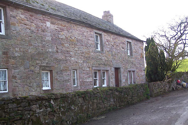
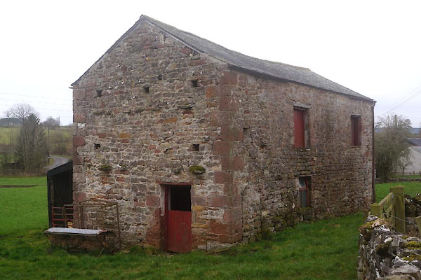
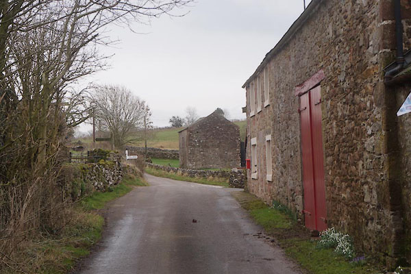
| Drybeck, Hoff | ||||
| Drybeck | ||||
| civil parish:- | Hoff (formerly Westmorland) | |||
| county:- | Cumbria | |||
| locality type:- | locality | |||
| locality type:- | buildings | |||
| coordinates:- | NY66791532 (etc) | |||
| 1Km square:- | NY6615 | |||
| 10Km square:- | NY61 | |||
|
|
||||
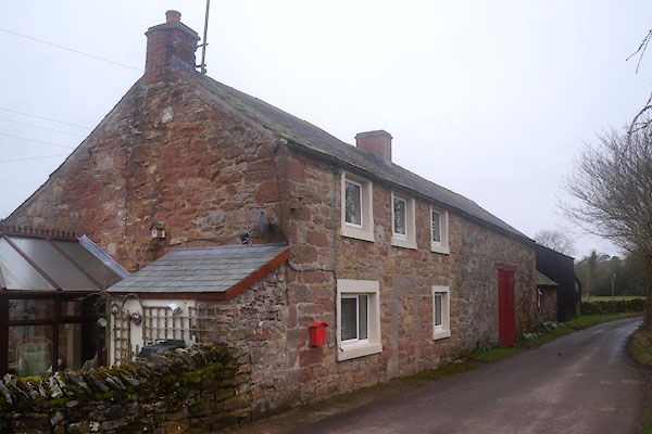
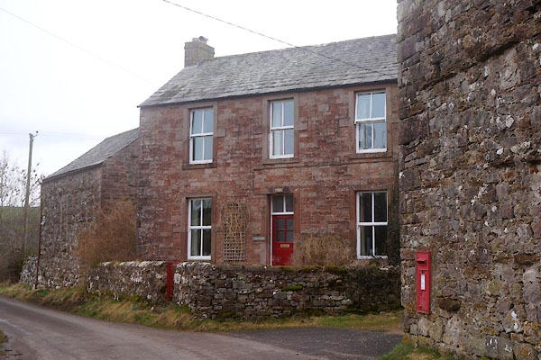
 CFW11.jpg (taken 3.3.2017) |
||||
|
|
||||
| evidence:- | old map:- Saxton 1579 placename:- Dribek |
|||
| source data:- | Map, hand coloured engraving, Westmorlandiae et Cumberlandiae Comitatus ie Westmorland
and Cumberland, scale about 5 miles to 1 inch, by Christopher Saxton, London, engraved
by Augustinus Ryther, 1576, published 1579-1645.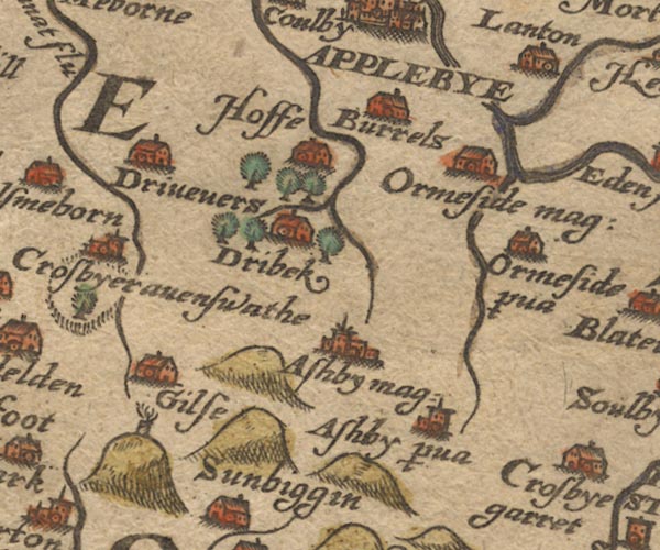 Sax9NY61.jpg Building, symbol for a hamlet, which may or may not have a nucleus. "Dribek" item:- private collection : 2 Image © see bottom of page |
|||
|
|
||||
| evidence:- | old map:- Speed 1611 (Wmd) placename:- Dribek |
|||
| source data:- | Map, hand coloured engraving, The Countie Westmorland and
Kendale the Cheif Towne, scale about 2.5 miles to 1 inch, by
John Speed, 1610, published by George Humble, Popes Head Alley,
London, 1611-12.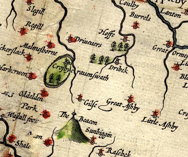 SP14NY61.jpg "Dribek" circle, tower item:- Armitt Library : 2008.14.5 Image © see bottom of page |
|||
|
|
||||
| evidence:- | old map:- Jansson 1646 placename:- Dribek |
|||
| source data:- | Map, hand coloured engraving, Cumbria and Westmoria, ie
Cumberland and Westmorland, scale about 3.5 miles to 1 inch, by
John Jansson, Amsterdam, Netherlands, 1646.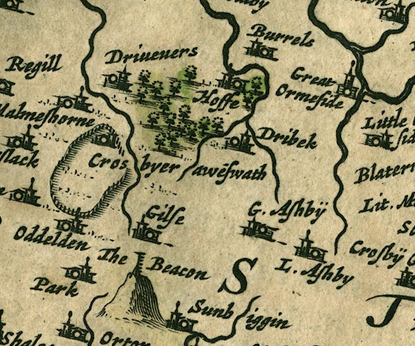 JAN3NY61.jpg "Dribek" Buildings and tower. item:- JandMN : 88 Image © see bottom of page |
|||
|
|
||||
| evidence:- | hearth tax returns:- Hearth Tax 1675 placename:- Drybecke |
|||
| source data:- | Records, hearth tax survey returns, Westmorland, 1674/75. "Drybecke" |
|||
|
|
||||
| evidence:- | hearth tax returns:- Hearth Tax 1670 placename:- Drybecke |
|||
| source data:- | Records, hearth tax returns, exchequer duplicates, Westmorland,
1670. "Drybecke" |
|||
|
|
||||
| evidence:- | old map:- Jefferys 1770 (Wmd) placename:- Drybeck |
|||
| source data:- | Map, 4 sheets, The County of Westmoreland, scale 1 inch to 1
mile, surveyed 1768, and engraved and published by Thomas
Jefferys, London, 1770.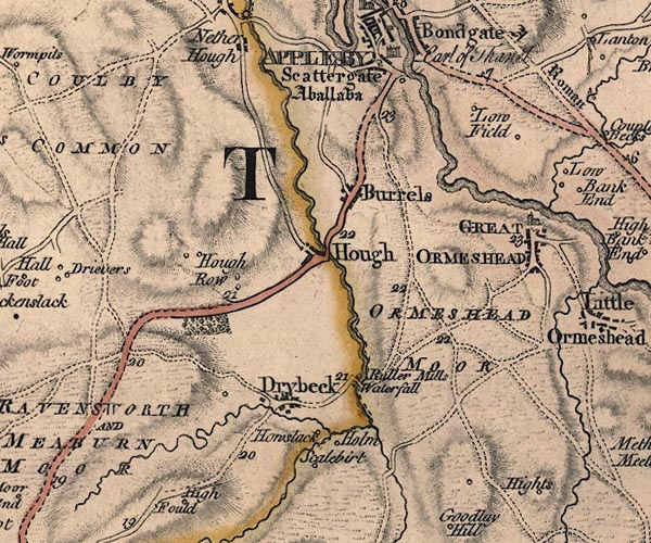 J5NY61NE.jpg "Drybeck" blocks, labelled in upright lowercase text; settlement; town? item:- National Library of Scotland : EME.s.47 Image © National Library of Scotland |
|||
|
|
||||
| evidence:- | old map:- Cary 1789 (edn 1805) placename:- Drybeck |
|||
| source data:- | Map, uncoloured engraving, Westmoreland, scale about 2.5 miles
to 1 inch, by John Cary, London, 1789; edition 1805.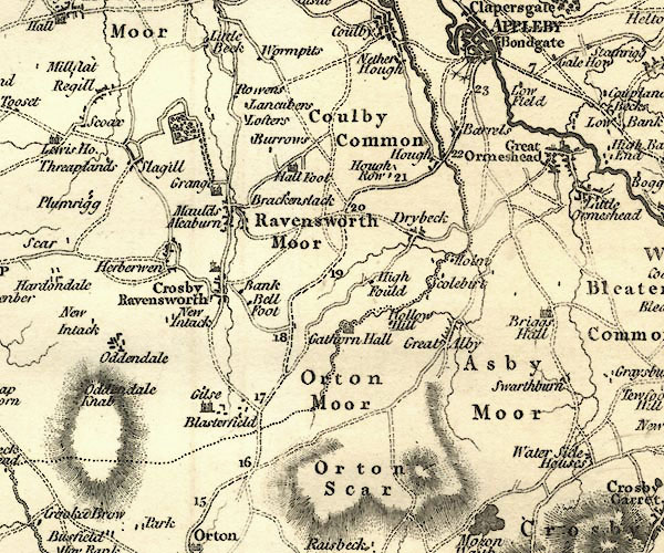 CY24NY61.jpg "Drybeck" block/s, labelled in italic lowercase; house, or hamlet item:- JandMN : 129 Image © see bottom of page |
|||
|
|
||||
| places:- |
|
|||
|
||||
|
||||
|
||||
|
||||
|
||||
|
||||
|
||||
|
||||
|
||||
|
||||
|
||||
|
||||
 Lakes Guides menu.