 Old Cumbria Gazetteer
 |
 |
|
| Eamont Bridge Junction, Dacre | ||
| Eamont Bridge Junction | ||
| site name:- | Lancaster and Carlisle Railway | |
| site name:- | Cockermouth, Keswick and Penrith Railway | |
| civil parish:- | Dacre (formerly Cumberland) (?) | |
| county:- | Cumbria | |
| locality type:- | railway junction | |
| coordinates:- | NY50752836 (about) | |
| 1Km square:- | NY5028 | |
| 10Km square:- | NY52 | |
|
|
||
| evidence:- | old map:- OS County Series (Cmd 58 8) |
|
| source data:- | Maps, County Series maps of Great Britain, scales 6 and 25
inches to 1 mile, published by the Ordnance Survey, Southampton,
Hampshire, from about 1863 to 1948.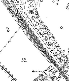 click to enlarge click to enlargeCSRY0182.jpg |
|
|
|
||
 Lakes Guides menu.