


placename:- Harraby
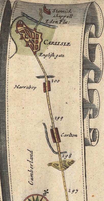
placename:- Harrabey
OG38m297.jpg
In mile 299, Cumberland. "Harrabey"
Houses each side of the road.
item:- JandMN : 21
Image © see bottom of page
placename:- Burraby
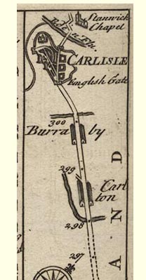
B094m297.jpg
item:- Dove Cottage : 2007.38.100
Image © see bottom of page
item:- rebellion, 1745; 1745 Rebellion; siege, Carlisle; Carlisle, siege
 goto source
Gentleman's Magazine 1746 p.234 "[Carlisle, November 1745] ... During the pretended siege ... a person of distinction was reported to be kill'd near Harraby, and bury'd with great solemnity at Wetheral; ..."
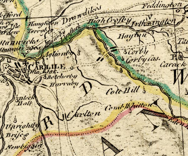
placename:- Harraby
BO18NY45.jpg
"Harraby"
blocks, on road
item:- Armitt Library : 2008.14.10
Image © see bottom of page
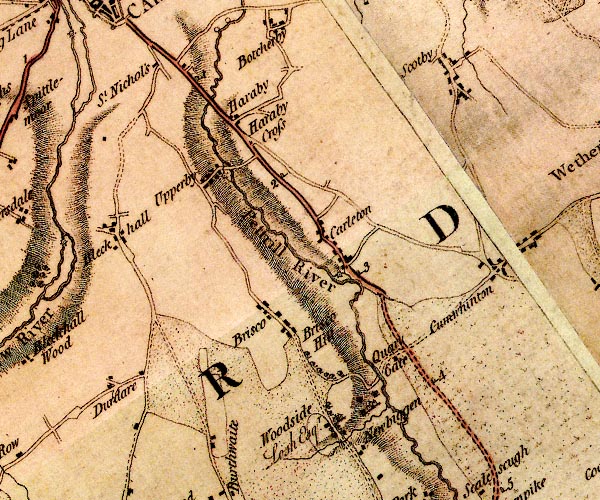
placename:- Haraby
D4NY45SW.jpg
"Haraby"
block or blocks, labelled in lowercase; a hamlet or just a house
item:- Carlisle Library : Map 2
Image © Carlisle Library
placename:- Haraby
 click to enlarge
GRA1Cd.jpg
"Haraby"
blocks, italic lowercase text, village, hamlet, locality
item:- Hampshire Museums : FA2000.62.2
Image © see bottom of page
placename:- Haraby
 click to enlarge
Lw18.jpg
"Haraby"
village or other place
item:- private collection : 18.18
Image © see bottom of page
placename:- Haraby
 click to enlarge
Lw21.jpg
"Haraby"
village or other place
item:- private collection : 18.21
Image © see bottom of page
placename:- Haraby
 click to enlarge
WL13.jpg
"Haraby"
village, hamlet, house, ...
item:- Dove Cottage : 2009.81.10
Image © see bottom of page
placename:- Haraby
 click to enlarge
HA14.jpg
"Haraby"
circle, italic lowercase text; settlement
item:- JandMN : 91
Image © see bottom of page
placename:- Haraby
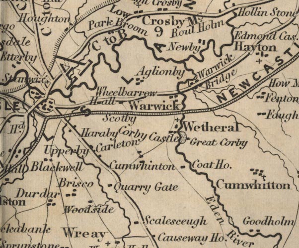
FD02NY45.jpg
"Haraby"
item:- JandMN : 100.1
Image © see bottom of page
 |
NY42095460 Carlisle East Community Fire Station (Carlisle) |
 |
NY41785325 Dicky Wood (Carlisle) |
 |
NY41435474 Harraby Engine Shed (Carlisle) |
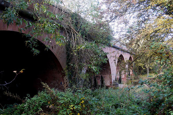 |
NY41335469 Harraby Bridge (Carlisle) |
 |
NY41745417 Harraby Cross (Carlisle) once |
 |
NY41285445 Harraby Green (Carlisle) |
 |
NY41155473 Harraby Hill Workhouse (Carlisle) |
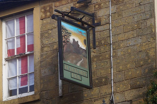 |
NY41615434 Harraby Inn (Carlisle) |
 |
NY41365440 Harraby Mill (Carlisle) |
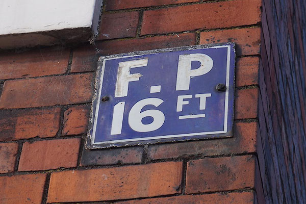 |
NY41345456 hydrant plate, Harraby (Carlisle) |
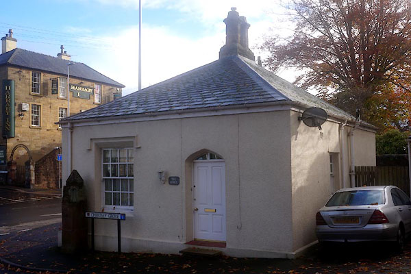 |
NY41585434 Lodge, The (Carlisle) L |
 |
NY41075490 London Road Terrace (Carlisle) |
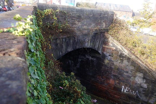 |
NY41045495 London Road Tunnel (Carlisle) |
 |
NY41285486 Mains (Carlisle) |
 |
NY41325491 Mains, The (Carlisle) |
 |
NY41775372 Petteril House (Carlisle) |
 |
NY40875510 Harraby Police Station (Carlisle) |
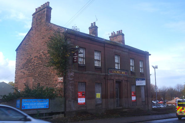 |
NY40995499 Railway Inn, The (Carlisle) L |
 |
NY41135464 school, Carlisle (3) (Carlisle) |
 |
NY41865399 Shield House (Carlisle) |
 |
NY4254 St Elisabeth's Church (Carlisle) |
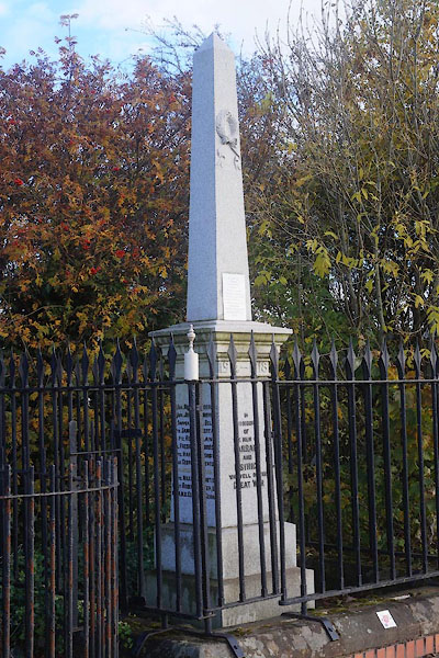 |
NY41375466 Harraby War Memorial (Carlisle) |
 |
NY41155495 Harraby Cutting (Carlisle) |
 |
NY41115481 Gallow Hill (Carlisle) |
