 Old Cumbria Gazetteer
 |
 |
|
| High Snab Bank, Above Derwent | ||
| High Snab Bank | ||
| locality:- | Newlands | |
| civil parish:- | Above Derwent (formerly Cumberland) | |
| county:- | Cumbria | |
| locality type:- | hill | |
| coordinates:- | NY217186 | |
| 1Km square:- | NY2118 | |
| 10Km square:- | NY21 | |
|
|
||
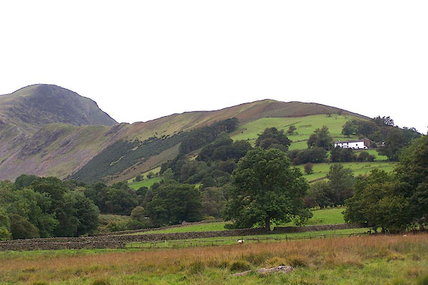 BMR78.jpg (taken 22.9.2006) 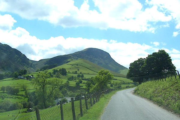 BJQ03.jpg The NW end of High Snab Bank with Robinson behind. (taken 10.6.2005) |
||
|
|
||
| evidence:- | old map:- OS County Series (Cmd 69 4) placename:- High Snab Bank placename:- Snab Bank, High |
|
| source data:- | Maps, County Series maps of Great Britain, scales 6 and 25
inches to 1 mile, published by the Ordnance Survey, Southampton,
Hampshire, from about 1863 to 1948. |
|
|
|
||
| evidence:- | probably descriptive text:- West 1778 (11th edn 1821) |
|
| source data:- | Guide book, A Guide to the Lakes, by Thomas West, published by
William Pennington, Kendal, Cumbria once Westmorland, and in
London, 1778 to 1821. goto source goto sourcePage 132:- "... At the upper end of the cultivated part of the vale [Newlands Valley], a green pyramidal hill, divided into waving inclosures, looks down the vale upon Keswick, &c." |
|
|
|
||
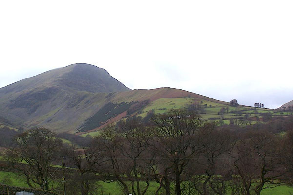 BOK51.jpg (taken 19.1.2008) |
||
|
|
||
Lakes Guides menu.