 Old Cumbria Gazetteer
 |
 |
|
| Hollins, Burneside | ||
| Hollins | ||
| Hollins Farm | ||
| Street:- | Hollins Lane | |
| locality:- | Burneside | |
| civil parish:- | Strickland Ketel (formerly Westmorland) | |
| county:- | Cumbria | |
| locality type:- | buildings | |
| locality type:- | inn (once) | |
| coordinates:- | SD50259532 | |
| 1Km square:- | SD5095 | |
| 10Km square:- | SD59 | |
|
|
||
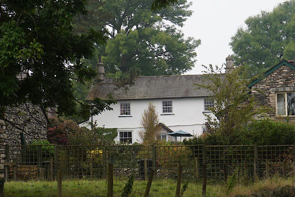 CBQ20.jpg (taken 12.9.2014) |
||
|
|
||
| evidence:- | old map:- OS County Series (Wmd 33 15) placename:- Hollins |
|
| source data:- | Maps, County Series maps of Great Britain, scales 6 and 25
inches to 1 mile, published by the Ordnance Survey, Southampton,
Hampshire, from about 1863 to 1948. |
|
|
|
||
| evidence:- | database:- Listed Buildings 2010 placename:- Hollins Farm |
|
| source data:- | courtesy of English Heritage "HOLLINS FARMHOUSE AND ATTACHED OUTBUILDINGS / / HOLLINS LANE / STRICKLAND KETEL / SOUTH LAKELAND / CUMBRIA / II / 76424 / SD5025195300" |
|
|
|
||
| hearsay:- |
Built 1687; cruck frame in west wing. |
|
|
|
||
| hearsay:- |
This is thought to have once been an inn, The Holly Bush. Its innsign was used to
make an oval table by new owners, the Prestons, in the 19th century. A young lad from
Bowston, H Clarke, said he once looked under the table and saw the holly bush painted
below. This table was taken off to Orton by the Prestons when they moved. |
|
| H Clarke remembers being at jollyboyings here at Easter. When the fool entered he began with:- |
||
| "Stir up the fire and strike a light, And see this noble act tonight." |
||
| Palmer 1945 |
||
|
|
||
 Lakes Guides menu.