Old Cumbria Gazetteer
 |
 |
|
||
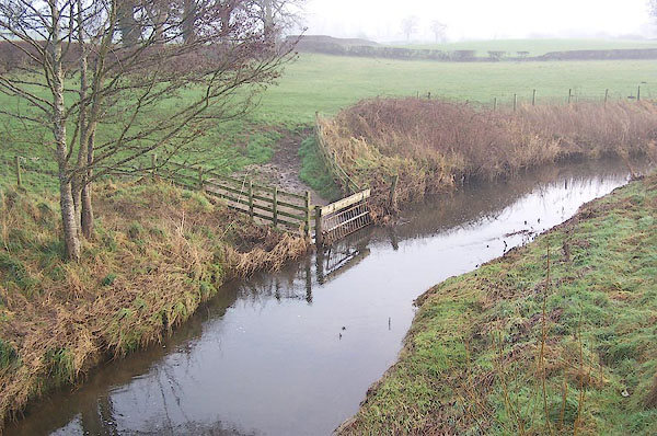
| Keer, River | ||||
| runs into:- |  Morecambe Bay Morecambe Bay |
|||
|
|
||||
| civil parish:- | Hutton (formerly Cumberland) | |||
| civil parish:- | Burton-in-Kendal (formerly Westmorland) | |||
| county:- | Cumbria | |||
| locality type:- | river | |||
| locality type:- | boundary | |||
| locality type:- | county boundary | |||
| 1Km square:- | SD5675 (etc) | |||
| 10Km square:- | SD57 | |||
| county:- | Lancashire | |||
| current boundary | ||||
| locality:- | Cumbria boundary | |||
| old boundary | ||||
| locality:- | Westmorland boundary | |||
| locality:- | Lancashire boundary | |||
|
|
||||
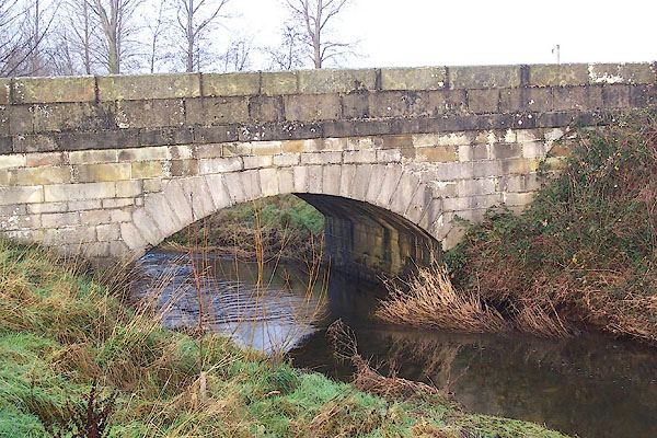
 BNC49.jpg At High Keer Bridge. (taken 20.12.2006) |
||||
|
|
||||
| evidence:- | old map:- OS County Series (Wmd 47 14) placename:- Keer, River |
|||
| source data:- | Maps, County Series maps of Great Britain, scales 6 and 25
inches to 1 mile, published by the Ordnance Survey, Southampton,
Hampshire, from about 1863 to 1948. |
|||
|
|
||||
| evidence:- | old map:- Ogilby 1675 (plate 38) |
|||
| source data:- | Road strip map, hand coloured engraving, continuation of the
Road from London to Carlisle, scale about 1 inch to 1 mile, by
John Ogilby, London, 1675.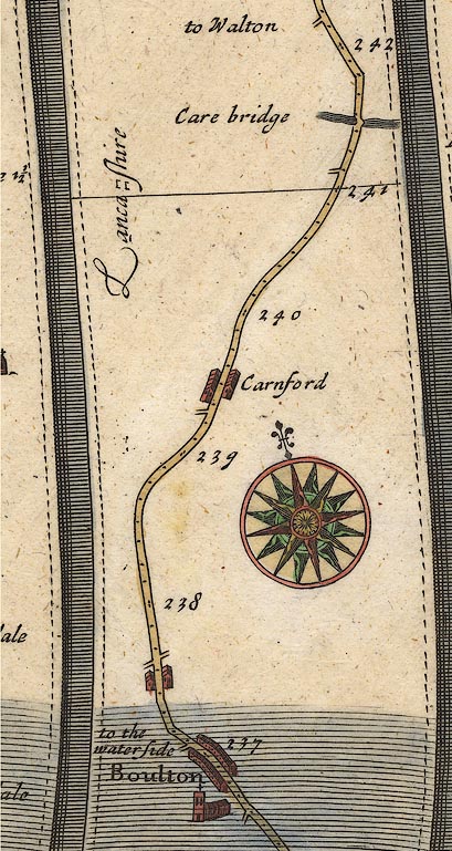 OG38m237.jpg In mile 241, Lancashire. River crossed by the road at:- "Care bridge" which is High Keer Bridge? item:- JandMN : 21 Image © see bottom of page |
|||
|
|
||||
| evidence:- | old map:- West 1784 map |
|||
| source data:- | Map, hand coloured engraving, A Map of the Lakes in Cumberland,
Westmorland and Lancashire, scale about 3.5 miles to 1 inch,
engraved by Paas, 53 Holborn, London, about 1784.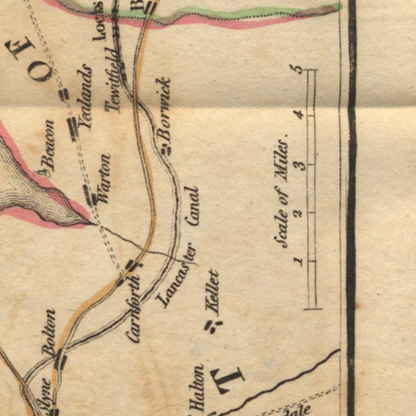 Ws02SD56.jpg item:- Armitt Library : A1221.1 Image © see bottom of page |
|||
|
|
||||
| evidence:- | old map:- Otley 1818 |
|||
| source data:- | Map, uncoloured engraving, The District of the Lakes,
Cumberland, Westmorland, and Lancashire, scale about 4 miles to
1 inch, by Jonathan Otley, 1818, engraved by J and G Menzies,
Edinburgh, Scotland, published by Jonathan Otley, Keswick,
Cumberland, et al, 1833.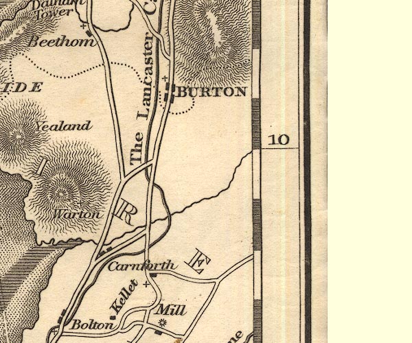 OT02SD57.jpg item:- JandMN : 48.1 Image © see bottom of page |
|||
|
|
||||
| evidence:- | old map:- Ford 1839 map placename:- Keer River |
|||
| source data:- | Map, uncoloured engraving, Map of the Lake District of
Cumberland, Westmoreland and Lancashire, scale about 3.5 miles
to 1 inch, published by Charles Thurnam, Carlisle, and by R
Groombridge, 5 Paternoster Row, London, 3rd edn 1843.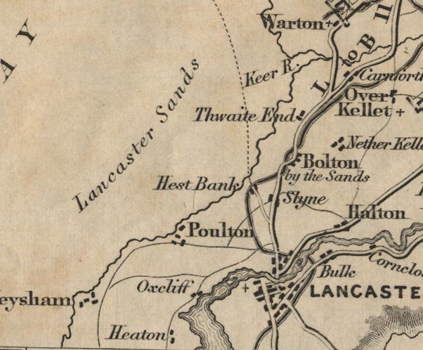 FD02SD46.jpg "Keer R." item:- JandMN : 100.1 Image © see bottom of page |
|||
|
|
||||
| places:- |
|
|||
Lakes Guides menu.