 Old Cumbria Gazetteer
 |
 |
|
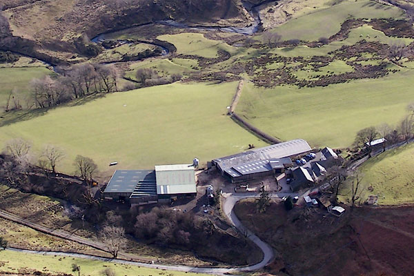
| Keskadale Farm, Above Derwent | ||
| Keskadale Farm | ||
| civil parish:- | Above Derwent (formerly Cumberland) | |
| county:- | Cumbria | |
| locality type:- | buildings | |
| coordinates:- | NY21051928 | |
| 1Km square:- | NY2119 | |
| 10Km square:- | NY21 | |
|
|
||
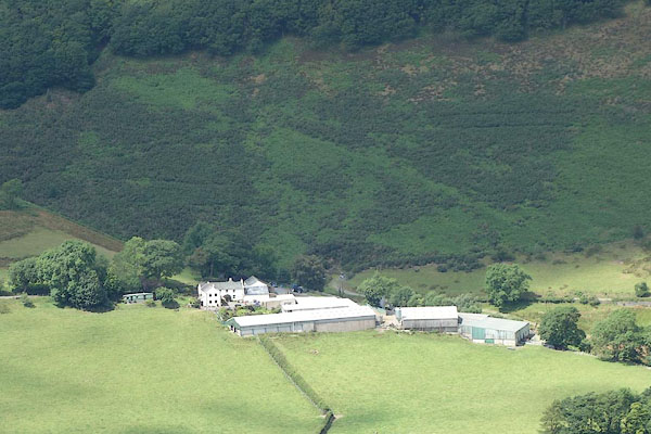 CBA94.jpg (taken 9.7.2014) 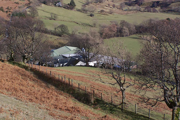 BSD31.jpg (taken 10.2.2010) |
||
|
|
||
| evidence:- | old map:- OS County Series (Cmd 63 16) placename:- Keskadale |
|
| source data:- | Maps, County Series maps of Great Britain, scales 6 and 25
inches to 1 mile, published by the Ordnance Survey, Southampton,
Hampshire, from about 1863 to 1948. |
|
|
|
||
| evidence:- | old map:- Donald 1774 (Cmd) placename:- Keskadale |
|
| source data:- | Map, hand coloured engraving, 3x2 sheets, The County of Cumberland, scale about 1
inch to 1 mile, by Thomas Donald, engraved and published by Joseph Hodskinson, 29
Arundel Street, Strand, London, 1774.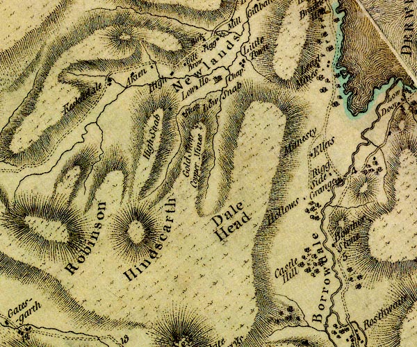 D4NY21NW.jpg "Keskadale" block or blocks, labelled in lowercase; a hamlet or just a house item:- Carlisle Library : Map 2 Image © Carlisle Library |
|
|
|
||
| evidence:- | descriptive text:- West 1778 (11th edn 1821) |
|
| source data:- | Guide book, A Guide to the Lakes, by Thomas West, published by
William Pennington, Kendal, Cumbria once Westmorland, and in
London, 1778 to 1821. goto source goto sourcePage 132:- "... Above Keskadale, the last houses in Newland, no traces of human industry appear. ..." |
|
|
|
||
| evidence:- | probably (there's not much else there) old map:- West 1784 map placename:- Keskcadale |
|
| source data:- | Map, hand coloured engraving, A Map of the Lakes in Cumberland,
Westmorland and Lancashire, scale about 3.5 miles to 1 inch,
engraved by Paas, 53 Holborn, London, about 1784.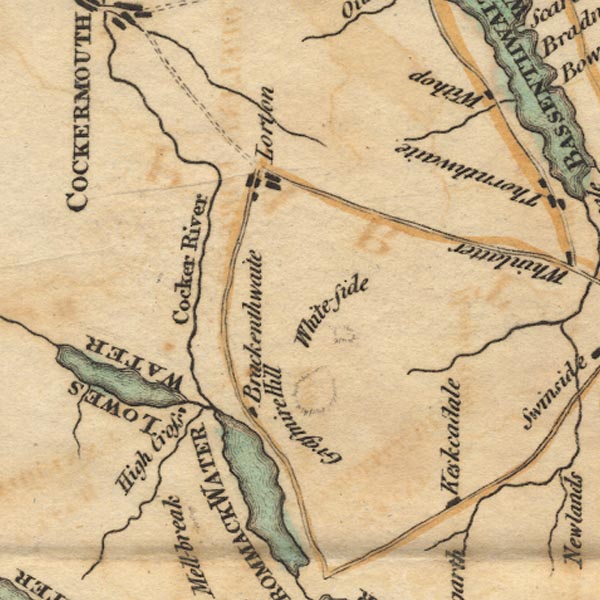 Ws02NY12.jpg item:- Armitt Library : A1221.1 Image © see bottom of page |
|
|
|
||
 BSD32.jpg (taken 10.2.2010) |
||
|
|
||
Lakes Guides menu.