 Old Cumbria Gazetteer
 |
 |
|
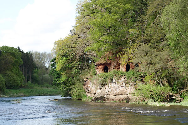
| Lacy's Caves, Glassonby | ||
| Lacy's Caves | ||
| civil parish:- | Glassonby (formerly Cumberland) | |
| county:- | Cumbria | |
| locality type:- | cave | |
| coordinates:- | NY56383830 | |
| 1Km square:- | NY5638 | |
| 10Km square:- | NY53 | |
|
|
||
 BQN14.jpg (taken 8.5.2009) 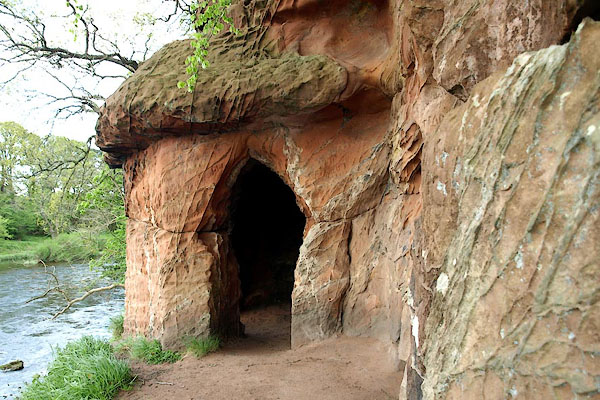 BQN15.jpg (taken 8.5.2009) |
||
|
|
||
| evidence:- | old map:- OS County Series (Cmd 40 14) placename:- Lacy's Caves |
|
| source data:- | Maps, County Series maps of Great Britain, scales 6 and 25
inches to 1 mile, published by the Ordnance Survey, Southampton,
Hampshire, from about 1863 to 1948. |
|
|
|
||
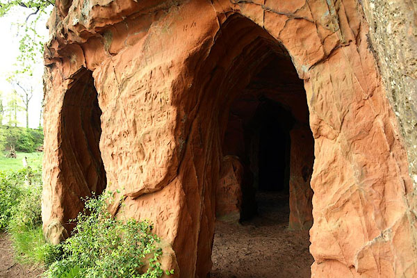 BQN16.jpg (taken 8.5.2009) 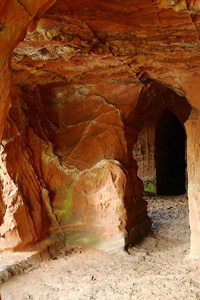 BQN17.jpg (taken 8.5.2009) 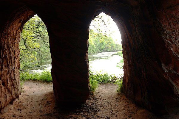 BQN18.jpg (taken 8.5.2009) 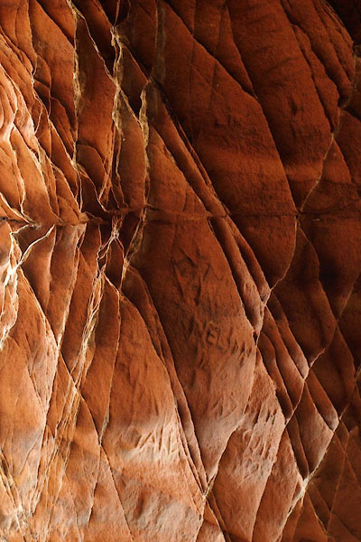 BQN19.jpg (taken 8.5.2009) 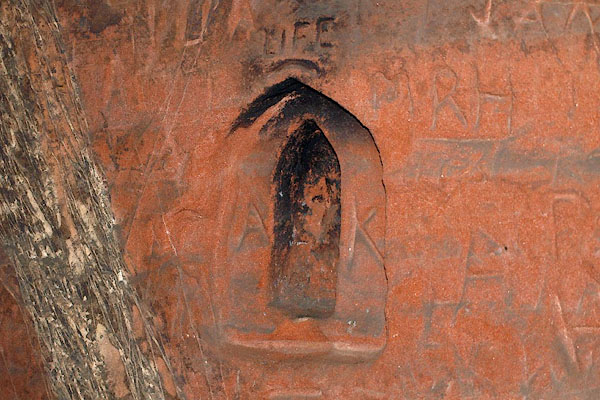 BQN20.jpg Almost an aumbrey ... and people can't resist carving initials in sandstone. (taken 8.5.2009) 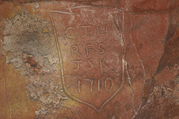 BQN21.jpg Initials:- "CJH / RFS / JSK / 1710" vandalism then as now? (taken 8.5.2009) 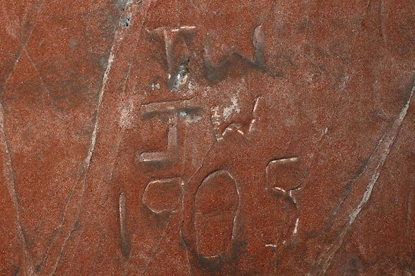 BQN22.jpg Initials:- "TW / JW / 1905" vandalism then as now? (taken 8.5.2009) |
||
|
|
||
| hearsay:- |
About the 1790s, Colonel Lacy of Salkeld Hall had a batman who deserted from the army,
and came to his colonel for refuge. He was not sent back to the army, but was set
to cut these caves, in the bank of the river a mile north of Little Salkeld. |
|
| So how do initials dated 1710 get there? |
||
|
|
||
 Lakes Guides menu.