 Old Cumbria Gazetteer
 |
 |
|
| Lambrigg | ||
| civil parish:- | Lambrigg (formerly Westmorland) | |
| county:- | Cumbria | |
| locality type:- | locality | |
| coordinates:- | SD58349534 (etc) | |
| 1Km square:- | SD5895 | |
| 10Km square:- | SD59 | |
|
|
||
| evidence:- | old map:- Saxton 1579 placename:- Lanridge |
|
| source data:- | Map, hand coloured engraving, Westmorlandiae et Cumberlandiae Comitatus ie Westmorland
and Cumberland, scale about 5 miles to 1 inch, by Christopher Saxton, London, engraved
by Augustinus Ryther, 1576, published 1579-1645.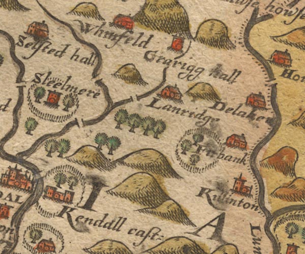 Sax9SD59.jpg Building, symbol for a hamlet, which may or may not have a nucleus. "Lanridge" item:- private collection : 2 Image © see bottom of page |
|
|
|
||
| evidence:- | old map:- Speed 1611 (Wmd) placename:- Lanridge |
|
| source data:- | Map, hand coloured engraving, The Countie Westmorland and
Kendale the Cheif Towne, scale about 2.5 miles to 1 inch, by
John Speed, 1610, published by George Humble, Popes Head Alley,
London, 1611-12.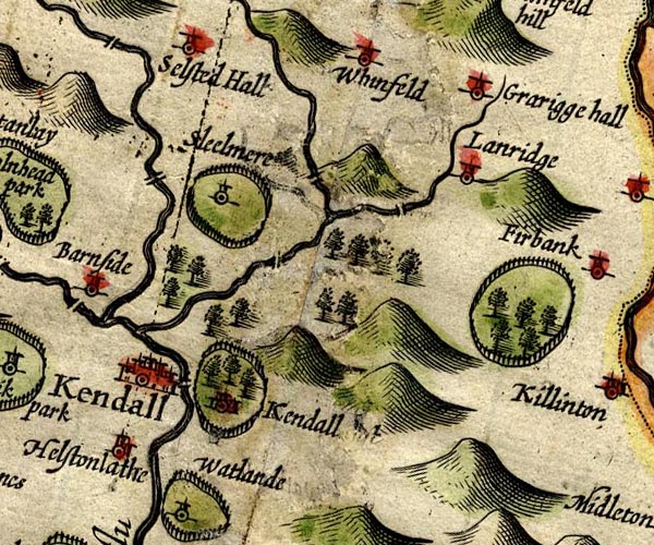 SP14SD59.jpg "Lanridge" circle, tower item:- Armitt Library : 2008.14.5 Image © see bottom of page |
|
|
|
||
| evidence:- | old map:- Jansson 1646 placename:- Lanridge |
|
| source data:- | Map, hand coloured engraving, Cumbria and Westmoria, ie
Cumberland and Westmorland, scale about 3.5 miles to 1 inch, by
John Jansson, Amsterdam, Netherlands, 1646.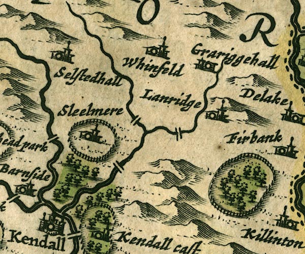 JAN3SD59.jpg "Lanridge" Buildings and tower. item:- JandMN : 88 Image © see bottom of page |
|
|
|
||
| evidence:- | old map:- Bowen and Kitchin 1760 placename:- Lamridge |
|
| source data:- | Map, hand coloured engraving, A New Map of the Counties of
Cumberland and Westmoreland Divided into their Respective Wards,
scale about 4 miles to 1 inch, by Emanuel Bowen and Thomas
Kitchin et al, published by T Bowles, Robert Sayer, and John
Bowles, London, 1760.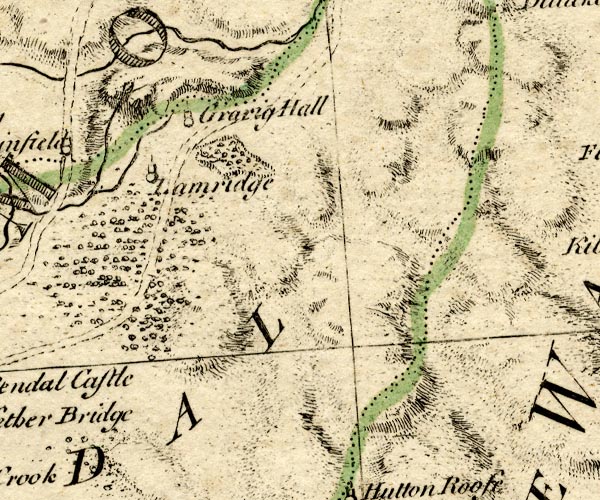 BO18SD59.jpg "Lamridge" circle, tower item:- Armitt Library : 2008.14.10 Image © see bottom of page |
|
|
|
||
| evidence:- | old map:- Jefferys 1770 (Wmd) placename:- Lambrigg |
|
| source data:- | Map, 4 sheets, The County of Westmoreland, scale 1 inch to 1
mile, surveyed 1768, and engraved and published by Thomas
Jefferys, London, 1770.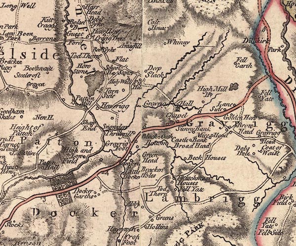 J5SD59NE.jpg "Lambrigg" area item:- National Library of Scotland : EME.s.47 Image © National Library of Scotland |
|
|
|
||
| evidence:- | old map:- Cooper 1808 placename:- Lambrigg |
|
| source data:- | Map, hand coloured engraving, Westmoreland ie Westmorland, scale
about 9 miles to 1 inch, by H Cooper, 1808, published by R
Phillips, Bridge Street, Blackfriars, London, 1808. click to enlarge click to enlargeCOP4.jpg "Lambrigg" circle; village or hamlet item:- Dove Cottage : 2007.38.53 Image © see bottom of page |
|
|
|
||
 Lakes Guides menu.