 Old Cumbria Gazetteer
 |
 |
|
| Lamplugh Fell, Lamplugh | ||
| Lamplugh Fell | ||
| civil parish:- | Lamplugh (formerly Cumberland) | |
| county:- | Cumbria | |
| locality type:- | hill | |
| locality type:- | fell | |
| coordinates:- | NY10091913 (etc) | |
| 1Km square:- | NY1019 | |
| 10Km square:- | NY11 | |
|
|
||
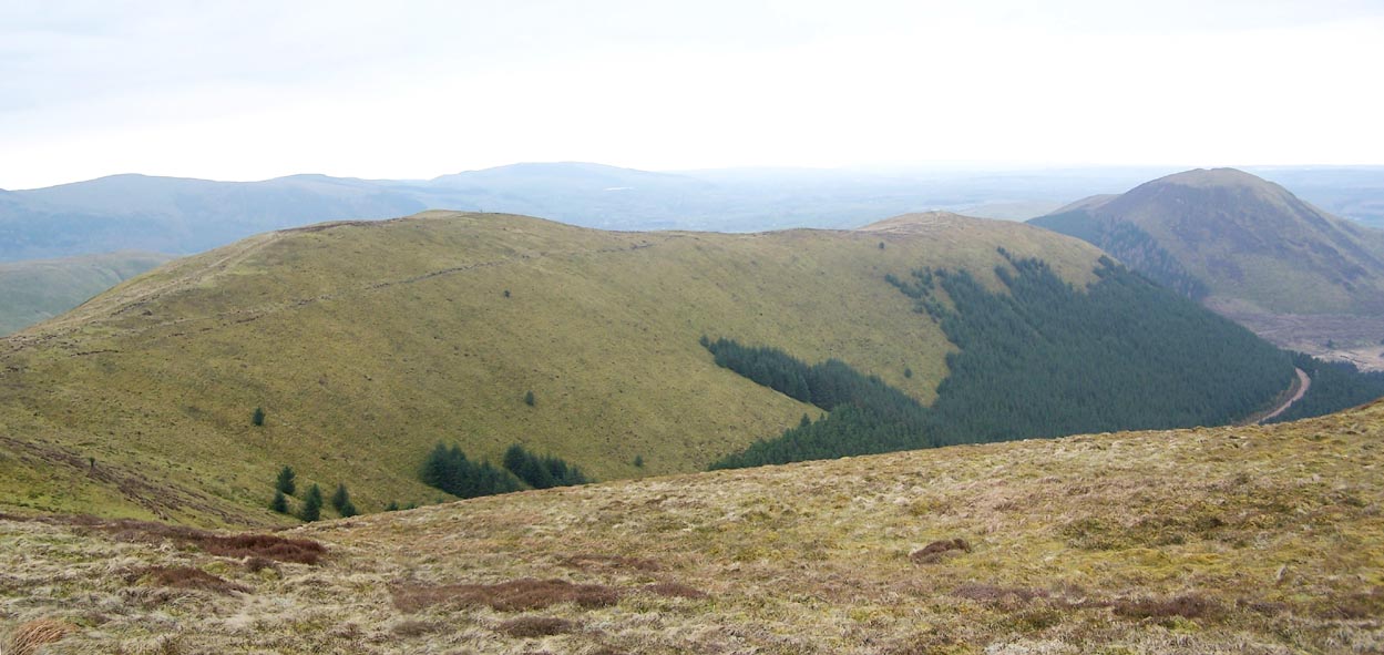 Click to enlarge BQJ23.jpg High Pen and Low Pen, Lamplugh Fell. (taken 1.4.2009) |
||
|
|
||
| evidence:- | old map:- OS County Series (Cmd 62 15) placename:- Lamplugh Fell |
|
| source data:- | Maps, County Series maps of Great Britain, scales 6 and 25
inches to 1 mile, published by the Ordnance Survey, Southampton,
Hampshire, from about 1863 to 1948. |
|
|
|
||
| evidence:- | old map:- Ogilby 1675 (plate 96) |
|
| source data:- | Road strip map, hand coloured engraving, the Road from Kendal to
Cockermouth, and the Road from Egremond to Carlisle, scale about
1 inch to 1 mile, by John Ogilby, London, 1675.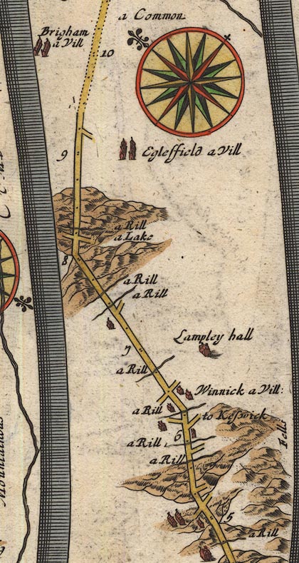 OG96Bm05.jpg In mile 5, Cumberland. "Fells" hills to the right of the road. item:- JandMN : 22 Image © see bottom of page |
|
|
|
||
| hearsay:- |
It is said that once:- |
|
| "A squirrel could hop from tree to tree, / From Lamplugh Fells to Moresby." |
||
|
|
||
 Lakes Guides menu.