 Old Cumbria Gazetteer
 |
 |
|
| Little Blencow, Greystoke | ||
| Little Blencow | ||
| locality:- | Blencow | |
| civil parish:- | Greystoke (formerly Cumberland) | |
| county:- | Cumbria | |
| locality type:- | buildings | |
| locality type:- | locality | |
| coordinates:- | NY45333278 (etc) | |
| 1Km square:- | NY4532 | |
| 10Km square:- | NY43 | |
| SummaryText:- | Little Blencow is the larger of the pair of settlements. | |
|
|
||
| evidence:- | probably old print:- Clarke 1787 placename:- Blencow Villa |
|
| source data:- | circle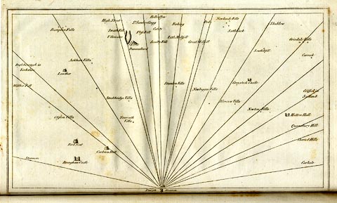 click to enlarge click to enlargeCL18.jpg "Blencow Villa" item:- Armitt Library : A6615.12 Image © see bottom of page |
|
|
|
||
| evidence:- | old map:- Otley 1818 placename:- Blencow |
|
| source data:- | Map, uncoloured engraving, The District of the Lakes,
Cumberland, Westmorland, and Lancashire, scale about 4 miles to
1 inch, by Jonathan Otley, 1818, engraved by J and G Menzies,
Edinburgh, Scotland, published by Jonathan Otley, Keswick,
Cumberland, et al, 1833.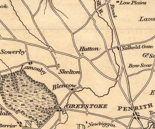 OT02NY43.jpg item:- JandMN : 48.1 Image © see bottom of page |
|
|
|
||
| evidence:- | probably old map:- Ford 1839 map placename:- Blencow |
|
| source data:- | Map, uncoloured engraving, Map of the Lake District of
Cumberland, Westmoreland and Lancashire, scale about 3.5 miles
to 1 inch, published by Charles Thurnam, Carlisle, and by R
Groombridge, 5 Paternoster Row, London, 3rd edn 1843.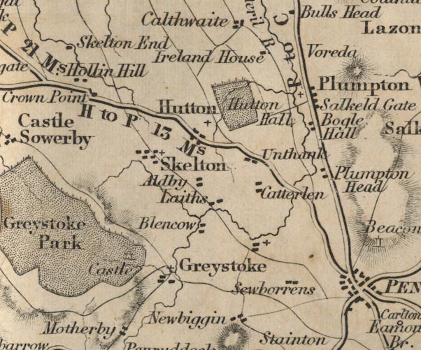 FD02NY43.jpg "Blencow" item:- JandMN : 100.1 Image © see bottom of page |
|
|
|
||
| evidence:- | old map:- Garnett 1850s-60s H placename:- Blencow |
|
| source data:- | Map of the English Lakes, in Cumberland, Westmorland and
Lancashire, scale about 3.5 miles to 1 inch, published by John
Garnett, Windermere, Westmorland, 1850s-60s.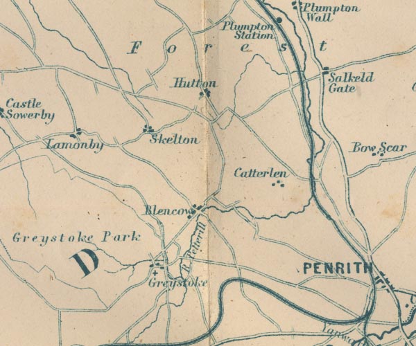 GAR2NY43.jpg "Blencow" blocks, settlement item:- JandMN : 82.1 Image © see bottom of page |
|
|
|
||
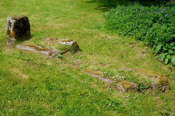 CDM48.jpg What? by the River Petteril, just over the bridge from the village. (taken 3.7.2015) |
||
| The arrangement suggests water troughs? |
||
|
|
||
 Lakes Guides menu.