 Old Cumbria Gazetteer
 |
 |
|
| Low Borrow Bridge, Tebay | ||
| Low Borrow Bridge | ||
| site name:- | Borrow Beck | |
| locality:- | Low Borrowbridge | |
| civil parish:- | Tebay (formerly Westmorland) | |
| civil parish:- | Grayrigg (formerly Westmorland) | |
| county:- | Cumbria | |
| locality type:- | bridge | |
| coordinates:- | NY60930144 | |
| 1Km square:- | NY6001 | |
| 10Km square:- | NY60 | |
|
|
||
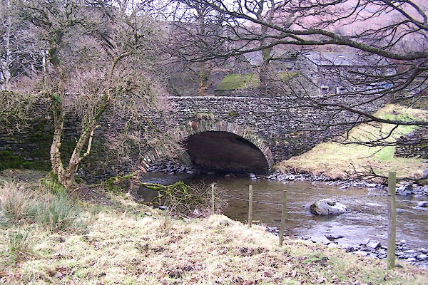 BLL26.jpg (taken 9.12.2005) |
||
|
|
||
| evidence:- | old map:- OS County Series (Wmd 28 16) placename:- Low Barrow Bridge placename:- Barrow Bridge, Low |
|
| source data:- | Maps, County Series maps of Great Britain, scales 6 and 25
inches to 1 mile, published by the Ordnance Survey, Southampton,
Hampshire, from about 1863 to 1948. |
|
|
|
||
| evidence:- | old map:- Saxton 1579 |
|
| source data:- | Map, hand coloured engraving, Westmorlandiae et Cumberlandiae Comitatus ie Westmorland
and Cumberland, scale about 5 miles to 1 inch, by Christopher Saxton, London, engraved
by Augustinus Ryther, 1576, published 1579-1645.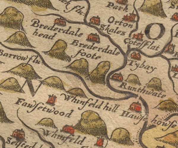 Sax9NY50.jpg N of Hawse howse. item:- private collection : 2 Image © see bottom of page |
|
|
|
||
| evidence:- | old map:- Morden 1695 (Wmd) |
|
| source data:- | Map, hand coloured engraving, Westmorland, scale about 2.5 miles to 1 inch, by Robert
Morden, published by Abel Swale, the Unicorn, St Paul's Churchyard, Awnsham, and John
Churchill, the Black Swan, Paternoster Row, London, 1695.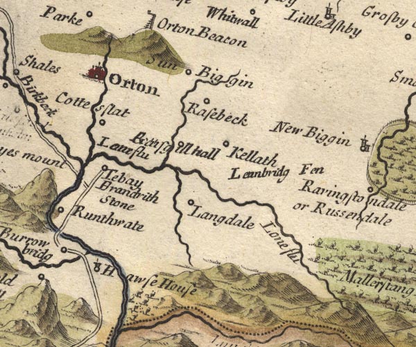 MD10NY60.jpg Road crossing and interrupting the Borrow Beck. item:- JandMN : 24 Image © see bottom of page |
|
|
|
||
| evidence:- | old map:- Badeslade 1742 placename:- Burrow Bridge |
|
| source data:- | Map, uncoloured engraving, A Map of Westmorland North from
London, scale about 10 miles to 1 inch, with descriptive text,
by Thomas Badeslade, London, engraved and published by William
Henry Toms, Union Court, Holborn, London, 1742. click to enlarge click to enlargeBD12.jpg "Burrow Bridge" double line across a stream item:- Dove Cottage : 2007.38.62 Image © see bottom of page |
|
|
|
||
| evidence:- | old map:- Bowen and Kitchin 1760 placename:- Barrow Bridge |
|
| source data:- | Map, hand coloured engraving, A New Map of the Counties of
Cumberland and Westmoreland Divided into their Respective Wards,
scale about 4 miles to 1 inch, by Emanuel Bowen and Thomas
Kitchin et al, published by T Bowles, Robert Sayer, and John
Bowles, London, 1760.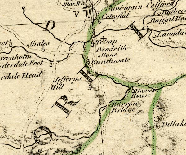 BO18NY50.jpg "Barrow Bridge" road across the Borrow Beck item:- Armitt Library : 2008.14.10 Image © see bottom of page |
|
|
|
||
| evidence:- | old map:- Jefferys 1770 (Wmd) placename:- Low Burrow Bridge placename:- Burrow Bridge, Low |
|
| source data:- | Map, 4 sheets, The County of Westmoreland, scale 1 inch to 1
mile, surveyed 1768, and engraved and published by Thomas
Jefferys, London, 1770.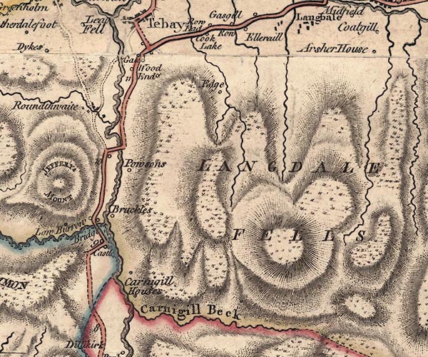 J5NY60SW.jpg "Low Burrow Bridge" double line, road, across a stream; bridge item:- National Library of Scotland : EME.s.47 Image © National Library of Scotland |
|
|
|
||
| evidence:- | old map:- Cary 1789 (edn 1805) placename:- Low Burrow Bridge placename:- Burrow Bridge, Low |
|
| source data:- | Map, uncoloured engraving, Westmoreland, scale about 2.5 miles
to 1 inch, by John Cary, London, 1789; edition 1805.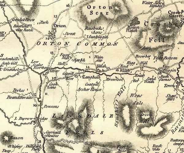 CY24NY60.jpg "L Burrow Bridge" road across a stream; bridge over the Borrow Beck item:- JandMN : 129 Image © see bottom of page |
|
|
|
||
 Lakes Guides menu.