 Old Cumbria Gazetteer
 |
 |
|
| Lune, River (2) | ||
| county:- | Durham | |
| locality type:- | river | |
| 1Km square:- | NY8820 (etc etc) | |
| 10Km square:- | NY82 | |
|
|
||
| evidence:- | perhaps old map:- Saxton 1579 |
|
| source data:- | Map, hand coloured engraving, Westmorlandiae et Cumberlandiae Comitatus ie Westmorland
and Cumberland, scale about 5 miles to 1 inch, by Christopher Saxton, London, engraved
by Augustinus Ryther, 1576, published 1579-1645.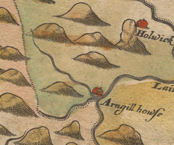 Sax9NY82.jpg item:- private collection : 2 Image © see bottom of page |
|
|
|
||
| evidence:- | old map:- Simpson 1746 map (Wmd) placename:- Banderbeck placename:- Lune River |
|
| source data:- | Map, uncoloured engraving, Westmorland, scale about 8 miles to 1
inch, printed by R Walker, Fleet Lane, London, 1746.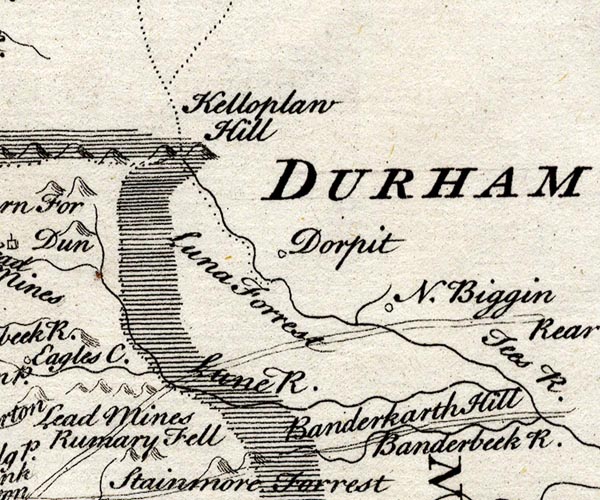 SMP2NYW.jpg "Banderbeck" Wiggly line. "Lune R." Wiggly line; boundary with Yorkshire. item:- Dove Cottage : 2007.38.59 Image © see bottom of page |
|
|
|
||
 Lakes Guides menu.