 |
 |
|
|
|
|
Nenthall |
| civil parish:- |
Alston Moor (formerly Cumberland) |
| county:- |
Cumbria |
| locality type:- |
locality |
| locality type:- |
buildings |
| coordinates:- |
NY75824577 (etc) |
| 1Km square:- |
NY7545 |
| 10Km square:- |
NY74 |
|
|
| evidence:- |
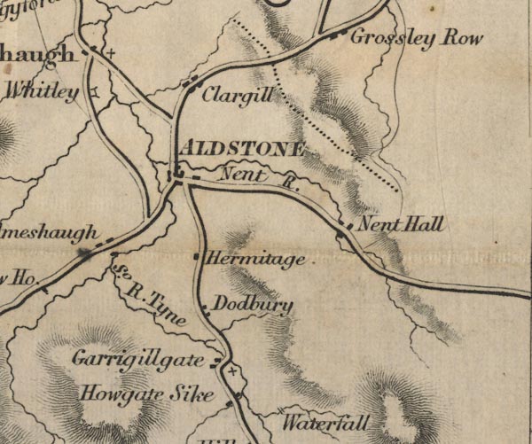
old map:- OS County Series (Cmd 34 10)
placename:- Nenthall
|
| source data:- |
Maps, County Series maps of Great Britain, scales 6 and 25
inches to 1 mile, published by the Ordnance Survey, Southampton,
Hampshire, from about 1863 to 1948.
|
|
|
| evidence:- |
old map:- Ford 1839 map
placename:- Nent Hall
|
| source data:- |
Map, uncoloured engraving, Map of the Lake District of
Cumberland, Westmoreland and Lancashire, scale about 3.5 miles
to 1 inch, published by Charles Thurnam, Carlisle, and by R
Groombridge, 5 Paternoster Row, London, 3rd edn 1843.
FD02NY74.jpg
"Nent Hall"
item:- JandMN : 100.1
Image © see bottom of page
|
|
|
| places:- |
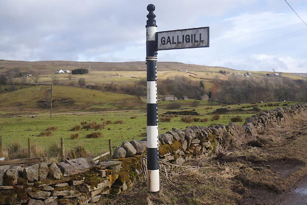 |
NY75514588 fingerpost, Nenthall (Alston Moor) |
|
|
 |
NY75944576 Hare and Hounds (Alston Moor) gone? |
|
|
|
NY75504556 Loatburn (Alston Moor) |
|
|
|
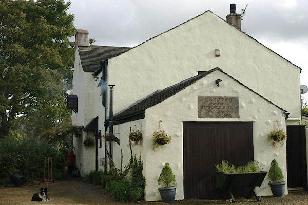
NY75804573 Nent Hall (Alston Moor) |
|
|
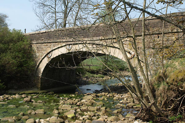 |
NY75884577 Nenthall Bridge (Alston Moor) |
|
|
 |
NY75504582 Old School House, The (Alston Moor) |
|
|
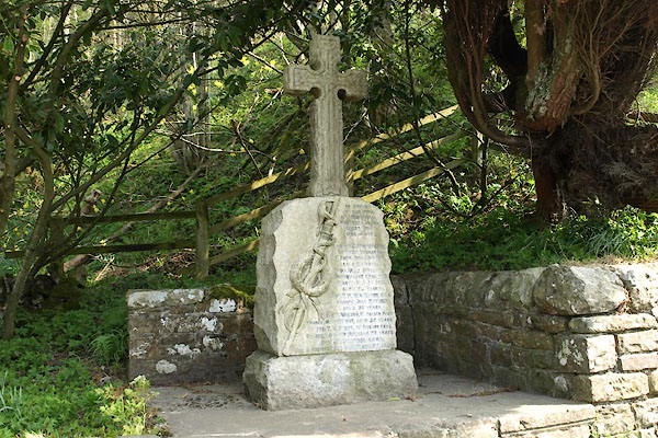 |
NY75974578 war memorial, Nenthall (Alston Moor) |
|
