 Old Cumbria Gazetteer
 |
 |
|
| Nenthead Mines, Nenthead | ||
| Nenthead Mines | ||
| Carr's Mine | ||
| locality:- | Nenthead | |
| civil parish:- | Alston Moor (formerly Cumberland) | |
| county:- | Cumbria | |
| locality type:- | museum | |
| locality type:- | lead mine | |
| locality type:- | mine | |
| coordinates:- | NY782435 (etc) | |
| 1Km square:- | NY7843 | |
| 10Km square:- | NY74 | |
|
|
||
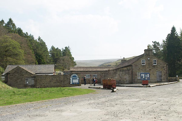 BUJ69.jpg (taken 23.4.2011) 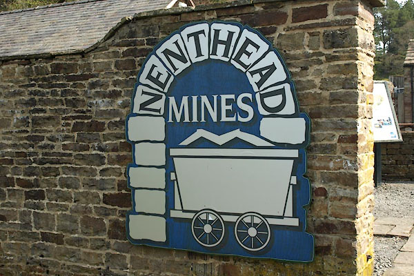 BUJ70.jpg Sign (taken 23.4.2011) |
||
|
|
||
| evidence:- | probably old map:- Donald 1774 (Cmd) |
|
| source data:- | Map, hand coloured engraving, 3x2 sheets, The County of Cumberland, scale about 1
inch to 1 mile, by Thomas Donald, engraved and published by Joseph Hodskinson, 29
Arundel Street, Strand, London, 1774.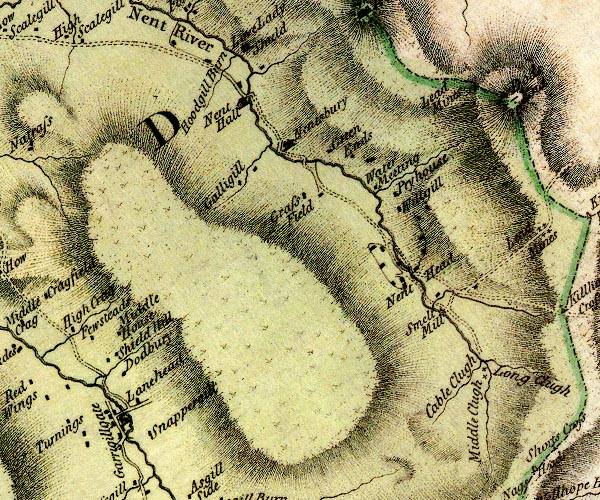 D4NY74SE.jpg "Smelt Mill" circle with rays, mill wheel; a water mill item:- Carlisle Library : Map 2 Image © Carlisle Library |
|
|
|
||
| evidence:- | visit log:- KDMRS 1979-82 placename:- Nenthead Mines item:- galena; purple flourspar; flourspar; green flourspar; chalybite; siderite; blende |
|
| source data:- | Notes, log book of Geological Outings, mine plans, etc, Kendal
and District Mine Research Society, Kendal area, Cumbria, etc,
visits made 1979-82. Geological Outing of the Kendal and District Mine Research Society Log book page 28 (part):- "DATE - SUNDAY 26/8/79 / MAP REF - (1. 7850/4370) ... / LOCATION - (NENTHEAD 1.) ... / NAME - (NENTHEAD MINES 1.) ... / TYPE OF SITE - MINES / WORKING OR DISUSED - DISUSED / PEOPLE IN PARTY [ ] / NOS. OF PHOTOS - Nos.19 / SPECIMENS FOUND - PEICES (sic) OF GALENA, PURPLE FLOURSPAR, GREEN FLOURSPAR, CHALYBITE (SIDERITE) AND BLENDE. / COMMENTS - FAIRLY DRY DAY, SMALL OUTBURSTS OF RAIN. FIRESTONE LEVEL AT NENTHEAD, INS ENTERABLE, BUT IS IN DEEP WATER (4'-5' APPROX) AFTER 100 FT. ..." item:- private collection : 82 Image © see bottom of page |
|
|
|
||
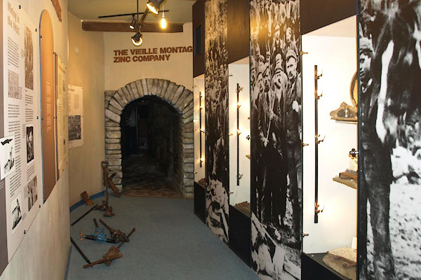 BUJ76.jpg Heritage centre display. (taken 23.4.2011) 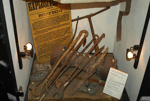 BUJ75.jpg Heritage centre display. (taken 23.4.2011) 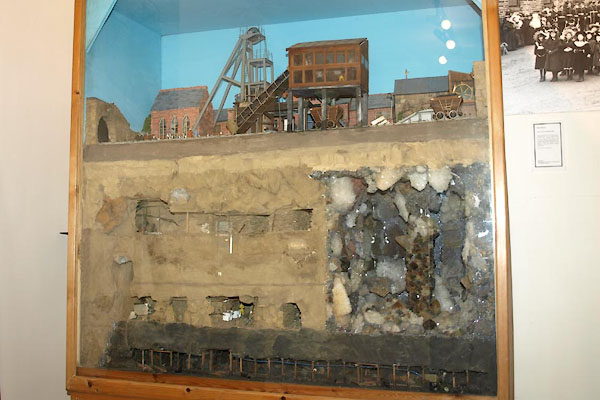 BUJ77.jpg Heritage centre display. (taken 23.4.2011) 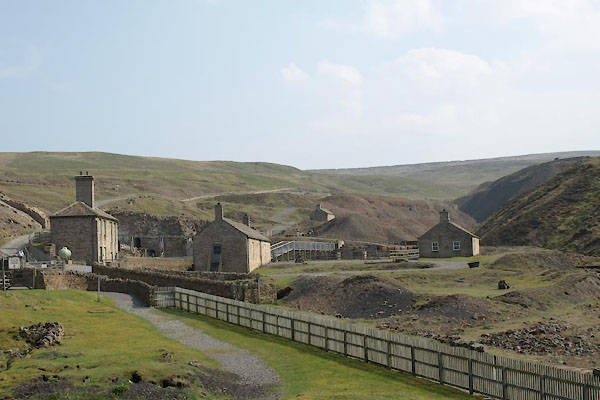 BUJ78.jpg (taken 23.4.2011) 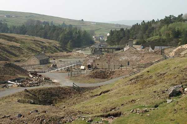 BUJ79.jpg (taken 23.4.2011) 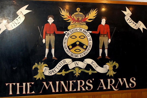 BUJ80.jpg Miners' coat of arms (taken 23.4.2011) 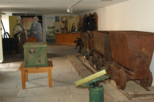 BUJ82.jpg Display. (taken 23.4.2011) 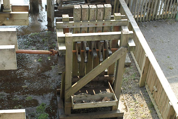 BUJ83.jpg Reconstructed stamp mill. (taken 23.4.2011) 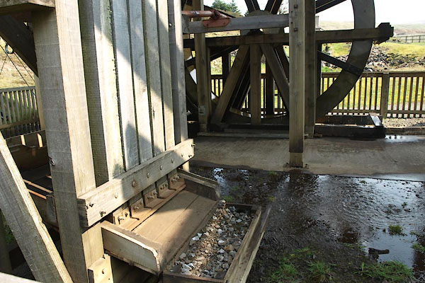 BUJ84.jpg Reconstructed stamp mill. (taken 23.4.2011) 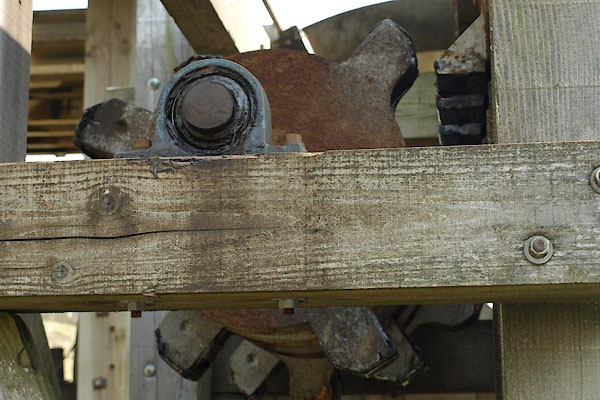 BUJ85.jpg Reconstructed stamp mill. (taken 23.4.2011) 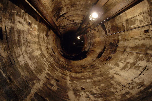 BUJ86.jpg Brewery Shaft. (taken 23.4.2011) |
||
|
|
||
 BUJ74.jpg 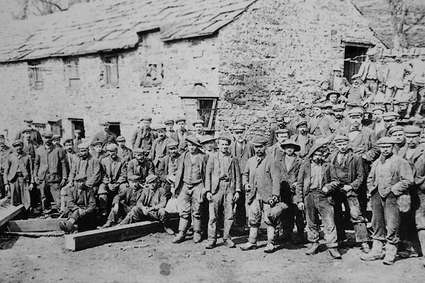 CCL94.jpg |
||
|
|
||
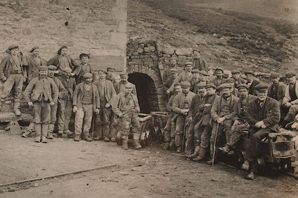
| notes:- |
Operated by the quaker London Lead Company from 1848 to 1881. It exploited veins of
galena, lead sulphide, PbS. |
|
| : 2015 (?): Mines in Cumbria: Cumbria RIGS |
||
|
|
||
| notes:- |
The mines were taken over by Vieille Montaigne, based in Belgium. Miners and mine
engineers from Belgium, Germany, Italy, and Sweden arrived in the village. |
|
|
|
||
 Lakes Guides menu.