Old Cumbria Gazetteer
 |
 |
|
||
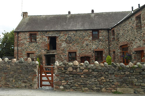
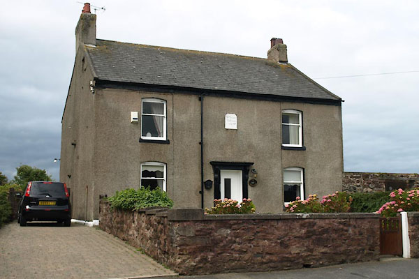
| North Scale, Walney Island | ||||
| North Scale | ||||
| locality:- | Walney Island | |||
| civil parish:- | Barrow-in-Furness (formerly Lancashire) | |||
| county:- | Cumbria | |||
| locality type:- | locality | |||
| locality type:- | buildings | |||
| coordinates:- | SD18297011 (etc) | |||
| 1Km square:- | SD1870 | |||
| 10Km square:- | SD17 | |||
|
|
||||
| evidence:- | old map:- OS County Series (Lan 21 7) placename:- North Scale |
|||
| source data:- | Maps, County Series maps of Great Britain, scales 6 and 25
inches to 1 mile, published by the Ordnance Survey, Southampton,
Hampshire, from about 1863 to 1948. |
|||
|
|
||||
| evidence:- | old text:- West 1774 placename:- Northscale |
|||
| source data:- | Book, with map and prints, The Antiquities of Furness, by Thomas West, Tytup Hall,
Furness, Lancashire, printed by T Spilsbury, Cook's Court, Carey Street, Lincon's
Inn, London, 1774; published 1774-1822? goto source goto sourcePage 379:- "At Northscale in the Isle of Walney, there are several wells, which furnish the inhabitants with fresh water, and receive their supply from the sea; for their contents accumulate and recede, as often as the tides; and there is the greatest quantity of water when the tides are high, and the least when they are low. These wells are situated close by the side of Walney channel, and are sunk into a bed of sand before any water can be procured: hence,it is reasonable to suppose, that the salt water is deprived of its saline particles by percolating through this arenaceous stratum." "The deepest wells begin to gain water about half flood, but those which perforate the higher part of the stratum, are then empty, and do not receive their supply until about the time of high-water, and during the first part of the ebb tide; for the fresh water will continue to accumulate until it attains the level of the salt water in the channel; and as, it is highly probable, that the salt water rises much faster in the channel than the fresh water in the wells, on account of this last having to pass through the bed of sand, consequently the tide must subside before the two fluids will be exactly upon a level." |
|||
|
|
||||
| evidence:- | probably old map:- West 1784 map placename:- North End |
|||
| source data:- | Map, hand coloured engraving, A Map of the Lakes in Cumberland,
Westmorland and Lancashire, scale about 3.5 miles to 1 inch,
engraved by Paas, 53 Holborn, London, about 1784.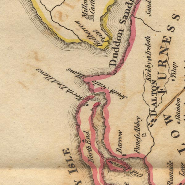 Ws02SD17.jpg item:- Armitt Library : A1221.1 Image © see bottom of page |
|||
|
|
||||
| evidence:- | old map:- Laurie and Whittle 1806 placename:- North Scale |
|||
| source data:- | Road map, Completion of the Roads to the Lakes, scale about 10
miles to 1 inch, by Nathaniel Coltman? 1806, published by Robert
H Laurie, 53 Fleet Street, London, 1834. click to enlarge click to enlargeLw18.jpg "North Scale" village or other place item:- private collection : 18.18 Image © see bottom of page |
|||
|
|
||||
| evidence:- | old map:- Ford 1839 map placename:- North Scale |
|||
| source data:- | Map, uncoloured engraving, Map of the Lake District of
Cumberland, Westmoreland and Lancashire, scale about 3.5 miles
to 1 inch, published by Charles Thurnam, Carlisle, and by R
Groombridge, 5 Paternoster Row, London, 3rd edn 1843.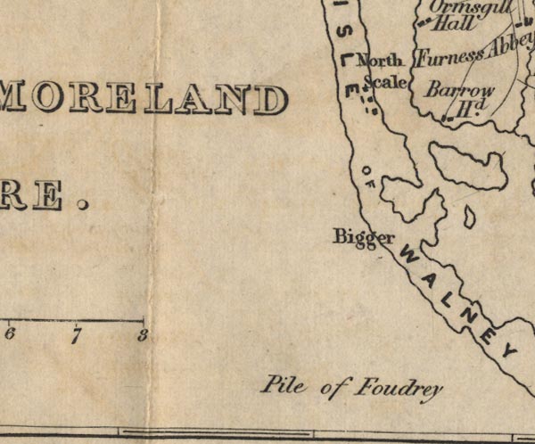 FD02SD16.jpg "North Scale" item:- JandMN : 100.1 Image © see bottom of page |
|||
|
|
||||
| places:- |
|
|||
|
||||
|
||||
|
||||
|
||||
|
||||
Lakes Guides menu.