 Old Cumbria Gazetteer
 |
 |
|
| Ousenstand Bridge, Bolton | ||
| Ousenstand Bridge | ||
| site name:- | Eden, River | |
| civil parish:- | Bolton (formerly Westmorland) | |
| civil parish:- | Temple Sowerby (formerly Westmorland) | |
| county:- | Cumbria | |
| locality type:- | bridge | |
| coordinates:- | NY61402530 | |
| 1Km square:- | NY6125 | |
| 10Km square:- | NY62 | |
|
|
||
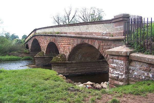 BME76.jpg (taken 1.6.2006) |
||
|
|
||
| evidence:- | old map:- OS County Series (Wmd 8 4) placename:- Ousen Stand |
|
| source data:- | Maps, County Series maps of Great Britain, scales 6 and 25
inches to 1 mile, published by the Ordnance Survey, Southampton,
Hampshire, from about 1863 to 1948. The stretch of river is named Ousen Stand and was the location of a ford crossing the irver diagonally. |
|
|
|
||
| evidence:- | old map:- Cary 1789 (edn 1805) |
|
| source data:- | Map, uncoloured engraving, Westmoreland, scale about 2.5 miles
to 1 inch, by John Cary, London, 1789; edition 1805.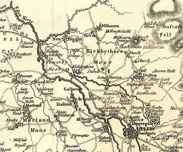 CY24NY62.jpg bridge over the Eden item:- JandMN : 129 Image © see bottom of page |
|
|
|
||
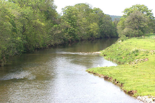 BME77.jpg View of river. (taken 1.6.2006) |
||
|
|
||
 Lakes Guides menu.