 Old Cumbria Gazetteer
 |
 |
|
| Park Bridge, Burnbanks | ||
| Park Bridge | ||
| site name:- | Haweswater Beck | |
| locality:- | Burnbanks | |
| civil parish:- | Shap Rural (formerly Westmorland) | |
| civil parish:- | Bampton (formerly Westmorland) | |
| county:- | Cumbria | |
| locality type:- | packhorse bridge | |
| locality type:- | bridge | |
| coordinates:- | NY51471609 | |
| 1Km square:- | NY5116 | |
| 10Km square:- | NY51 | |
|
|
||
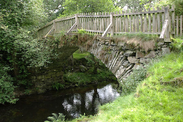 BTH93.jpg (taken 11.8.2010) 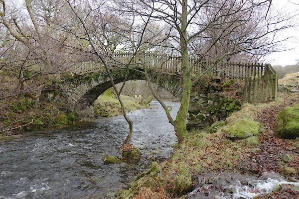 BZT33.jpg (taken 28.12.2013) |
||
|
|
||
| evidence:- | old map:- OS County Series (Wmd 13 12) placename:- Park Bridge |
|
| source data:- | Maps, County Series maps of Great Britain, scales 6 and 25
inches to 1 mile, published by the Ordnance Survey, Southampton,
Hampshire, from about 1863 to 1948. |
|
|
|
||
 BTH94.jpg (taken 11.8.2010) |
||
|
|
||
| :- |
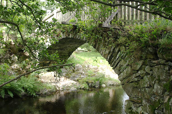
27 foot span, about 6 ft 6 ins wide, no parapets. |
|
| Hinchcliffe, Ernest: 1994: Packhorse Bridges of England: Cicerone Press (Milnthorpe,
Cumbria) |
||
|
|
||
 Lakes Guides menu.