 |
 |
|
|
|
|
Pelutho |
| civil parish:- |
Holme St Cuthbert (formerly Cumberland) |
| civil parish:- |
Holme Abbey (formerly Cumberland) |
| county:- |
Cumbria |
| locality type:- |
locality |
| locality type:- |
buildings |
| coordinates:- |
NY12594915 (etc) |
| 1Km square:- |
NY1249 |
| 10Km square:- |
NY14 |
|
|
| evidence:- |
old map:- OS County Series (Cmd 27 8)
placename:- Pelutho
|
| source data:- |
Maps, County Series maps of Great Britain, scales 6 and 25
inches to 1 mile, published by the Ordnance Survey, Southampton,
Hampshire, from about 1863 to 1948.
|
|
|
| evidence:- |
old map:- Donald 1774 (Cmd)
placename:- Pelutho
|
| source data:- |
Map, hand coloured engraving, 3x2 sheets, The County of Cumberland, scale about 1
inch to 1 mile, by Thomas Donald, engraved and published by Joseph Hodskinson, 29
Arundel Street, Strand, London, 1774.
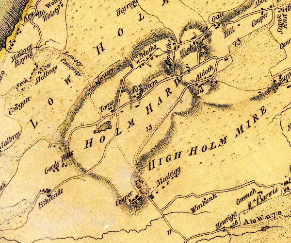
D4NY14NW.jpg
"Pelutho"
block or blocks, labelled in lowercase; a hamlet or just a house
item:- Carlisle Library : Map 2
Image © Carlisle Library |
|
|
reference:-
|
Pelutho
|
|
Adams, Douglas & Lloyd, John: 1990: Deeper Meaning of Life, The: Pan Books &Faber
and Faber
|
|
|
| places:- |
 |
NY13164891 Aaron's Lonning (Holme St Cuthbert) |
|
|
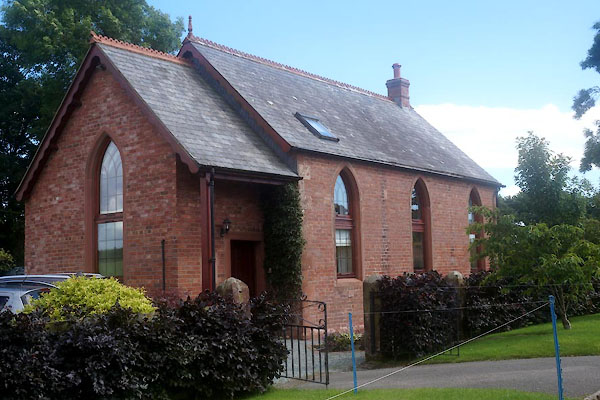 |
NY13454928 chapel, Holme Abbey (Holme Abbey) |
|
|
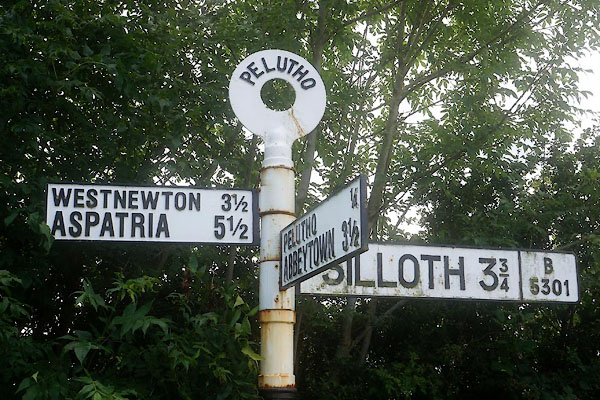 |
NY12104905 fingerpost, Pelutho (Holme St Cuthbert) |
|
|
|
NY13364939 Foulsyke Farm (Holme Abbey) |
|
|
|
NY13444952 Gillbank (Holme Abbey) |
|
|
|
NY12814899 Grayson House (Holme St Cuthbert) |
|
|
|
NY12354917 Pelutho Farm (Holme St Cuthbert) |
|
|
|
NY12904924 Pelutho House (Holme St Cuthbert) |
|
|
|
NY13264901 Watch Hill (Holme Abbey) |
|
|
|
NY11804895 West House (Holme St Cuthbert) |
|
