Old Cumbria Gazetteer
 |
 |
|
||
| Rae Burn | ||||
| runs into:- |  Lyne, River Lyne, River |
|||
|
|
||||
| civil parish:- | Nicholforest (formerly Cumberland) | |||
| civil parish:- | Arthuret (formerly Cumberland) | |||
| civil parish:- | Solport (formerly Cumberland) | |||
| county:- | Cumbria | |||
| locality type:- | river | |||
| locality type:- | boundary | |||
| locality type:- | parish boundary | |||
| 1Km square:- | NY4571 | |||
| 1Km square:- | NY4675 (etc) | |||
| 10Km square:- | NY47 | |||
| 10Km square:- | NY46 | |||
|
|
||||
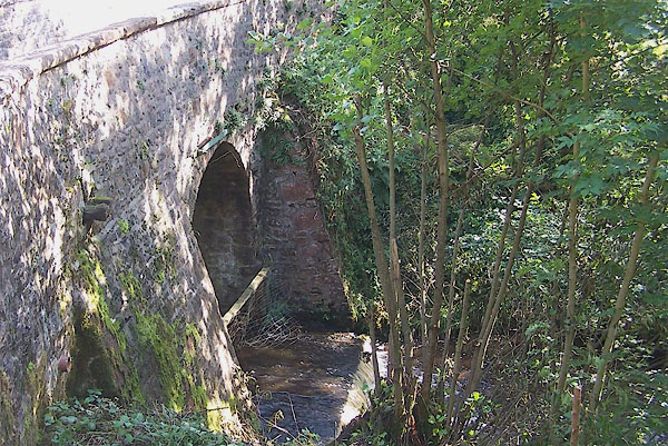
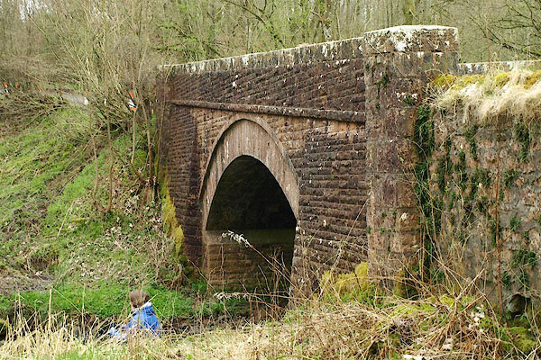
 BMQ54.jpg At the bridge near Holywell. (taken 15.9.2006)  BQJ90.jpg At the Solport Bridge. (taken 11.4.2009) |
||||
|
|
||||
| evidence:- | old map:- OS County Series (Cmd 3 14) placename:- Rae Burn |
|||
| source data:- | Maps, County Series maps of Great Britain, scales 6 and 25
inches to 1 mile, published by the Ordnance Survey, Southampton,
Hampshire, from about 1863 to 1948. OS County Series (Cmd 7 2) OS County Series (Cmd 7 5) OS County Series (Cmd 7 9) OS County Series (Cmd 7 14) |
|||
|
|
||||
| evidence:- | old map:- Ogilby 1675 (plate 62) |
|||
| source data:- | Raod strip map, uncoloured engraving, the Road from Carlisle to
Barwick, scale about 1 inch to 1 mile, by John Ogilby, London,
1675.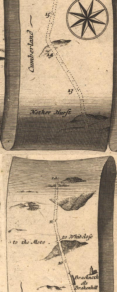 OG62m010.jpg In mile 11, Cumberland. Road crosses a river, no bridge is drawn. item:- JandMN : 83 Image © see bottom of page |
|||
|
|
||||
| evidence:- | old map:- Donald 1774 (Cmd) |
|||
| source data:- | Map, hand coloured engraving, 3x2 sheets, The County of Cumberland, scale about 1
inch to 1 mile, by Thomas Donald, engraved and published by Joseph Hodskinson, 29
Arundel Street, Strand, London, 1774.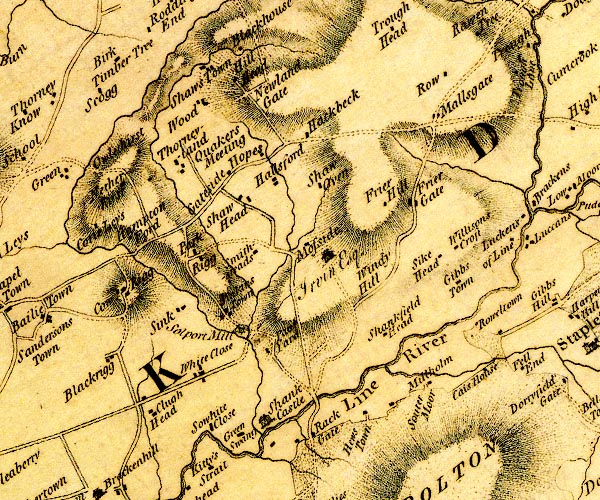 D4NY47SE.jpg single or double wiggly line; a river running into the Line at Shanks Castle item:- Carlisle Library : Map 2 Image © Carlisle Library |
|||
|
|
||||
| places:- |
|
|||
|
||||
|
||||
|
||||
Lakes Guides menu.