Old Cumbria Gazetteer
 |
 |
|
||
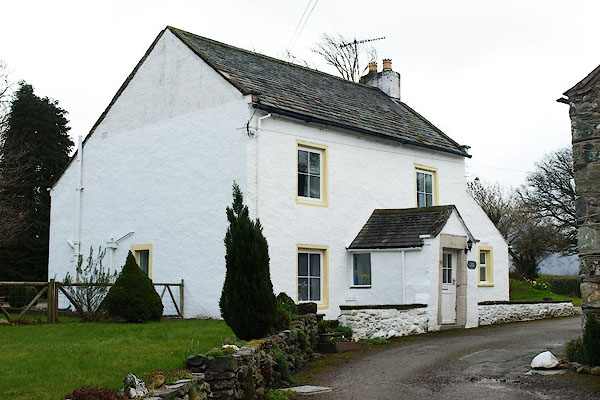
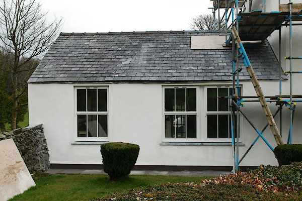
| Ruddings, Setmurthy | ||||
| locality:- | Setmurthy | |||
| civil parish:- | Setmurthy (formerly Cumberland) | |||
| county:- | Cumbria | |||
| locality type:- | locality | |||
| locality type:- | buildings | |||
| coordinates:- | NY19673189 | |||
| 1Km square:- | NY1931 | |||
| 10Km square:- | NY13 | |||
|
|
||||
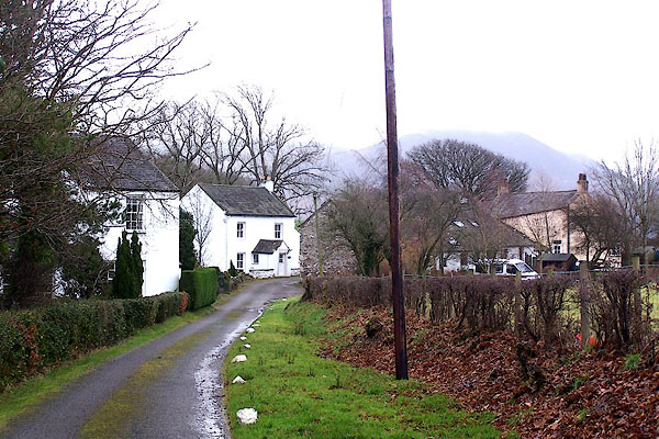 BLO58.jpg (taken 20.1.2006) |
||||
|
|
||||
| evidence:- | old map:- Donald 1774 (Cmd) placename:- Ruding |
|||
| source data:- | Map, hand coloured engraving, 3x2 sheets, The County of Cumberland, scale about 1
inch to 1 mile, by Thomas Donald, engraved and published by Joseph Hodskinson, 29
Arundel Street, Strand, London, 1774.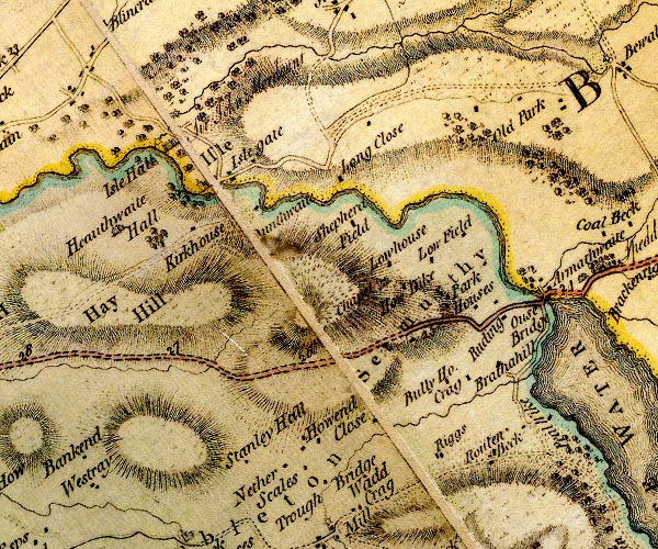 D4NY13SE.jpg "Ruding" block or blocks, labelled in lowercase; a hamlet or just a house item:- Carlisle Library : Map 2 Image © Carlisle Library |
|||
|
|
||||
| places:- |
|
|||
|
||||
 Lakes Guides menu.