Old Cumbria Gazetteer
 |
 |
|
||
| Rusland Pool | ||||
| runs into:- |  Leven Estuary Leven Estuary |
|||
|
|
||||
| civil parish:- | Colton (formerly Lancashire) | |||
| county:- | Cumbria | |||
| locality type:- | river | |||
| 1Km square:- | SD3487 (etc) | |||
| 10Km square:- | SD38 | |||
|
|
||||
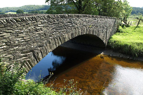
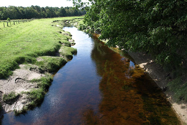 BPO45.jpg At Pool Bridge. (taken 8.8.2008) 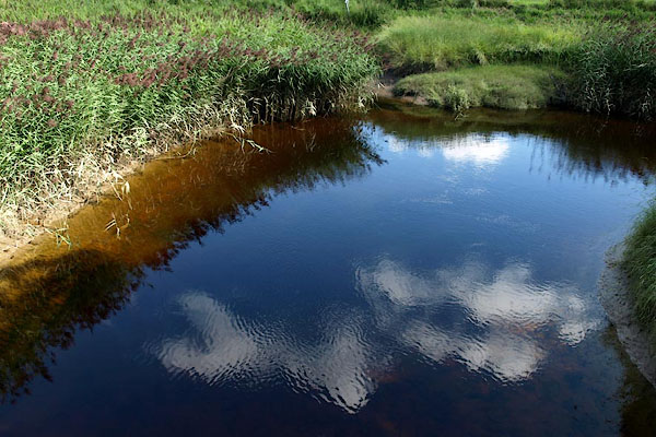 BPO46.jpg At Pool Bridge. (taken 8.8.2008) |
||||
|
|
||||
| evidence:- | old map:- OS County Series (Lan 8) |
|||
| source data:- | Maps, County Series maps of Great Britain, scales 6 and 25
inches to 1 mile, published by the Ordnance Survey, Southampton,
Hampshire, from about 1863 to 1948. "Spring Tides flow to this point" |
|||
|
|
||||
| evidence:- | old map:- Mercator 1595 (edn?) placename:- |
|||
| source data:- | Map, hand coloured engraving, Westmorlandia, Lancastria, Cestria
etc, ie Westmorland, Lancashire, Cheshire etc, scale about 10.5
miles to 1 inch, by Gerard Mercator, Duisberg, Germany, 1595,
edition 1613-16.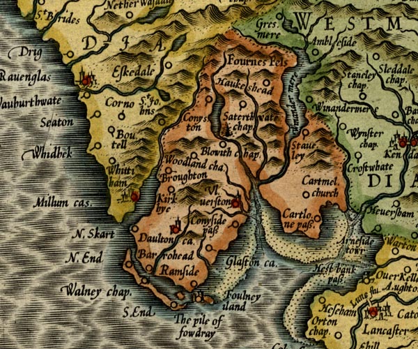 MER5LanA.jpg "" double line with stream lines; river, running into the sea item:- Armitt Library : 2008.14.3 Image © see bottom of page |
|||
|
|
||||
| evidence:- | old map:- Sanson 1679 |
|||
| source data:- | Map, hand coloured engraving, Ancien Royaume de Northumberland
aujourdhuy Provinces de Nort, ie the Ancient Kingdom of
Northumberland or the Northern Provinces, scale about 9.5 miles
to 1 inch, by Nicholas Sanson, Paris, France, 1679. click to enlarge click to enlargeSAN2Cm.jpg tapering wiggly line; river item:- Dove Cottage : 2007.38.15 Image © see bottom of page |
|||
|
|
||||
| evidence:- | old map:- West 1784 map |
|||
| source data:- | Map, hand coloured engraving, A Map of the Lakes in Cumberland,
Westmorland and Lancashire, scale about 3.5 miles to 1 inch,
engraved by Paas, 53 Holborn, London, about 1784.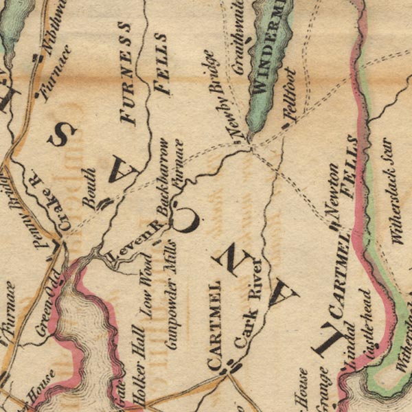 Ws02SD38.jpg item:- Armitt Library : A1221.1 Image © see bottom of page |
|||
|
|
||||
| evidence:- | descriptive text:- Baker 1802 |
|||
| source data:- | Perspective road map with sections in Lancashire, Westmorland,
and Cumberland, by J Baker, London 1802. pp.25-26:- "... Cartmel ... between two bays of the sea, the one formed by the river Kenken, the other by the conflux of some smaller streams, there falling from the great Westmorland and Cumberland fells into the Irish sea. ..." |
|||
|
|
||||
| evidence:- | old map:- Garnett 1850s-60s H |
|||
| source data:- | Map of the English Lakes, in Cumberland, Westmorland and
Lancashire, scale about 3.5 miles to 1 inch, published by John
Garnett, Windermere, Westmorland, 1850s-60s.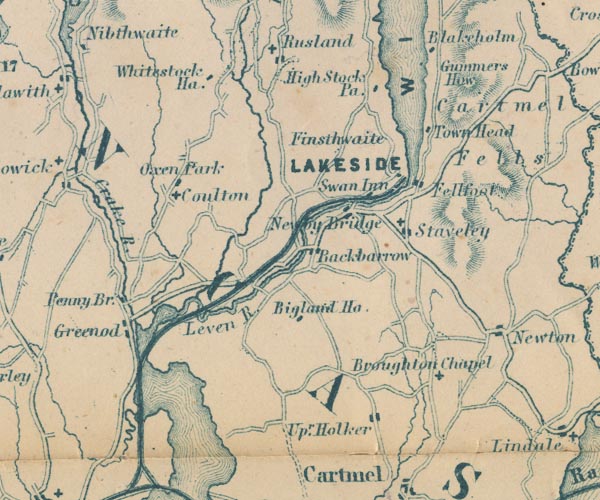 GAR2SD38.jpg wiggly line, river item:- JandMN : 82.1 Image © see bottom of page |
|||
|
|
||||
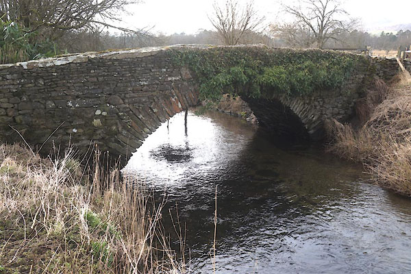
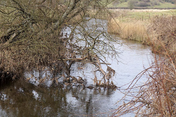 CER96.jpg Near Rusland Pool Bridge. (taken 11.3.2016) 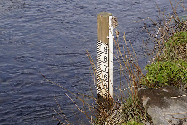 CER97.jpg Depth gauge, (taken 11.3.2016) |
||||
|
|
||||
| places:- |
|
|||
|
||||
|
||||
|
||||
Lakes Guides menu.