 Old Cumbria Gazetteer
 |
 |
|
| Sandscale Haws, Askam and Ireleth | ||
| Sandscale Haws | ||
| locality:- | Duddon Estuary | |
| civil parish:- | Askam and Ireleth (formerly Lancashire) | |
| county:- | Cumbria | |
| locality type:- | sands | |
| coordinates:- | SD18697531 (etc) | |
| 1Km square:- | SD1875 | |
| 10Km square:- | SD17 | |
|
|
||
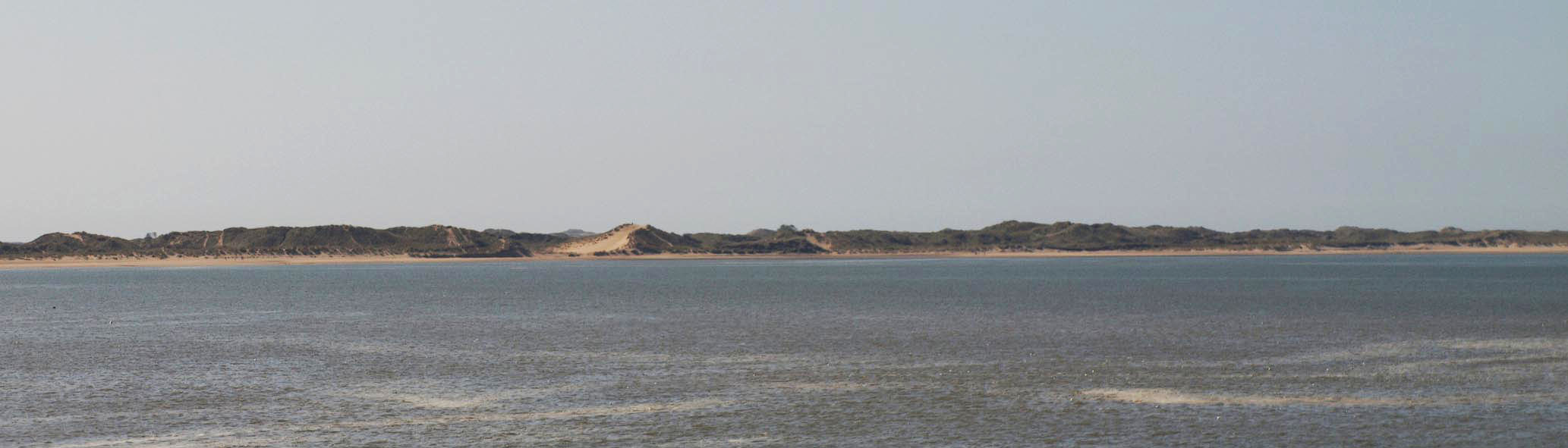 Click to enlarge BSM78.jpg (taken 16.4.2010) |
||
|
|
||
| evidence:- | old map:- OS County Series (Lan 15 11) placename:- Sandscale Haws |
|
| source data:- | Maps, County Series maps of Great Britain, scales 6 and 25
inches to 1 mile, published by the Ordnance Survey, Southampton,
Hampshire, from about 1863 to 1948. |
|
|
|
||
| evidence:- | old map:- West 1784 map placename:- South Scale Haws |
|
| source data:- | Map, hand coloured engraving, A Map of the Lakes in Cumberland,
Westmorland and Lancashire, scale about 3.5 miles to 1 inch,
engraved by Paas, 53 Holborn, London, about 1784.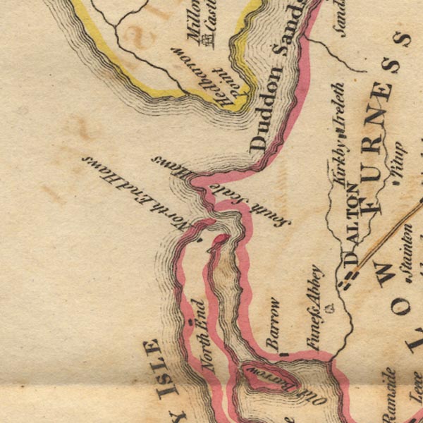 Ws02SD17.jpg item:- Armitt Library : A1221.1 Image © see bottom of page |
|
|
|
||
| person:- | : National Trust |
|
|
|
||
 Lakes Guides menu.