 Old Cumbria Gazetteer
 |
 |
|
| Shoulthwaite Gill | ||
| runs into:- |  Naddle Beck Naddle Beck |
|
|
|
||
| civil parish:- | St John's Castlerigg and Wythburn (formerly Cumberland) | |
| county:- | Cumbria | |
| locality type:- | river | |
| 1Km square:- | NY2919 | |
| 10Km square:- | NY21 | |
|
|
||
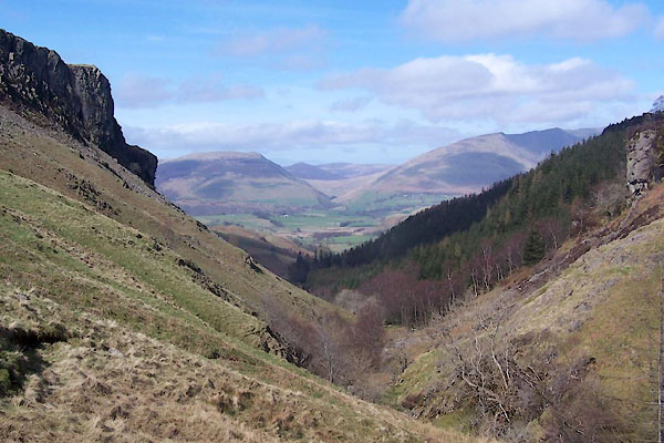
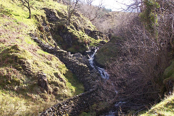 BUI58.jpg (taken 7.4.2011) 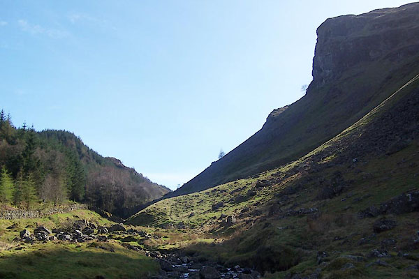 BUI61.jpg and Iron Crag (taken 7.4.2011) |
||
|
|
||
| evidence:- | old map:- OS County Series (Cmd 64 15) placename:- Shoulthwaite Gill |
|
| source data:- | Maps, County Series maps of Great Britain, scales 6 and 25
inches to 1 mile, published by the Ordnance Survey, Southampton,
Hampshire, from about 1863 to 1948. |
|
|
|
||
| evidence:- | old photograph:- Bell 1880s-1940s |
|
| source data:- | Photograph, sepia, Shoulthwaite Gill, St John's Castlerigg and Wythburn, Cumberland,
by Herbert Bell, photographer, Ambleside, Westmorland, 1890s.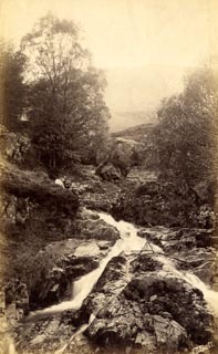 click to enlarge click to enlargeHB0741.jpg internegative at lower right:- "H. Bell" item:- Armitt Library : ALPS404 Image © see bottom of page |
|
|
|
||
| evidence:- | old photograph:- Bell 1880s-1940s |
|
| source data:- | Photograph, sepia, view from Castle Crag, down Shoulthwaite Gill, St John's Castlerigg
and Wythburn, Cumberland, by Herbert Bell, photographer, Ambleside, Westmorland, 1890s.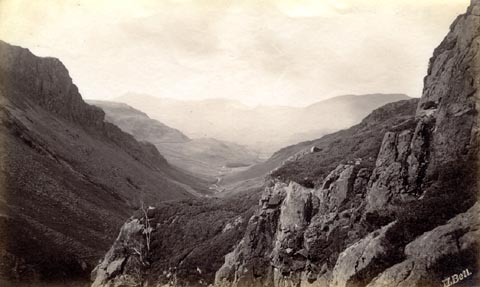 click to enlarge click to enlargeHB0743.jpg internegative at lower right:- "H. Bell" item:- Armitt Library : ALPS406 Image © see bottom of page |
|
|
|
||
 BUI60.jpg and Iron Crag (taken 7.4.2011) 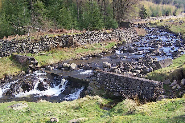 BUI62.jpg Weir at, (taken 7.4.2011) |
||
|
|
||
Lakes Guides menu.