Old Cumbria Gazetteer
 |
 |
|
||
| Stainton Beck (2) | ||||
| runs into:- |  Bela, River Bela, River |
|||
|
|
||||
| Stainton Beck | ||||
| civil parish:- | Stainton (formerly Westmorland) | |||
| civil parish:- | Preston Richard (formerly Westmorland) | |||
| civil parish:- | Heversham (formerly Westmorland) | |||
| county:- | Cumbria | |||
| locality type:- | river | |||
| locality type:- | boundary | |||
| locality type:- | parish boundary | |||
| 1Km square:- | SD5285 (etc) | |||
| 10Km square:- | SD58 | |||
|
|
||||
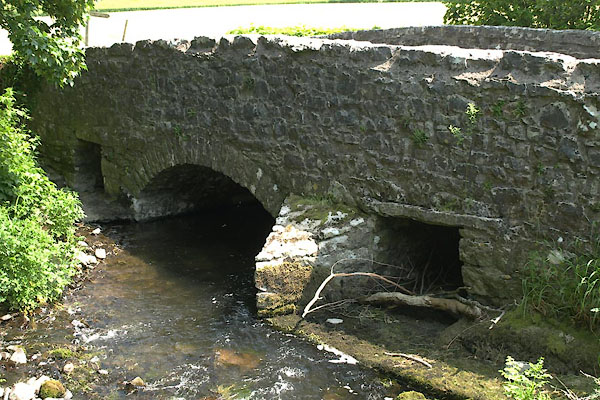
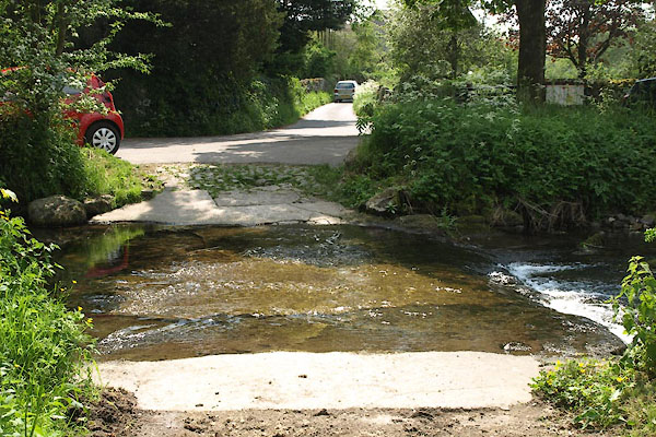
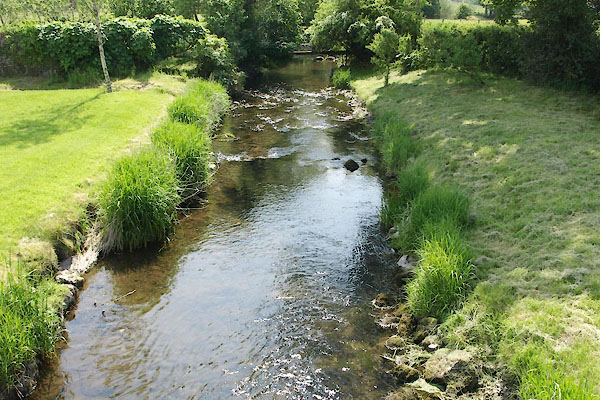
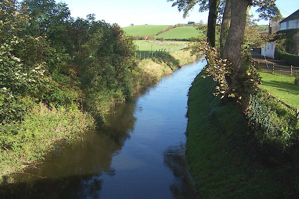 BMX72.jpg From Deepthwaite Bridge. (taken 29.10.2006) 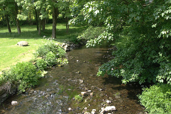 BYM95.jpg (taken 7.6.2013) |
||||
|
|
||||
| evidence:- | old map:- Ogilby 1675 (plate 38) |
|||
| source data:- | Road strip map, hand coloured engraving, continuation of the
Road from London to Carlisle, scale about 1 inch to 1 mile, by
John Ogilby, London, 1675.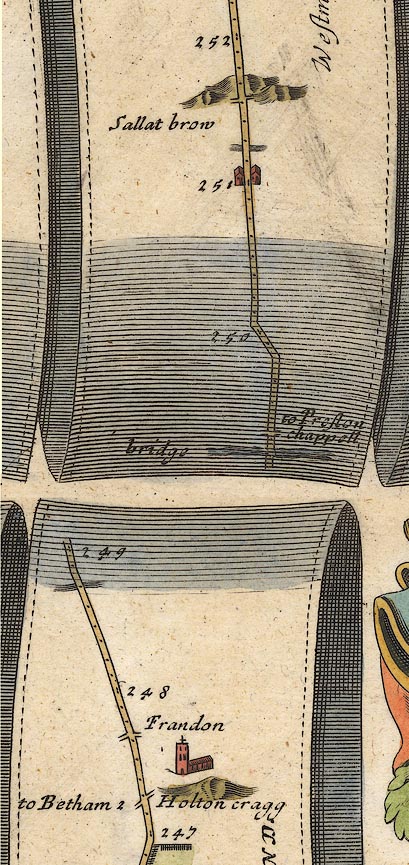 OG38m247.jpg In mile 251, Westmoreland. River crossed by the road, no bridge drawn. item:- JandMN : 21 Image © see bottom of page |
|||
|
|
||||
| evidence:- | probably old map:- Bowen and Kitchin 1760 |
|||
| source data:- | Map, hand coloured engraving, A New Map of the Counties of
Cumberland and Westmoreland Divided into their Respective Wards,
scale about 4 miles to 1 inch, by Emanuel Bowen and Thomas
Kitchin et al, published by T Bowles, Robert Sayer, and John
Bowles, London, 1760.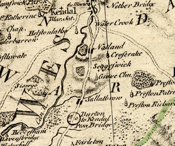 BO18SD48.jpg wiggly line, into the Kent item:- Armitt Library : 2008.14.10 Image © see bottom of page |
|||
|
|
||||
| evidence:- | old map:- Jefferys 1770 (Wmd) |
|||
| source data:- | Map, 4 sheets, The County of Westmoreland, scale 1 inch to 1
mile, surveyed 1768, and engraved and published by Thomas
Jefferys, London, 1770.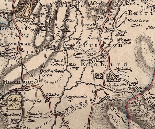 J5SD58SW.jpg single or double wiggly line; river item:- National Library of Scotland : EME.s.47 Image © National Library of Scotland |
|||
|
|
||||
| evidence:- | old map:- West 1784 map |
|||
| source data:- | Map, hand coloured engraving, A Map of the Lakes in Cumberland,
Westmorland and Lancashire, scale about 3.5 miles to 1 inch,
engraved by Paas, 53 Holborn, London, about 1784.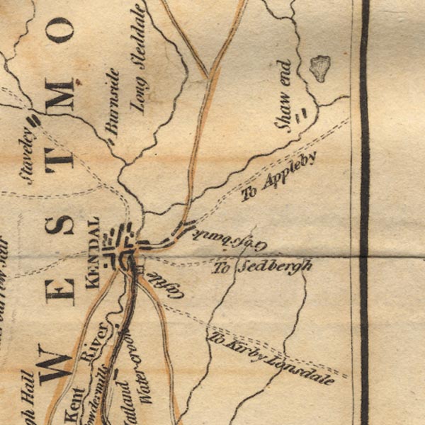 Ws02SD59.jpg 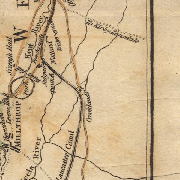 Ws02SD58.jpg item:- Armitt Library : A1221.1 Image © see bottom of page |
|||
|
|
||||
| evidence:- | old map:- Cary 1789 (edn 1805) |
|||
| source data:- | Map, uncoloured engraving, Westmoreland, scale about 2.5 miles
to 1 inch, by John Cary, London, 1789; edition 1805.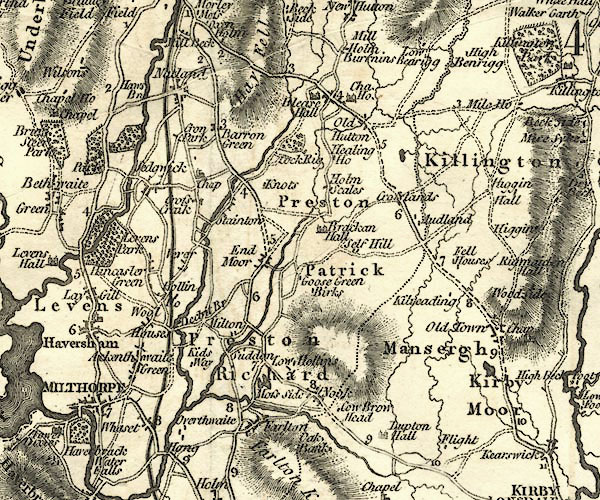 CY24SD58.jpg river running into the Bela item:- JandMN : 129 Image © see bottom of page |
|||
|
|
||||
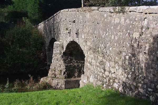
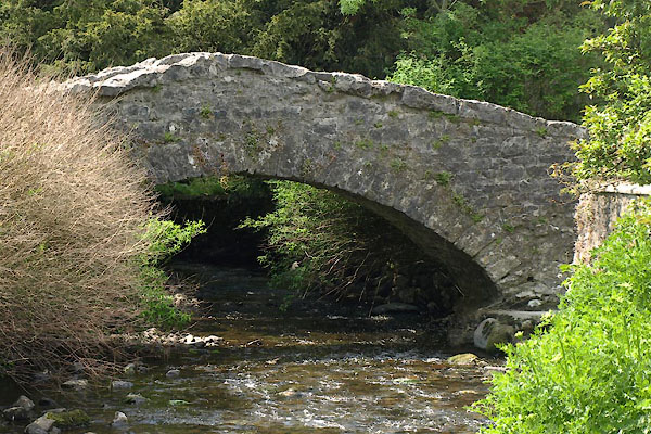
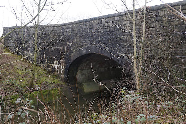
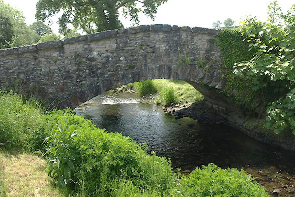
 BYM69.jpg At Stainton Bridge. (taken 7.6.2013) 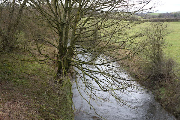 CCP87.jpg At Rowell Bridge. (taken 13.3.2015) |
||||
|
|
||||
| places:- |
|
|||
|
||||
|
||||
|
||||
|
||||
|
||||
|
||||
|
||||
|
||||
Lakes Guides menu.