 Old Cumbria Gazetteer
 |
 |
|
| Stakes Moss, Crosthwaite and Lyth | ||
| Stakes Moss | ||
| civil parish:- | Crosthwaite and Lyth (formerly Westmorland) | |
| county:- | Cumbria | |
| locality type:- | moss | |
| coordinates:- | SD465846 (etc) | |
| 1Km square:- | SD4684 | |
| 10Km square:- | SD48 | |
|
|
||
| evidence:- | possibly old map:- West 1784 map |
|
| source data:- | Map, hand coloured engraving, A Map of the Lakes in Cumberland,
Westmorland and Lancashire, scale about 3.5 miles to 1 inch,
engraved by Paas, 53 Holborn, London, about 1784.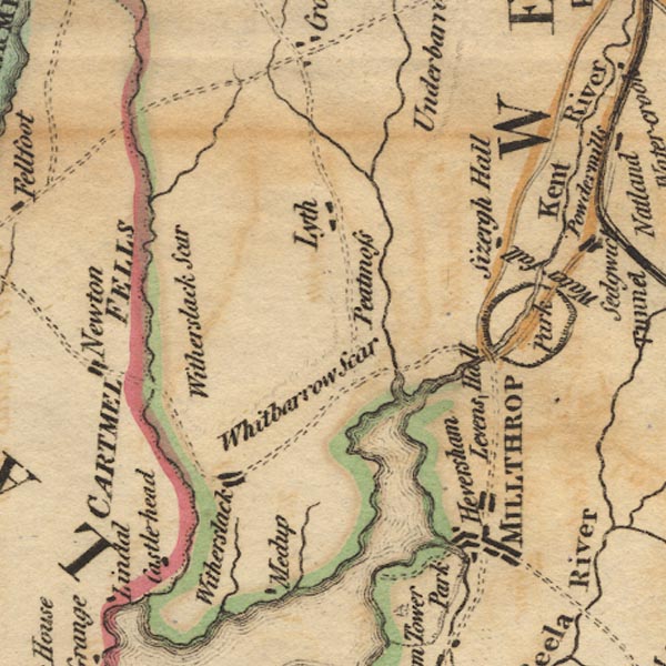 Ws02SD48.jpg "Peatmoss" Beside the River Gilpin. item:- Armitt Library : A1221.1 Image © see bottom of page |
|
|
|
||
 Lakes Guides menu.