 Old Cumbria Gazetteer
 |
 |
|
| Stile End, Above Derwent | ||
| Stile End | ||
| civil parish:- | Above Derwent (formerly Cumberland) | |
| county:- | Cumbria | |
| locality type:- | hill | |
| coordinates:- | NY22062189 | |
| 1Km square:- | NY2221 | |
| 10Km square:- | NY22 | |
| altitude:- | 1467 feet | |
| altitude:- | 447m | |
|
|
||
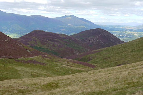
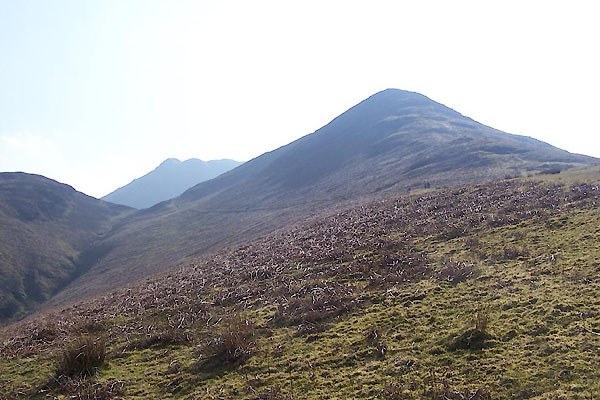 BUH47.jpg From NW ridge. (taken 28.3.2011) 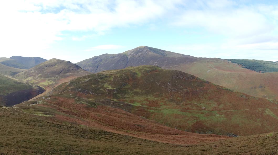 Click to enlarge BZO04.jpg From Barrow. (taken 24.10.2013) |
||
|
|
||
| evidence:- | old map:- OS County Series (Cmd 63 12) placename:- Stile End |
|
| source data:- | Maps, County Series maps of Great Britain, scales 6 and 25
inches to 1 mile, published by the Ordnance Survey, Southampton,
Hampshire, from about 1863 to 1948. |
|
|
|
||
 CDZ38.jpg Stile End and Barrow. (taken 16.9.2015) 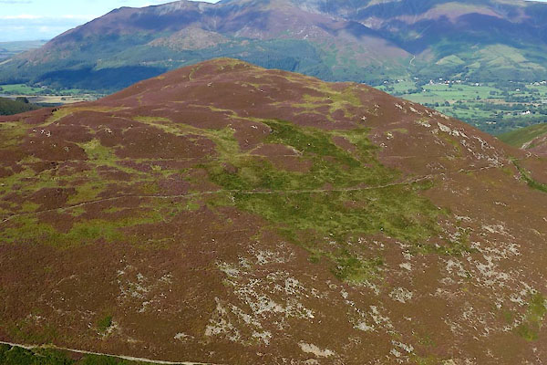 CDZ40.jpg From Stonycroft side. (taken 16.9.2015) 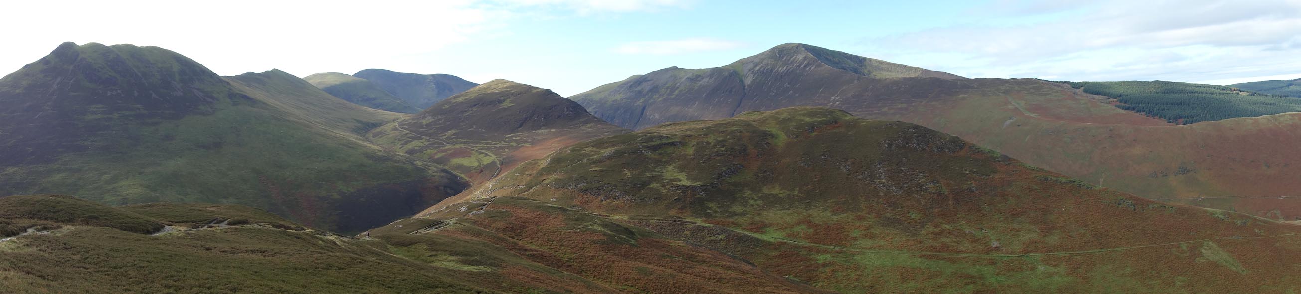 Click to enlarge BZO05.jpg Causey Pike, Barrow Door, Outerside, Stile End and Grisedale Pike behind. (taken 24.10.2013) |
||
|
|
||
 Lakes Guides menu.