 Old Cumbria Gazetteer
 |
 |
|
| Stone Ends, Mungrisdale | ||
| Stone Ends | ||
| civil parish:- | Mungrisdale (formerly Cumberland) | |
| county:- | Cumbria | |
| locality type:- | buildings | |
| coordinates:- | NY35523363 | |
| 1Km square:- | NY3533 | |
| 10Km square:- | NY33 | |
|
|
||
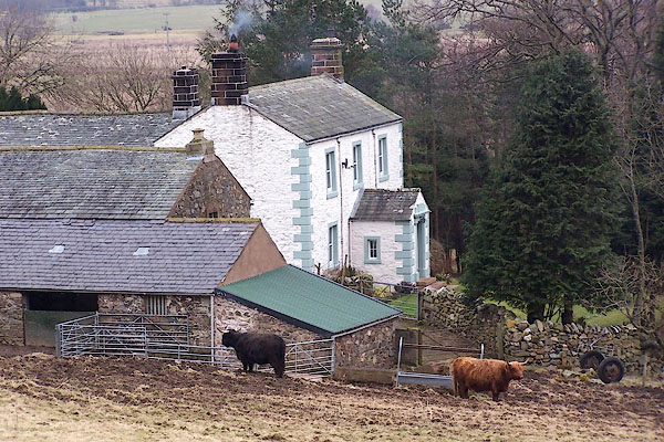 BLR32.jpg (taken 9.3.2006) |
||
|
|
||
| evidence:- | old map:- Donald 1774 (Cmd) placename:- Stone Ends |
|
| source data:- | Map, hand coloured engraving, 3x2 sheets, The County of Cumberland, scale about 1
inch to 1 mile, by Thomas Donald, engraved and published by Joseph Hodskinson, 29
Arundel Street, Strand, London, 1774.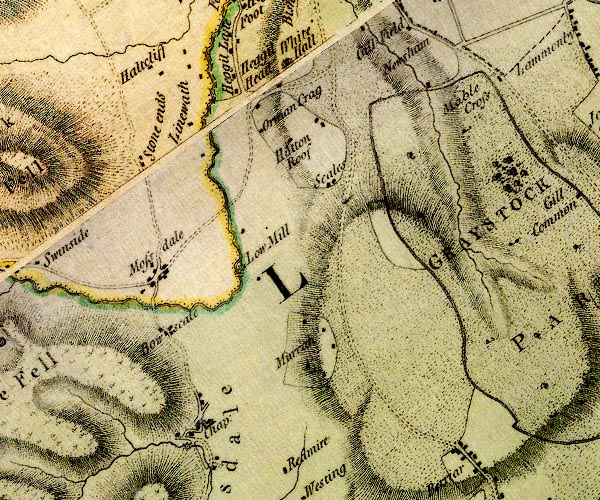 D4NY33SE.jpg "Stone ends" block or blocks, labelled in lowercase; a hamlet or just a house item:- Carlisle Library : Map 2 Image © Carlisle Library |
|
|
|
||
| evidence:- | old map:- Ford 1839 map placename:- Stone Ends |
|
| source data:- | Map, uncoloured engraving, Map of the Lake District of
Cumberland, Westmoreland and Lancashire, scale about 3.5 miles
to 1 inch, published by Charles Thurnam, Carlisle, and by R
Groombridge, 5 Paternoster Row, London, 3rd edn 1843.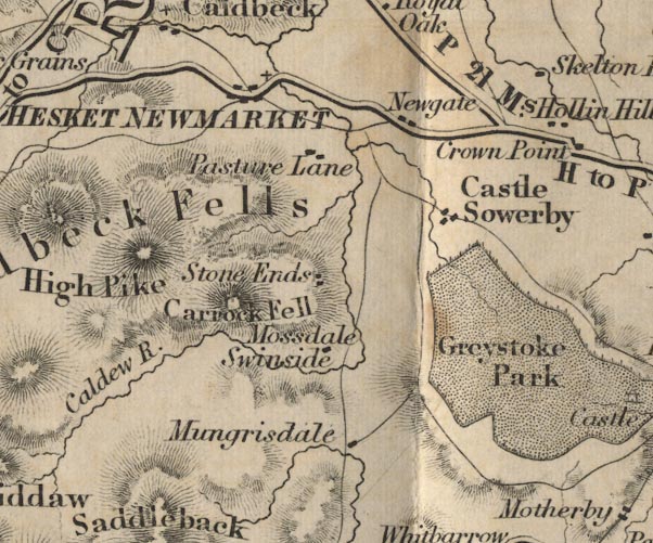 FD02NY33.jpg "Stone Ends" item:- JandMN : 100.1 Image © see bottom of page |
|
|
|
||
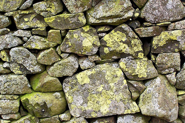 BLR33.jpg Stone wall with yellow crustose and other lichens. (taken 9.3.2006) 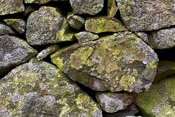 BLR34.jpg Stone wall with yellow crustose and other lichens. (taken 9.3.2006) 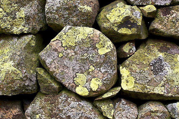 BLR35.jpg Stone wall with yellow crustose and other lichens. (taken 9.3.2006) 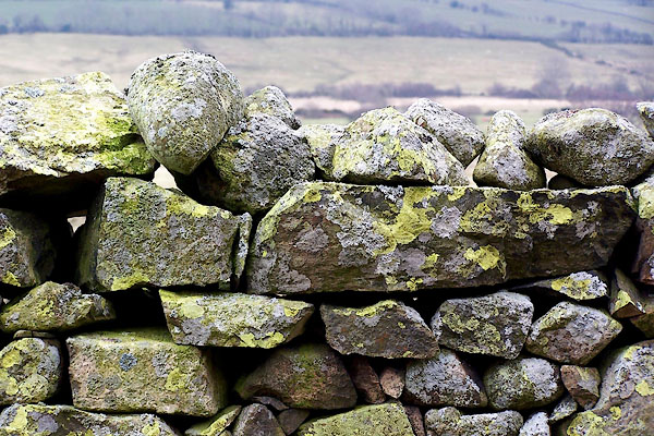 BLR36.jpg Stone wall with yellow crustose and other lichens. (taken 9.3.2006) |
||
|
|
||
 Lakes Guides menu.