 Old Cumbria Gazetteer
 |
 |
|
| Thrimby Grange, Thrimby | ||
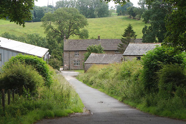
| Thrimby Grange | ||
| civil parish:- | Thrimby (formerly Westmorland) | |
| county:- | Cumbria | |
| locality type:- | buildings | |
| coordinates:- | NY55771980 | |
| 1Km square:- | NY5519 | |
| 10Km square:- | NY51 | |
|
|
||
 CDP31.jpg (taken 24.7.2015) |
||
|
|
||
| evidence:- | old map:- OS County Series (Wmd 14 2) placename:- Thrimby Grange |
|
| source data:- | Maps, County Series maps of Great Britain, scales 6 and 25
inches to 1 mile, published by the Ordnance Survey, Southampton,
Hampshire, from about 1863 to 1948. |
|
|
|
||
| evidence:- | database:- Listed Buildings 2010 placename:- Thrimby Grange item:- coat of arms; date stone (1578) |
|
| source data:- | courtesy of English Heritage "THRIMBY GRANGE / / / THRIMBY / EDEN / CUMBRIA / II / 74377 / NY5577219806" |
|
|
|
||
 Lakes Guides menu.