 |
 |
|
|
|
|
Thurstonfield |
| civil parish:- |
Burgh by Sands (formerly Cumberland) |
| county:- |
Cumbria |
| locality type:- |
locality |
| locality type:- |
buildings |
| coordinates:- |
NY31595662 (etc) |
| 1Km square:- |
NY3156 |
| 10Km square:- |
NY35 |
|
|
| evidence:- |
old map:- OS County Series (Cmd 22 4)
placename:- Thurstonfield
|
| source data:- |
Maps, County Series maps of Great Britain, scales 6 and 25
inches to 1 mile, published by the Ordnance Survey, Southampton,
Hampshire, from about 1863 to 1948.
|
|
|
| evidence:- |
old map:- Donald 1774 (Cmd)
placename:- Thrustenfield
|
| source data:- |
Map, hand coloured engraving, 3x2 sheets, The County of Cumberland, scale about 1
inch to 1 mile, by Thomas Donald, engraved and published by Joseph Hodskinson, 29
Arundel Street, Strand, London, 1774.
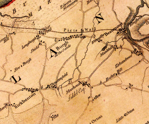
D4NY35NW.jpg
"Thrustenfield"
block or blocks, labelled in lowercase; a hamlet or just a house
item:- Carlisle Library : Map 2
Image © Carlisle Library |
|
|
| places:- |
 |
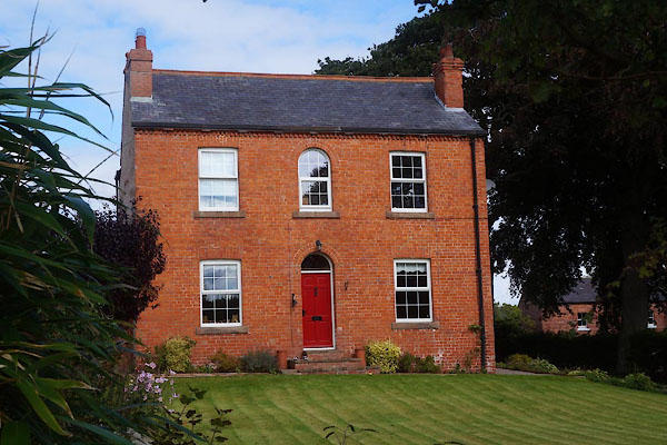
NY31565664 Beeches, The (Burgh by Sands) L |
|
|
 |
NY31745645 cock pit, Thurstonfield (Burgh by Sands) gone |
|
|
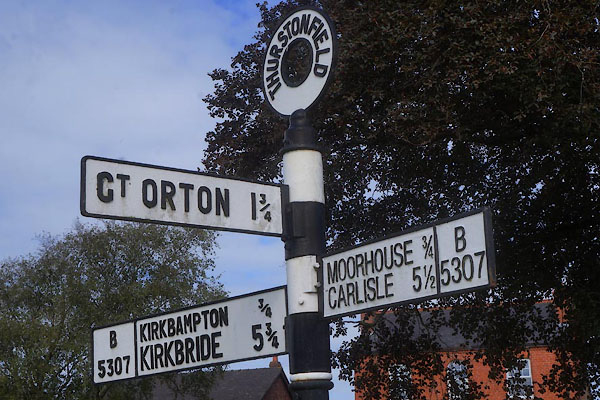 |
NY31605655 fingerpost, Thurstonfield (Burgh by Sands) |
|
|
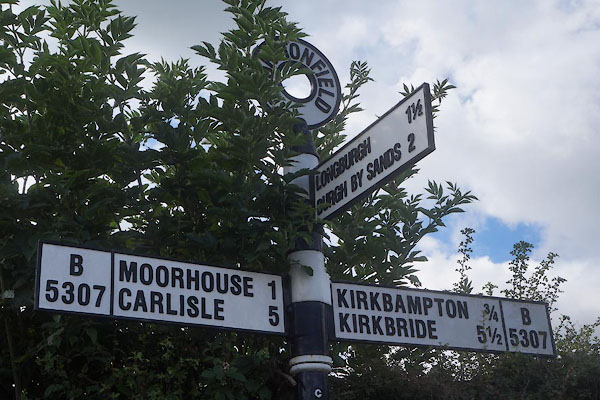 |
NY31375656 fingerpost, Thurstonfield (2) (Burgh by Sands) |
|
|
|
NY31805658 Greyhound Inn, Thurstonfield (Burgh by Sands) |
|
|
|
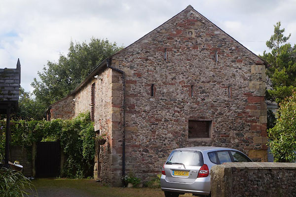
NY31795655 High Mill (Burgh by Sands) |
|
|
 |
NY31605665 Hollies, The (Burgh by Sands) L |
|
|
 |
NY31655658 Kokied Cottage (Burgh by Sands) L |
|
|
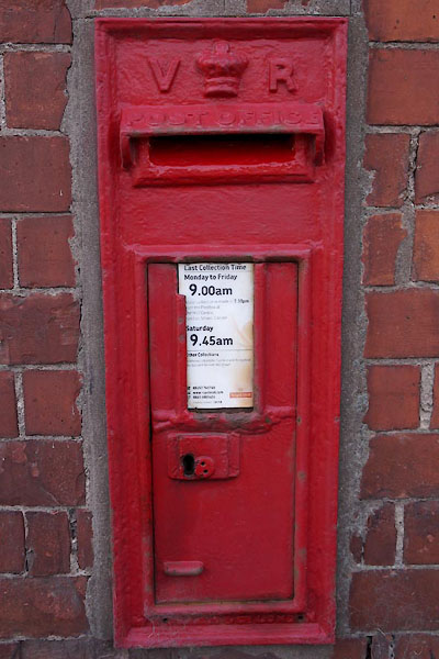 |
NY31645656 post box, Thurstonfield (Burgh by Sands) |
|
|
 |
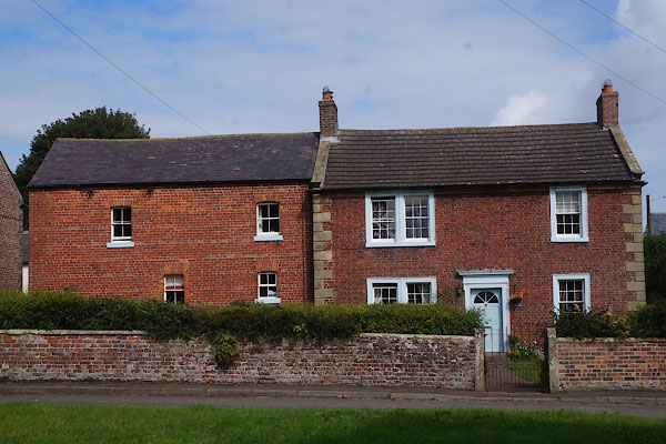
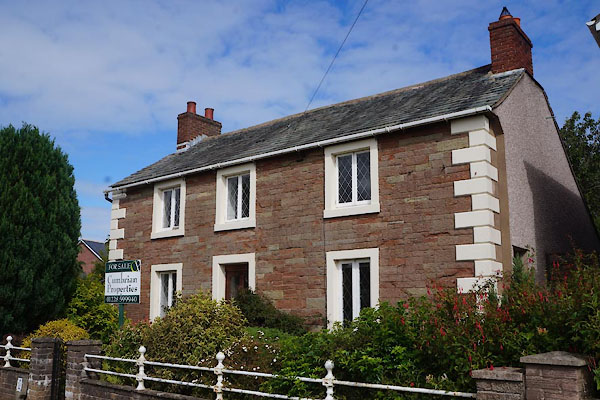
NY31575660 Red House, The (Burgh by Sands) |
|
|
 |
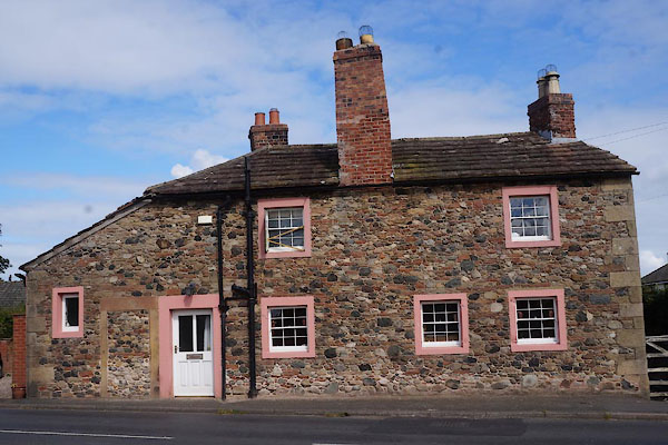
NY31555660 Shepherds Hill Farm (Burgh by Sands) L |
|
|
 |
NY31405669 South View (Burgh by Sands) L |
|
|
|
NY31955628 Thurstonfield Lough (Burgh by Sands) |
|
|
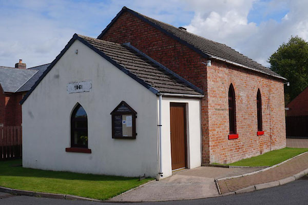 |
NY31735647 Thurstonfield Methodist Chapel (Burgh by Sands) |
|
