 Old Cumbria Gazetteer
 |
 |
|
| Walm How, Bampton | ||
| Walm How | ||
| civil parish:- | Bampton (formerly Westmorland) | |
| county:- | Cumbria | |
| locality type:- | buildings | |
| coordinates:- | NY51651725 | |
| 1Km square:- | NY5117 | |
| 10Km square:- | NY51 | |
|
|
||
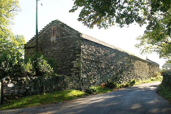 BTR90.jpg (taken 20.10.2010) 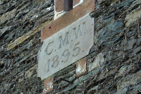 BTR91.jpg "C. M. W. / 1895." (taken 20.10.2010) |
||
|
|
||
| evidence:- | old map:- OS County Series (Wmd 13 8) placename:- Wormhow |
|
| source data:- | Maps, County Series maps of Great Britain, scales 6 and 25
inches to 1 mile, published by the Ordnance Survey, Southampton,
Hampshire, from about 1863 to 1948. |
|
|
|
||
| evidence:- | old map:- Jefferys 1770 (Wmd) placename:- Worm How |
|
| source data:- | Map, 4 sheets, The County of Westmoreland, scale 1 inch to 1
mile, surveyed 1768, and engraved and published by Thomas
Jefferys, London, 1770.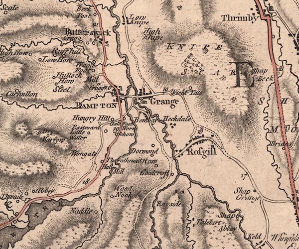 J5NY51NW.jpg "Worm how" circle, labelled in italic lowercase text; settlement, farm, house, or hamlet? item:- National Library of Scotland : EME.s.47 Image © National Library of Scotland |
|
|
|
||
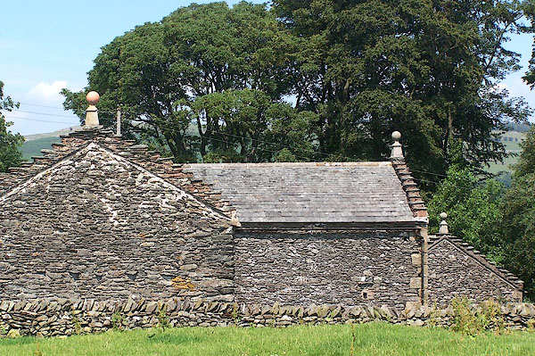 BMH76.jpg Barn ends. (taken 3.7.2006) |
||
|
|
||
 Lakes Guides menu.