Old Cumbria Gazetteer
 |
 |
|
||
| Watchgate, Whitwell and Selside | ||||
| Watchgate | ||||
| civil parish:- | Whitwell and Selside (formerly Westmorland) | |||
| county:- | Cumbria | |||
| locality type:- | locality | |||
| locality type:- | buildings | |||
| coordinates:- | SD52739915 (etc) | |||
| 1Km square:- | SD5299 | |||
| 10Km square:- | SD59 | |||
|
|
||||
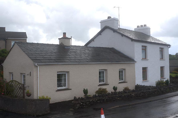
 BNO56.jpg ... and the A6. (taken 11.4.2007) |
||||
|
|
||||
| evidence:- | old map:- OS County Series (Wmd 33 8) placename:- Watchgate |
|||
| source data:- | Maps, County Series maps of Great Britain, scales 6 and 25
inches to 1 mile, published by the Ordnance Survey, Southampton,
Hampshire, from about 1863 to 1948. |
|||
|
|
||||
| evidence:- | old map:- Ford 1839 map placename:- Watch Yale |
|||
| source data:- | Map, uncoloured engraving, Map of the Lake District of
Cumberland, Westmoreland and Lancashire, scale about 3.5 miles
to 1 inch, published by Charles Thurnam, Carlisle, and by R
Groombridge, 5 Paternoster Row, London, 3rd edn 1843.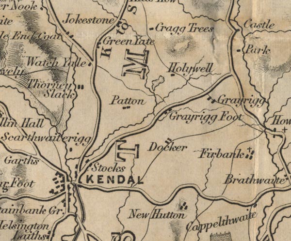 FD02SD59.jpg "Watch Yale" item:- JandMN : 100.1 Image © see bottom of page |
|||
|
|
||||
| places:- |
|
|||
|
||||
|
||||
|
||||
 Lakes Guides menu.