 Old Cumbria Gazetteer
 |
 |
|
| Waterhead, Wythburn | ||
| Waterhead | ||
| locality:- | Wythburn | |
| civil parish:- | St John's Castlerigg and Wythburn (formerly Cumberland) | |
| county:- | Cumbria | |
| locality type:- | buildings | |
| coordinates:- | NY321147 (approx) | |
| 1Km square:- | NY3214 | |
| 10Km square:- | NY31 | |
| SummaryText:- | Now submerged. | |
|
|
||
| evidence:- | old map:- Donald 1774 (Cmd) placename:- Waterhead |
|
| source data:- | Map, hand coloured engraving, 3x2 sheets, The County of Cumberland, scale about 1
inch to 1 mile, by Thomas Donald, engraved and published by Joseph Hodskinson, 29
Arundel Street, Strand, London, 1774.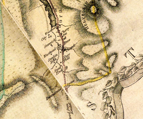 D4NY31SW.jpg "Waterhead" block or blocks, labelled in lowercase; a hamlet or just a house item:- Carlisle Library : Map 2 Image © Carlisle Library |
|
|
|
||
| evidence:- | old text:- Clarke 1787 item:- land tenure; stallion; bull; boar |
|
| source data:- | Guide book, A Survey of the Lakes of Cumberland, Westmorland,
and Lancashire, written and published by James Clarke, Penrith,
Cumberland, and in London etc, 1787; published 1787-93. goto source goto sourcePage 118:- "..." "We now reach Wytheburn, a small manor belonging to Sir Frederick Vane Fletcher, Baronet. The tenants are all customary, except one, (viz.) the tenement at the water-head, the owner of which is obliged to keep a stallion, a bull, and a boar, for the service of the tenants. ..." |
|
|
|
||
| evidence:- | old map:- Clarke 1787 map (Ambleside to Keswick) placename:- Waterhead |
|
| source data:- | Map, A Map of the Roads Lakes etc between Keswick and Ambleside,
scale about 2.5 ins to 1 mile, by James Clarke, engraved by S J
Neele, 352 Strand, published by James Clarke, Penrith,
Cumberland and in London etc, 1787.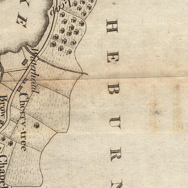 CL9NY31G.jpg "Waterhead" item:- private collection : 10.9 Image © see bottom of page |
|
|
|
||
Lakes Guides menu.