 Old Cumbria Gazetteer
 |
 |
|
| Waterside House, Barton | ||
| Waterside House | ||
| civil parish:- | Barton (formerly Westmorland) | |
| county:- | Cumbria | |
| locality type:- | buildings | |
| coordinates:- | NY46312305 | |
| 1Km square:- | NY4623 | |
| 10Km square:- | NY42 | |
|
|
||
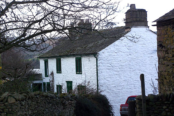 BLO71.jpg (taken 25.1.2006) 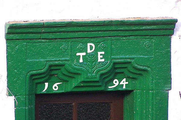 BLO72.jpg Over the door:- "D / T E / 16 94" (taken 25.1.2006) |
||
|
|
||
| evidence:- | old map:- OS County Series (Wmd 7 10) placename:- Waterside |
|
| source data:- | Maps, County Series maps of Great Britain, scales 6 and 25
inches to 1 mile, published by the Ordnance Survey, Southampton,
Hampshire, from about 1863 to 1948. |
|
|
|
||
| evidence:- | old map:- Jefferys 1770 (Wmd) placename:- Water Side |
|
| source data:- | Map, 4 sheets, The County of Westmoreland, scale 1 inch to 1
mile, surveyed 1768, and engraved and published by Thomas
Jefferys, London, 1770.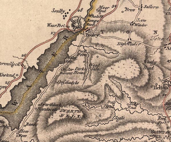 J5NY42SE.jpg "Water Side" no symbol item:- National Library of Scotland : EME.s.47 Image © National Library of Scotland |
|
|
|
||
| evidence:- | old map:- Crosthwaite 1783-94 (Ull) placename:- Water Side |
|
| source data:- | Map, uncoloured engraving, Accurate Map of the Beautiful Lake of
Ullswater, scale about 3 inches to 1 mile, by Peter Crosthwaite,
Keswick, Cumberland, 1783, version published 1800.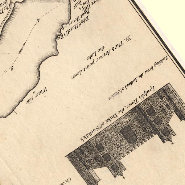 CT5NY42R.jpg "Water side" item:- Armitt Library : 1959.191.7 Image © see bottom of page |
|
|
|
||
| evidence:- | old map:- Clarke 1787 map (Ullswater) placename:- Waterside |
|
| source data:- | Map, A Map of the Lake Ullswater and its Environs, scale about
6.5 ins to 1 mile, by James Clarke, engraved by S J Neele, 352
Strand, published by James Clarke, Penrith, Cumberland and in
London etc, 1787.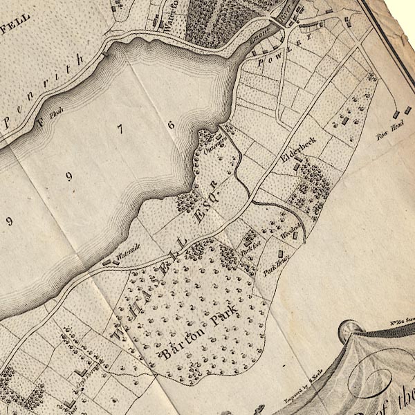 CL4NY42R.jpg "Waterside" item:- private collection : 10.4 Image © see bottom of page |
|
|
|
||
| evidence:- | database:- Listed Buildings 2010 placename:- Waterside House |
|
| source data:- | courtesy of English Heritage "WATERSIDE HOUSE / / / BARTON / EDEN / CUMBRIA / II / 74500 / NY4626623023" |
|
|
|
||
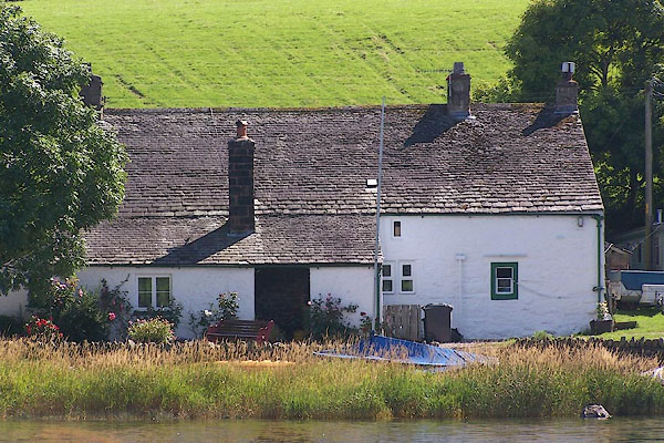 BNZ71.jpg (taken 24.8.2007) |
||
|
|
||
 Lakes Guides menu.