 Old Cumbria Gazetteer
 |
 |
|
| Wythop Woods, Wythop | ||
| Wythop Woods | ||
| locality:- | Wythop | |
| civil parish:- | Wythop (formerly Cumberland) | |
| county:- | Cumbria | |
| locality type:- | wood | |
| coordinates:- | NY20992924 (etc) | |
| 1Km square:- | NY2029 | |
| 10Km square:- | NY22 | |
|
|
||
| evidence:- | old map:- OS County Series (Cmd 55 8) placename:- Wythop Woods |
|
| source data:- | Maps, County Series maps of Great Britain, scales 6 and 25
inches to 1 mile, published by the Ordnance Survey, Southampton,
Hampshire, from about 1863 to 1948. |
|
|
|
||
| evidence:- | old map:- Gents Mag 1751 |
|
| source data:- | Map, uncoloured engraving, Map of the Black Lead Mines in
Cumberland, and area, scale about 2 miles to 1 inch, by George
Smith, published in the Gentleman's Magazine, 1751.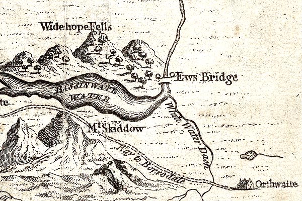 GM1313.jpg trees item:- JandMN : 114 Image © see bottom of page |
|
|
|
||
| evidence:- | descriptive text:- West 1778 (11th edn 1821) |
|
| source data:- | Guide book, A Guide to the Lakes, by Thomas West, published by
William Pennington, Kendal, Cumbria once Westmorland, and in
London, 1778 to 1821. goto source goto sourcePage 121:- "... The whole western boundary [of Bassenthwaite Lake] is the noble range of wooded hills called Wythop-brows. ..." goto source |
|
|
|
||
| evidence:- | old text:- Clarke 1787 |
|
| source data:- | Guide book, A Survey of the Lakes of Cumberland, Westmorland,
and Lancashire, written and published by James Clarke, Penrith,
Cumberland, and in London etc, 1787; published 1787-93. goto source Page 93:- "... The wood of Wythop-brow is very valuable, and the tenants claim hedge-boot, plough-boot, &c. ..." |
|
|
|
||
| evidence:- | old map:- Clarke 1787 map (Bassenthwaite Lake) |
|
| source data:- | Map, A Map of Broadwater and its Environs, ie Bassenthwaite
Lake, scale about 6.5 ins to 1 mile, by James Clarke, engraved
by Neele, 352 Strand, published by James Clarke, Penrith,
Cumberland and in London etc, 1787. CL8NY22E.jpg item:- private collection : 10.8 Image © see bottom of page |
|
|
|
||
Lakes Guides menu.