 |
 |
|
|
|
|
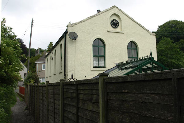
Goat |
|
|
|
Gote |
| locality:- |
Cockermouth |
| civil parish:- |
Cockermouth (formerly Cumberland) |
| county:- |
Cumbria |
| locality type:- |
locality |
| locality type:- |
buildings |
| coordinates:- |
NY11573099 (etc) |
| 1Km square:- |
NY1130 |
| 10Km square:- |
NY13 |
|
|
| evidence:- |
old map:- OS County Series (Cmd 54 4)
placename:- Goat
|
| source data:- |
Maps, County Series maps of Great Britain, scales 6 and 25
inches to 1 mile, published by the Ordnance Survey, Southampton,
Hampshire, from about 1863 to 1948.
|
|
|
| evidence:- |
probably old map:- Ogilby 1675 (plate 96)
|
| source data:- |
Road strip map, hand coloured engraving, the Road from Kendal to
Cockermouth, and the Road from Egremond to Carlisle, scale about
1 inch to 1 mile, by John Ogilby, London, 1675.
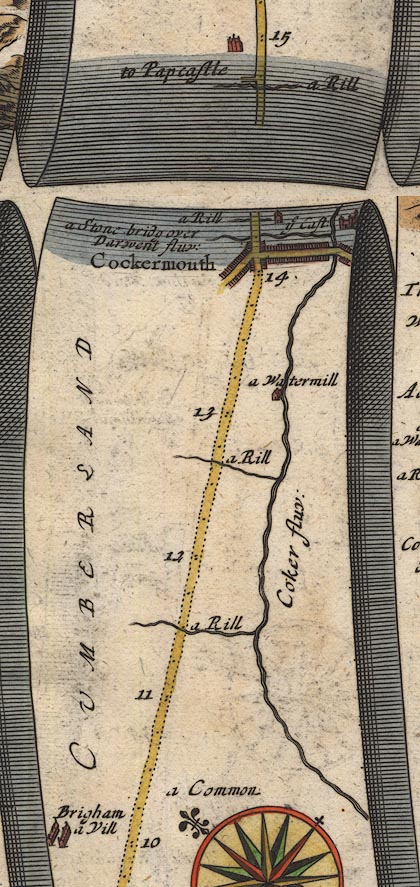
OG96Bm10.jpg
In mile 14, Cumberland.
house drawn to the right of the road, on the line of a river.
item:- JandMN : 22
Image © see bottom of page
|
|
|
| places:- |
 |
NY11583111 Gote Road (Cockermouth) |
|
|
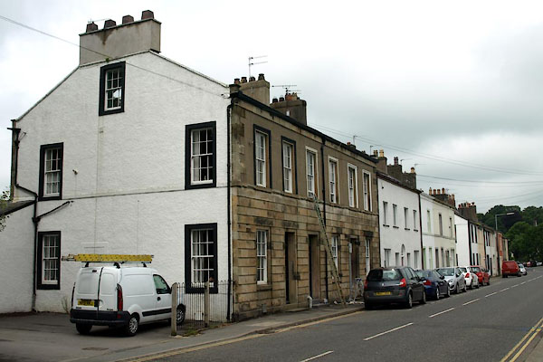 |
NY11613083 Cockermouth: Gote Road, 5 to 9 (Cockermouth) L |
|
|
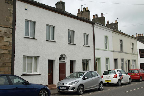 |
NY11613085 Cockermouth: Gote Road, 11 to 19 (Cockermouth) L |
|
|
|
NY11543105 Spital Ing Lane (Cockermouth) |
|
|
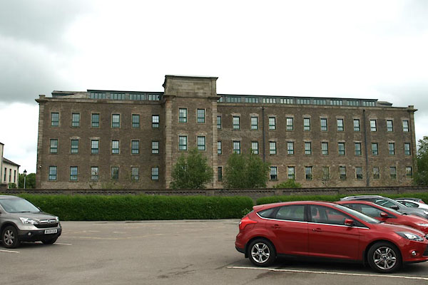 |
NY11863092 Derwent Mills (Cockermouth) L |
|
|
|
NY11473142 Goat Brow (Cockermouth / Papcastle) |
|
|
|
NY11503113 Goat Mills (Cockermouth) |
|
|
|
NY11593098 Goat Well (Cockermouth) not found |
|
|
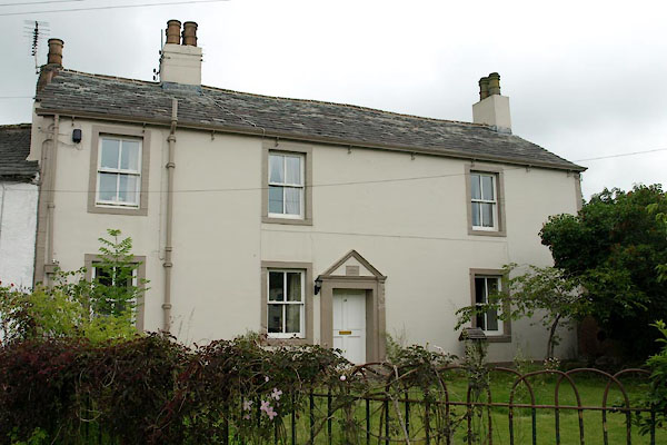 |
NY11633103 Goatmill House (Cockermouth) L |
|
|
|
NY11663134 Hames Hall (Cockermouth) L |
|
|
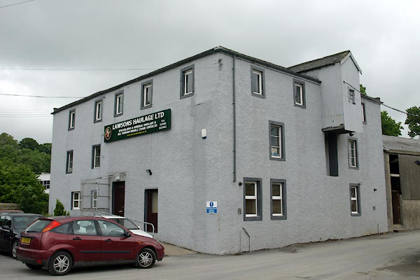 |
NY11613108 High Gote Mill (Cockermouth) L |
|
|
 |
NY11613108 Low Gote Mills (Cockermouth) L |
|
|
|
NY11573103 milestone, Cockermouth (Cockermouth) gone |
|
|
|
NY11533089 nursery, Cockermouth (Cockermouth) gone |
|
|
 |
NY11483115 Old Pump House (Cockermouth) |
|
|
 |
NY11543109 St Leonard's House (Cockermouth) L |
|
|
|
NY11583107 Goat Mill Bridge (Cockermouth) |
|
