Old Cumbria Gazetteer
 |
 |
|
||
| Red Beck (2) | ||||
| runs into:- |  Ehen, River Ehen, River |
|||
|
|
||||
| Red Beck | ||||
| civil parish:- | Arlecdon and Frizington (formerly Cumberland) | |||
| civil parish:- | Lamplugh (formerly Cumberland) | |||
| county:- | Cumbria | |||
| locality type:- | river | |||
| locality type:- | boundary | |||
| locality type:- | parish boundary | |||
| 1Km square:- | NY0516 (etc) | |||
| 10Km square:- | NY01 | |||
|
|
||||
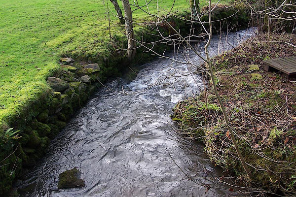 BOJ62.jpg At the bridge by Red Beck House. (taken 7.12.2007) |
||||
|
|
||||
| evidence:- | old map:- OS County Series (Cmd 68 5) placename:- Mill Beck |
|||
| source data:- | Maps, County Series maps of Great Britain, scales 6 and 25
inches to 1 mile, published by the Ordnance Survey, Southampton,
Hampshire, from about 1863 to 1948. OS County Series (Cmd 68 9) |
|||
|
|
||||
| evidence:- | old map:- Ogilby 1675 (plate 96) |
|||
| source data:- | Road strip map, hand coloured engraving, the Road from Kendal to
Cockermouth, and the Road from Egremond to Carlisle, scale about
1 inch to 1 mile, by John Ogilby, London, 1675.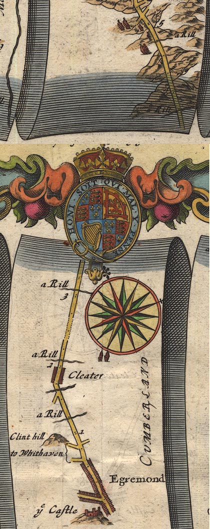 OG96Bm00.jpg In mile 3, Cumberland. "a Rill" drawn across the road. item:- JandMN : 22 Image © see bottom of page |
|||
|
|
||||
| places:- |
|
|||
Lakes Guides menu.