 Old Cumbria Gazetteer
 |
 |
|
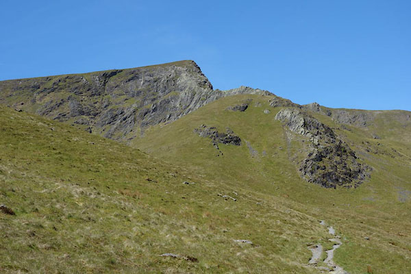
| Atkinson Pike, Threlkeld | ||
| Atkinson Pike | ||
| locality:- | Saddleback | |
| civil parish:- | Threlkeld (formerly Cumberland) | |
| civil parish:- | Mungrisdale (formerly Cumberland) | |
| county:- | Cumbria | |
| locality type:- | hill | |
| coordinates:- | NY32552830 (etc) | |
| 1Km square:- | NY3228 | |
| 10Km square:- | NY32 | |
|
|
||
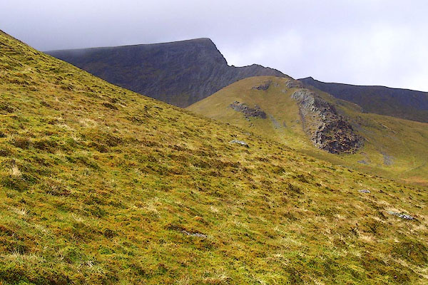 BPC98.jpg (taken 2.5.2008) 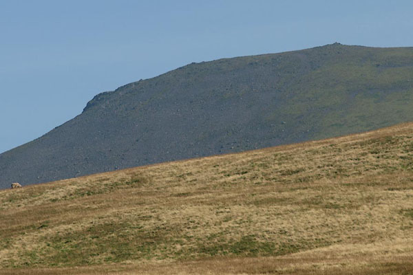 BPR45.jpg Blue Screes. (taken 26.9.2008) |
||
|
|
||
| evidence:- | old map:- OS County Series (Cmd 56 12) placename:- Atkinson Pike |
|
| source data:- | Maps, County Series maps of Great Britain, scales 6 and 25
inches to 1 mile, published by the Ordnance Survey, Southampton,
Hampshire, from about 1863 to 1948. |
|
|
|
||
| evidence:- | old map:- Gents Mag 1747 placename:- Blen Carter Height |
|
| source data:- | Map, uncoloured engraving, perspective view, Caudbeck Fells ie
Caldbeck Fells, scale about 1+ miles to 1 inch, published in the
Gentleman's Magazine, 1747.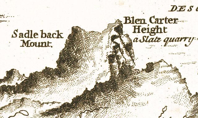 GM1401.jpg "Blen Carter Height" knobbly hillocks; mountains; marked with a Slate quarry for which I have no other evidence item:- Carlisle Library : Map 43 Image © Carlisle Library |
|
|
|
||
| evidence:- | perhaps old print:- Fielding and Walton 1821 (plate 3) |
|
| source data:- | Print, coloured aquatint, Purple Tarn, Top of Saddleback, ie Scales Tarn, Threlkeld,
Cumberland, drawn by Theodore H A Fielding, published by R Ackermann, 101 Strand,
London, 1821.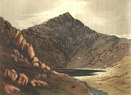 click to enlarge click to enlargeFW0103.jpg Atkinson Pike in the background? Tipped in opposite p.4 in A Picturesque Tour of the English Lakes. item:- Dove Cottage : 1993.R566.3 Image © see bottom of page |
|
|
|
||
| evidence:- | possibly outline view:- Otley 1823 (4th edn 1830) placename:- Little Fell |
|
| source data:- | Print, engraving, Outline View of Skiddaw, and Saddleback, as seen on approaching
Keswick from the South, published by Jonathan Otley, Keswick, Cumberland et al, 1830.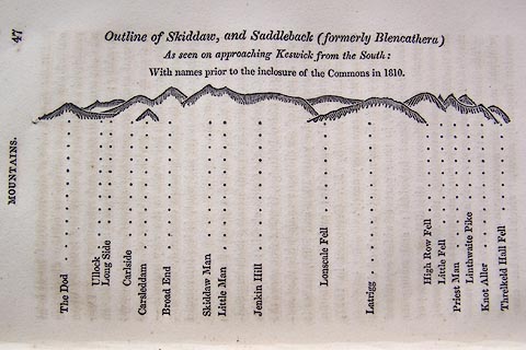 click to enlarge click to enlargeO75E01.jpg p.47 in A Concise Description of the English Lakes, by Jonathan Otley, 4th edition, 1830. "Outline View of Skiddaw, and Saddleback (formerly Blencathera) As seen on approaching Keswick from the South: With names prior to the inclosure of the Commons in 1810." "The Dod / Ullock / Long Side / Carleside / Carsleddam / Broad End / Skiddaw Man / Little Man / Jenkin Hill / Lonscale Fell / Latrigg / High Row Fell / Little Fell / Priest Man / Linthwaite Pike / Knot Aller / Threlkeld Hall Fell" item:- Armitt Library : A1175.2 Image © see bottom of page |
|
|
|
||
| evidence:- | possibly old text:- Ford 1839 (3rd edn 1843) placename:- Lile Fell |
|
| source data:- | Guide book, A Description of Scenery in the Lake District, by
Rev William Ford, published by Charles Thurnam, Carlisle, by W
Edwards, 12 Ave Maria Lane, Charles Tilt, Fleet Street, William
Smith, 113 Fleet Street, London, by Currie and Bowman,
Newcastle, by Bancks and Co, Manchester, by Oliver and Boyd,
Edinburgh, and by Sinclair, Dumfries, 1839. goto source goto sourcePage 65:- "..." "BLENCATHRA OR SADDLEBACK." "... From the summit of the mountain you may descend either directly upon Threlkeld, or by Lile Fell, Priestman, and Knott Crags, to the Glenderaterra ..." |
|
|
|
||
 CDI40.jpg and Sharp Edge. (taken 11.6.2015) 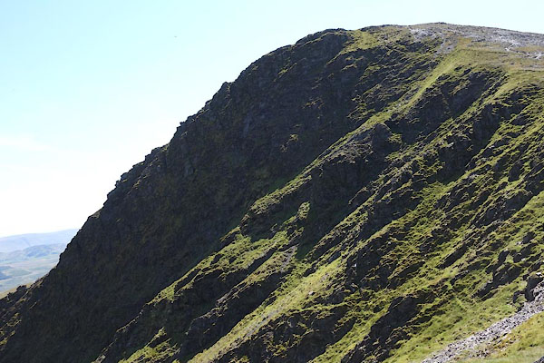 CDI60.jpg (taken 11.6.2015) 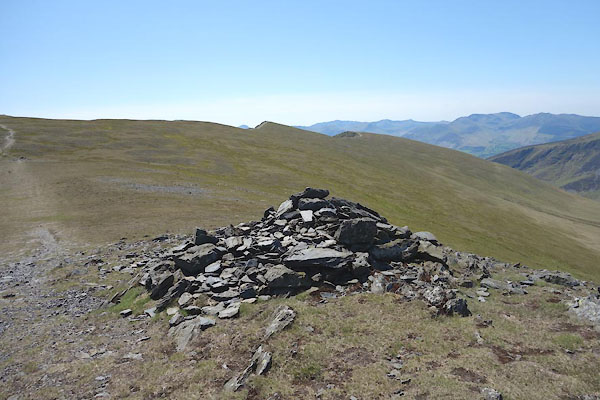 CDI66.jpg Cairn, boundary mark, (taken 11.6.2015) |
||
|
|
||
Lakes Guides menu.