 Old Cumbria Gazetteer
 |
 |
|
| barn, Longsleddale (3) | ||
| locality:- | Sadgill | |
| civil parish:- | Longsleddale (formerly Westmorland) | |
| county:- | Cumbria | |
| locality type:- | barn (disused) | |
| locality type:- | hogghouse | |
| coordinates:- | NY48140538 | |
| 1Km square:- | NY4805 | |
| 10Km square:- | NY40 | |
|
|
||
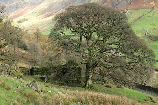 BRU96.jpg (taken 8.11.2009) 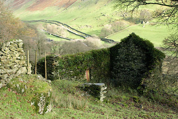 BRU98.jpg (taken 8.11.2009) 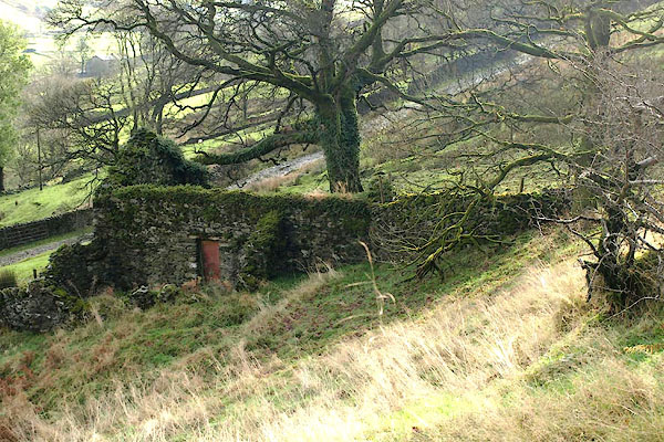 BRV01.jpg (taken 8.11.2009) |
||
|
|
||
| evidence:- | old map:- OS County Series (Wmd 27 6) |
|
| source data:- | Maps, County Series maps of Great Britain, scales 6 and 25
inches to 1 mile, published by the Ordnance Survey, Southampton,
Hampshire, from about 1863 to 1948. The hogghouse is drawn but not labelled at the south side of Sadgill Wood. |
|
|
|
||
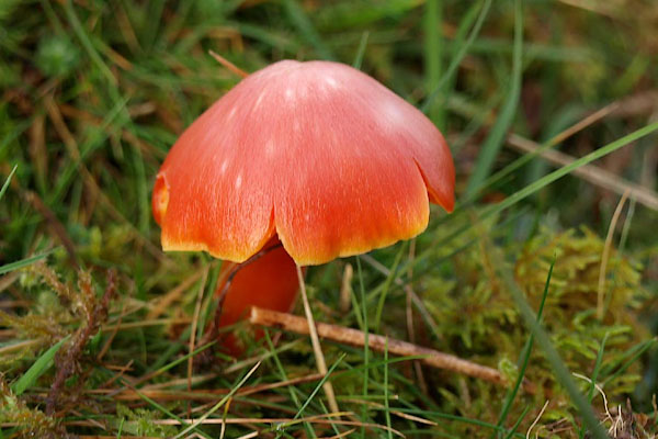 BRU69.jpg Just near the hogghouse - perhaps Russula sp? (taken 8.11.2009) |
||
|
|
||
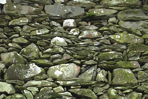 BRV02.jpg Walling. (taken 8.11.2009) |
||
|
|
||
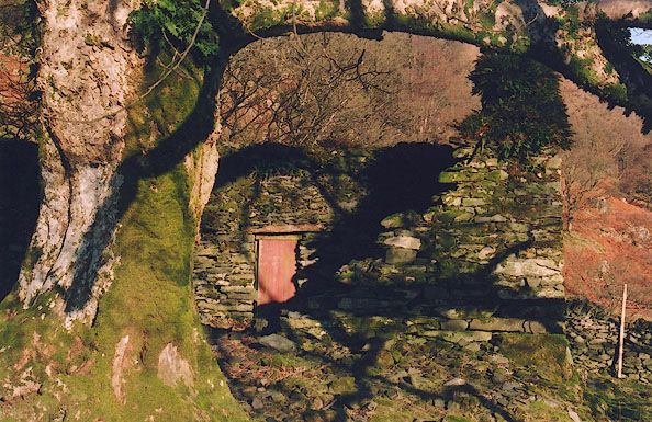 BIK05.jpg (taken 15.2.2004) |
||
|
|
||
 Lakes Guides menu.